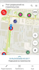
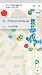
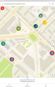
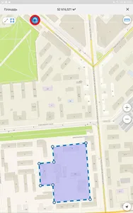
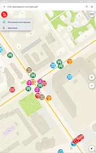
CityCloud Inspector is a handy application for working with electronic maps on mobile devices, wherever you are. All functions of the application, including viewing maps, determining the current location, adding, editing, identifying, searching for objects and other possibilities of working with maps are available even outside the network.
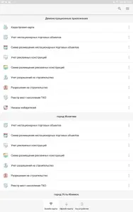
With the CityCloud.Inspector app on your smartphone, you get access to online maps published on the CityCloud portal, as well as offline maps stored in the app's built-in gallery.
CityCloud. Today, the inspector is successfully used by specialists in various fields to solve problems such as monitoring the movement of employees and contractors, planning and monitoring the implementation of field work, collecting and updating data during their implementation, informing and collecting complaints from citizens.
Application features
Navigation and work with the map
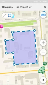
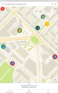
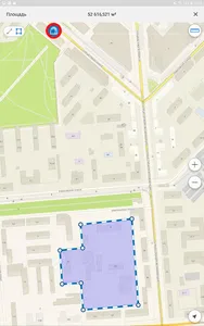
Determination of the current location using the built-in navigation system GLONASS / GPS of a mobile device, setting the visibility of layers, changing the scale, identifying objects, recording tracks along the way.
Data collection
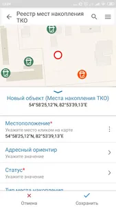
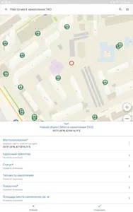
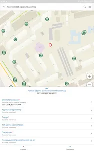
Collect field data using pre-configured templates, automatically send collected data to a server for publication.
Adding attachments to objects
Attaching texts, photos, videos and other media files to objects for maximum information content of mobile maps.
Ease of use
An intuitive interface that allows you to quickly understand all the features of the application, even for a non-specialist.
Search and identification of objects
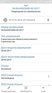
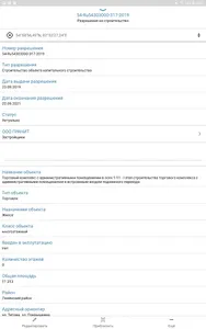
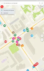
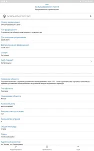
Search for objects by attributes and coordinates with the ability to bring the map closer to the found objects, view information about objects in identification cards.
Autonomous work
Full-fledged work with the map even in the most inaccessible places, regardless of the presence of the Internet and online services.
Authorization and access
Regulation of access rights to the catalog of cards and user authorization possibilities using flexible settings.
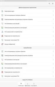
Working with the map catalog
Updating the list of available maps, viewing descriptions, searching for maps by name.
Settings
Use different options to customize the application based on your production needs.
Contacts
Any questions or comments regarding the use of the application can be sent to support@dataeast.com, we will be happy to help!
Show More

