GPS Waypoints Navigator | MAPS
Disciple Skies Software
4.6 ★
4K ratings
50,000+
downloads
$9.99
In this navigation app, users can create, organize, and share waypoints for various environments. Includes offline maps, trail recording features, and support for multiple map sources.
AppRecs review analysis
AppRecs rating 4.6. Trustworthiness 74 out of 100. Review manipulation risk 27 out of 100. Based on a review sample analyzed.
★★★★☆
4.6
AppRecs Rating
Ratings breakdown
5 star
75%
4 star
19%
3 star
2%
2 star
2%
1 star
2%
What to know
✓
Low review manipulation risk
27% review manipulation risk
✓
Credible reviews
74% trustworthiness score from analyzed reviews
✓
High user satisfaction
75% of sampled ratings are 5 stars
About GPS Waypoints Navigator | MAPS
GPS Waypoints Navigator offers dozens of options for navigating the back-country, waterways and roadways. Venture beyond network reach using offline maps and tools that only require a good view of the sky. Create and organize waypoints, record trails and share location data with friends.
★ Typical Usage:
✔️ Trail hiking and track recording.
✔️ Off road and ATV (all-terrain vehicle) navigation.
✔️ Maritime navigation.
✔️ Camping / orienteering.
✔️ City and wilderness exploration.
✔️ Geocaching.
✔️ Surveying and coordinate logging.
✔️ Hunting and fishing.
With GPS Waypoints Navigator, you get:
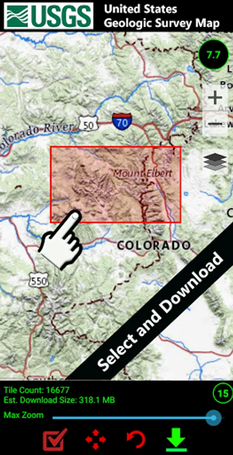
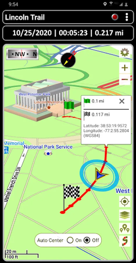
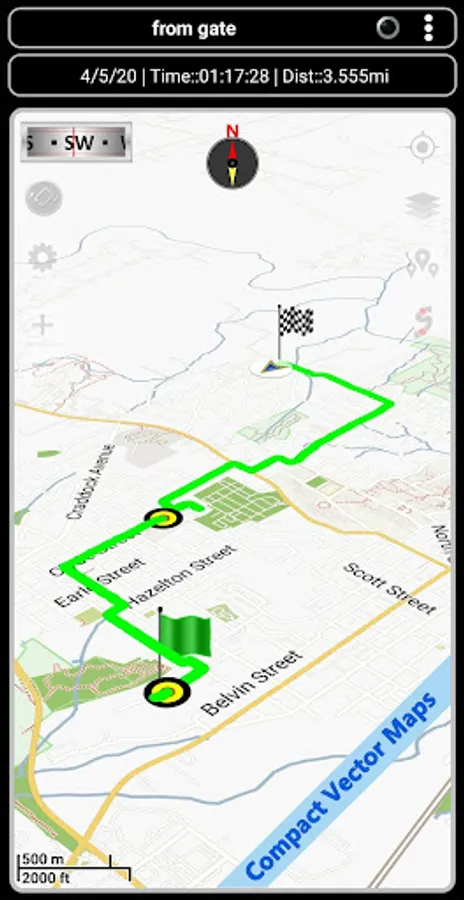
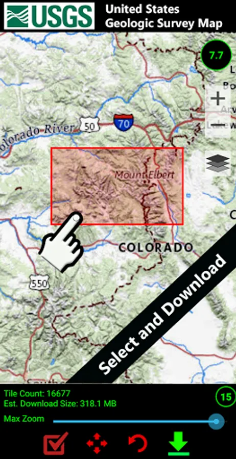
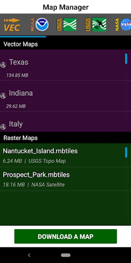
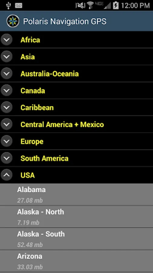
★ Unlimited access to our 3D vector map library with over 400 maps. Download maps for offline use. Maps can be transferred to your SD card to free-up internal memory.
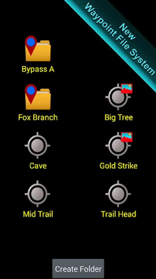
★ Searchable waypoint and trail management systems including our one-of-a-kind waypoint filing system.
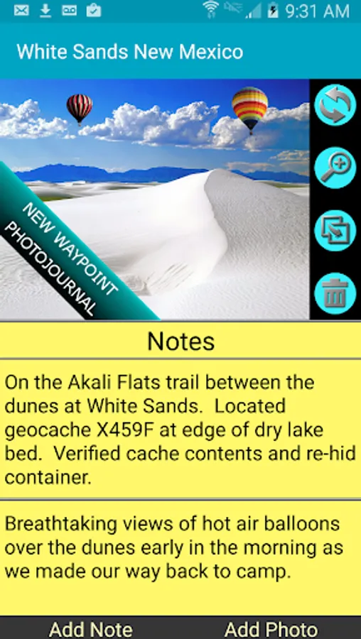
★ Waypoint photojournal - attach notes and coordinate-tagged photos to your waypoints.
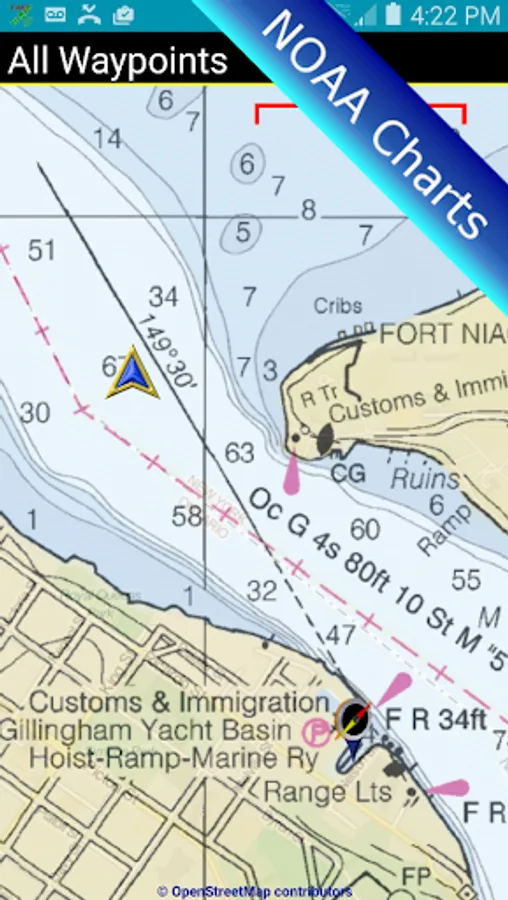
★ Maps! Choose from multiple sources: Downloadable vector and raster maps, Topo Maps, Google Maps, Satellite Maps, OpenStreetMaps- MapNik, Cycling Maps, OpenSeaMap, USGS Topo Maps, Canada Toporama, Trail Hiking and Biking, NOAA Nautical Charts (raster and ENC) and several others.
★ KML, GPX and KMZ file importing and exporting for trails, waypoints, photos and notes. Share data and view it in Google Earth.
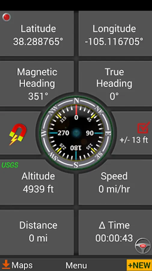
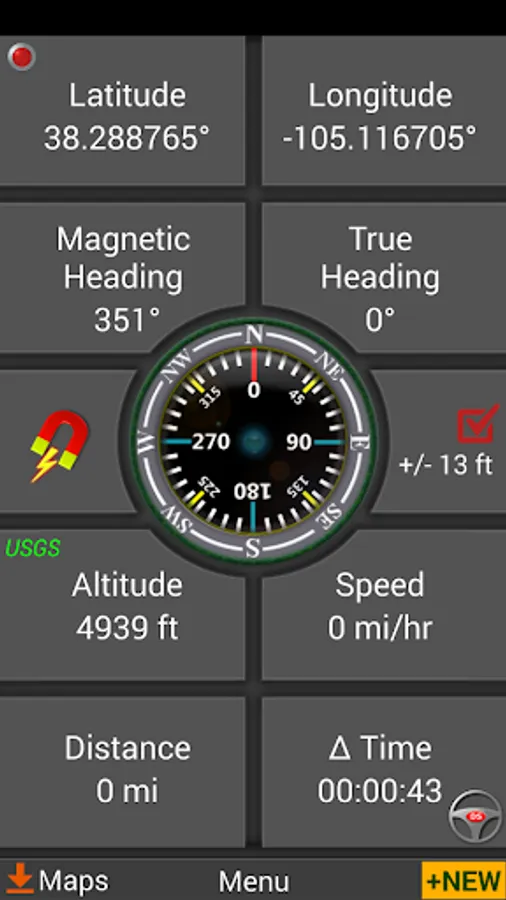
★ Reporting panel for GPS parameters.
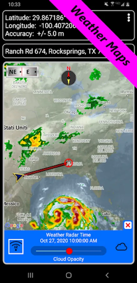
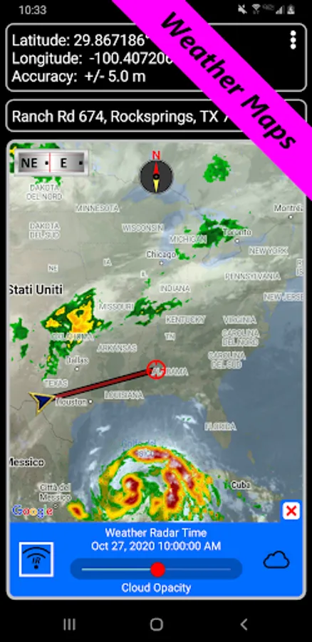
★ Weather Maps with animated live Doppler radar and cloud patterns.
★ Navigational and waypoint compasses.
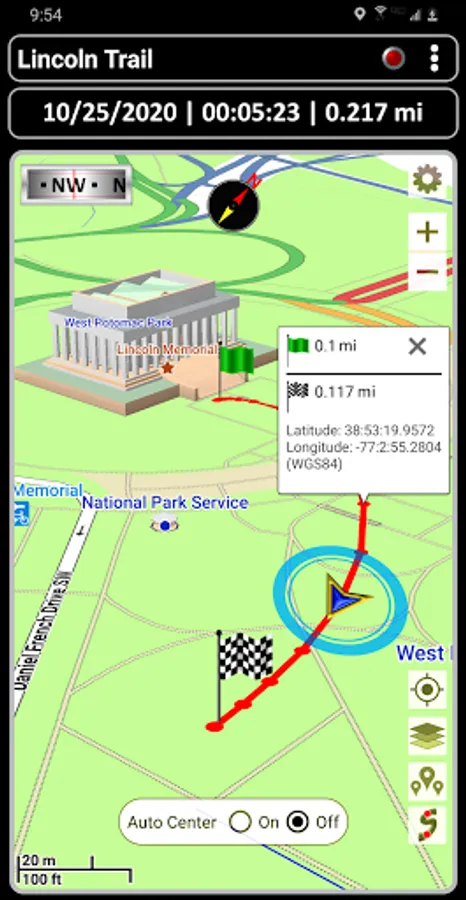
★ Trail recording and trail drawing board.
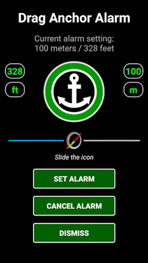
★ Drag anchor alert. Drop anchor and set a drift radius.
★ Military coordinate finder.
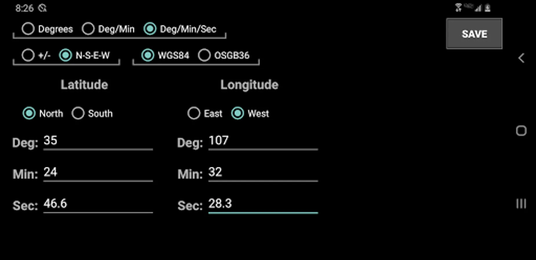
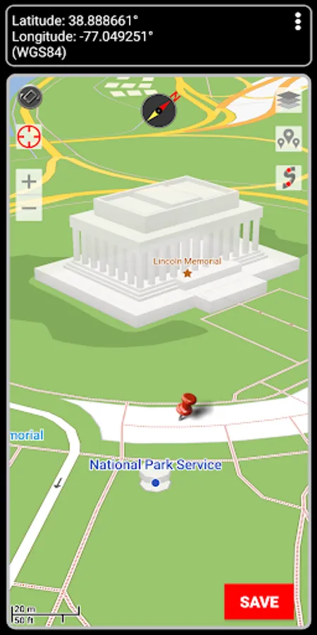
★ Several waypoint creation tools: Enter coordinates, drop a pin on a map, save your current position or enter an address.
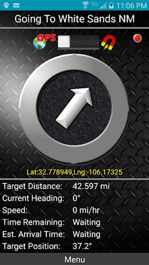
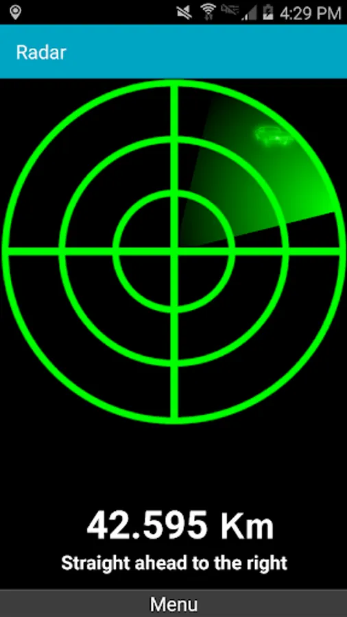
★ Two Waypoint Guidance Systems including a dynamic waypoint compass that always points to your target and GPS Reflected Pseudo-Radar.
★ Map Search: Supports entry of addresses and coordinates in just about any format including UTM, MGRS.
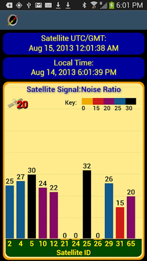
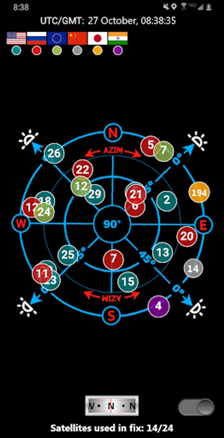
★ GPS Satellite graphs and position charts.
★ Email a map of your position.
★ Seamless integration with Google Earth.
★ Marine Navigation. Features NOAA Nautical Charts, OpenSeaMap and nautical unit reporting.
★ Supports several coordinate formats: Latitude/Longitude as degrees, deg:min or deg:min:sec, UTM, MGRS, British Ordnance Survey.
★ Waypoint proximity alerts.
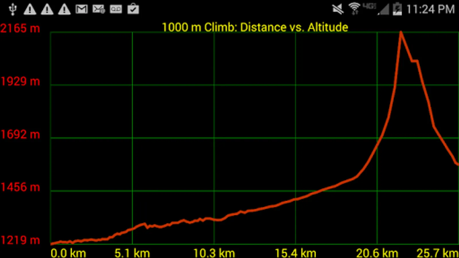
★ Altitude profiles for trails and altitude lookup for any waypoint.
★ Maps with several measurement tools allow you to get distance and bearing to any point and inter-waypoint distances.
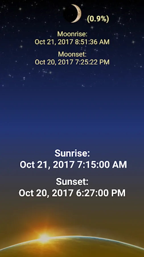
★ Stay abreast of environmental conditions that may affect navigation with weather maps and reporting for sunrise, sunset, moonrise, moonset, moon phase- also useful for planning expedition turn around time or time to make camp.
With GPS Waypoints Navigator, everything is included in your original purchase. No account setup or registration is required.
Also get:
- Turn-by-turn driving directions and driving maps via a digital connection to the Google Maps app on your device.
- Control settings for all compasses. Use magnetic control for indoors, underground or in caves, use GPS otherwise.
- Export your tracks and waypoints as GPX files and upload them to Openstreetmap to help build / update the map.
- Import GPX files from Garmin.
- Altitude sourcing: Choose satellite, US Geologic Survey location based altitude or SRTM data. USGS available only in contiguous U.S.A, Canada and Mexico.
- Excellent customer service.
- Supports multiple languages: English, Spanish, German, Portuguese, Japanese, French, Italian, Russian, Chinese (traditional and simplified).
With GPS Waypoints Navigator, every navigation experience will be as easy as a walk in the park!
GPS Waypoints Navigator | MAPS Screenshots

Tap to Rate:
Reviews for GPS Waypoints Navigator | MAPS
Mitch Leavitt
12/25/2025
This is the only program I found (so far) that allows me to store maps to my SD card and access them for GPS routing, etc., without a Wi-Fi connection or data plan. (now Google Maps does, too). I download all the maps and create waypoints while connected to Wi-Fi, but then can go off on the road or the trail and this app works. July 2025 Update: still use this app with my Galaxy S25, with unlimited data. Essential where there is no coverage.
Slithy Tove
12/24/2025
I have spent significant time using and teaching map and compass. This app is worth having on my phone ( I do not place many apps on my phone). I still prefer Mao and compass but this is a great supplement and often primary tool.