Matses Ancestral Territory Map
Acate Amazon Conservation
100+
downloads
Free
About Matses Ancestral Territory Map
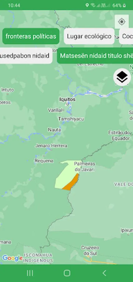
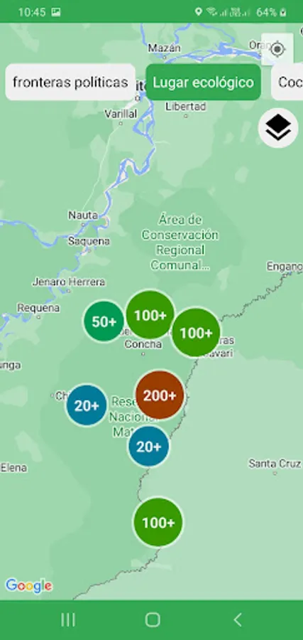
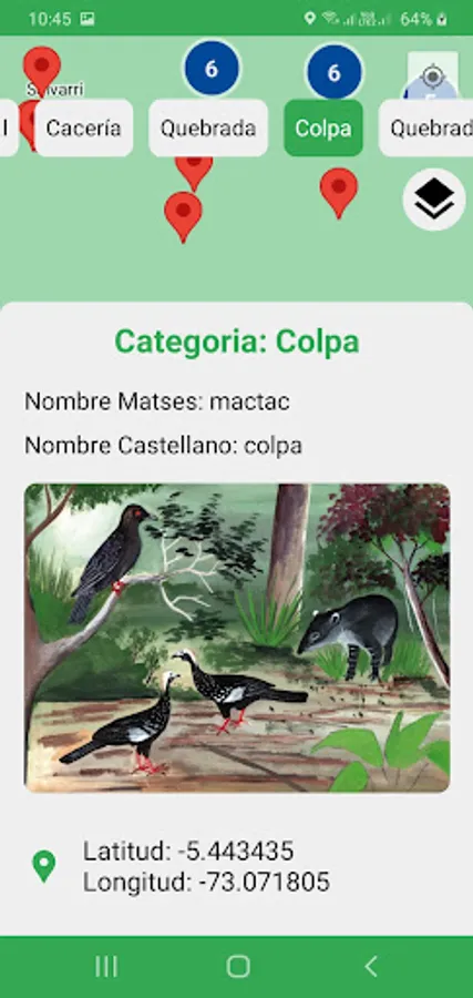
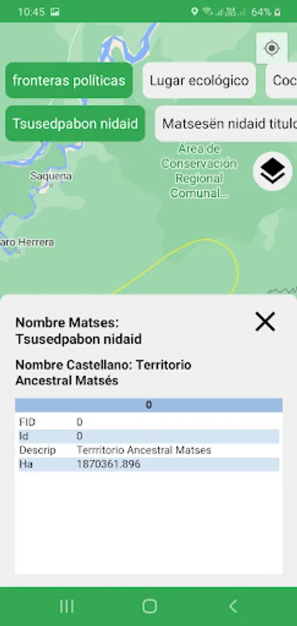
This entertaining bilingual Matses-Spanish interactive application is designed to help familiarize young members of the Matses Indigenous Community of Amazonian Peru with their ancestral territory. It includes over 12,000 geographical coordinate points of historical, ecological, cultural, or political
importance to the Matses, recorded by teams of trained Matses cartographers over a 3-year period,
covering an area of over 6000 square kilometers under the auspices of Acate Amazon Conservation. Almost all points are illustrated with watercolor drawings by Matses artist Guillermo Nëcca Pëmen Mënquë or with photographs taken by the Matses cartographers. Additionally, audio files recorded in the Matses languages from Matses elders provide ecological, cultural, historical, etc., information for most coordinate points. The application also features overlay maps of political boundaries of the Matses territory, adjacent national parks and reserves, and proposed reserves in neighboring. It also provides copies of their land titles and legal documentation for neighboring actual and proposed reserved in their area.