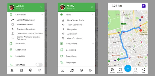
You can show your spatial data on the map, collect spatial data on the land. share your layers, real-time drawing and managing. show geojson, kml, kmz, gpx, wkt, mbtiles, shp shapefile, excel, ncn files on the map, add wfs, wms, wmts, xyz tile and pfb vector tile services, use destination and navigation, track your GPS coordinates. get elevation data, send your layers to cloud, measuring and calculations.
Show More