Mapas de España
Centro Nacional de Información Geográfica - CNIG
4.5 ★
3K ratings
500,000+
downloads
Free
With this mapping app, you can view and navigate offline maps of Spain, create and save routes, and access geospatial data from governmental sources. Includes GPS tracking, route import/export, and support for multiple map services.
AppRecs review analysis
AppRecs rating 4.5. Trustworthiness 68 out of 100. Review manipulation risk 34 out of 100. Based on a review sample analyzed.
★★★★☆
4.5
AppRecs Rating
Ratings breakdown
5 star
62%
4 star
31%
3 star
8%
2 star
0%
1 star
0%
What to know
✓
High user satisfaction
92% of sampled ratings are 4+ stars (4.5★ average)
✓
Authentic reviews
Natural distribution, no red flags
About Mapas de España
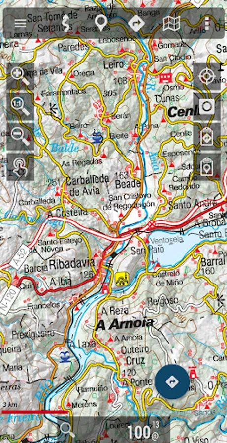
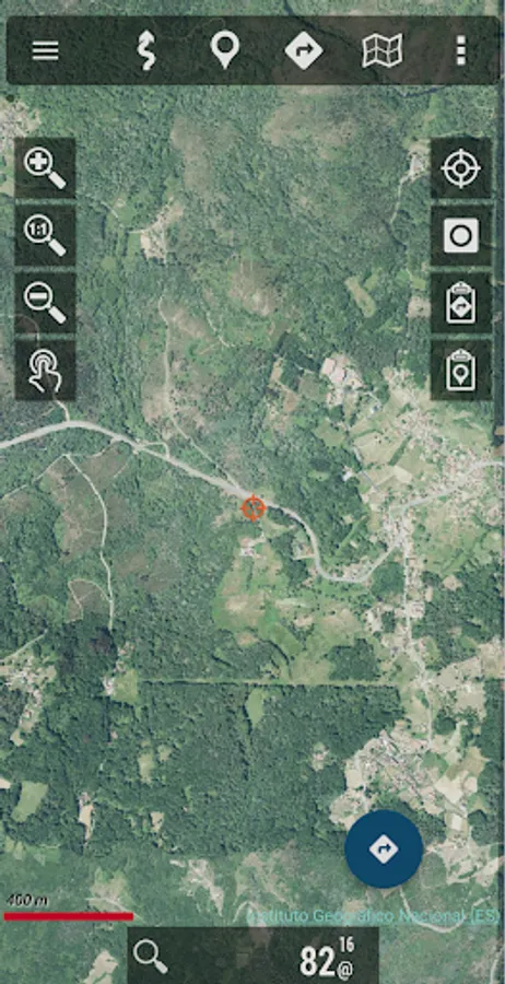
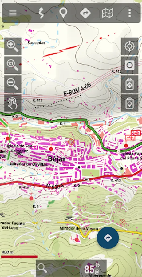
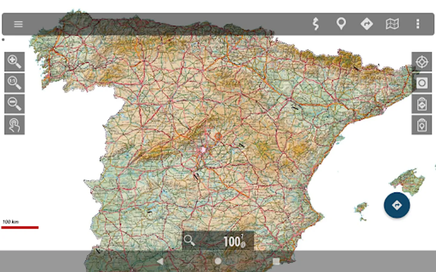
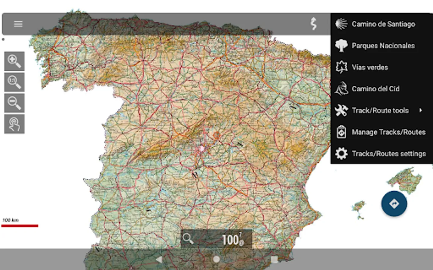
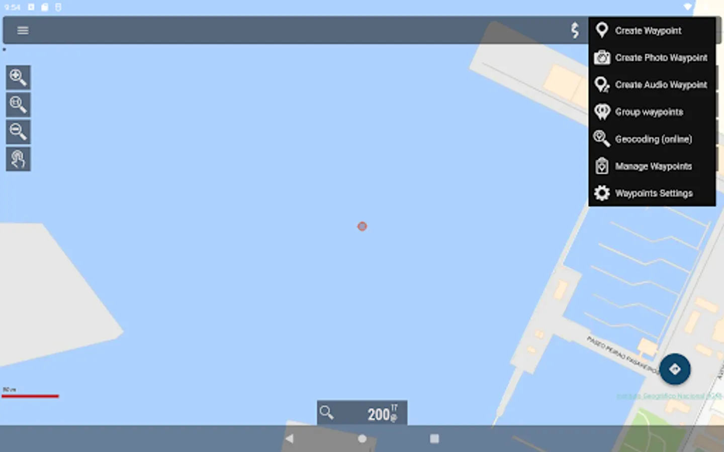
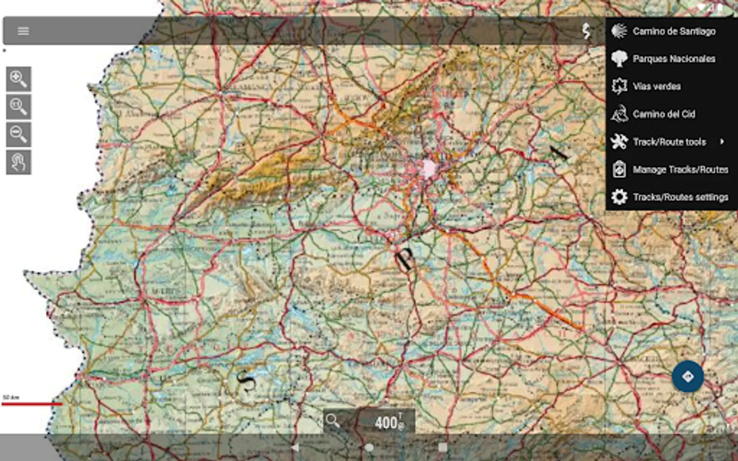
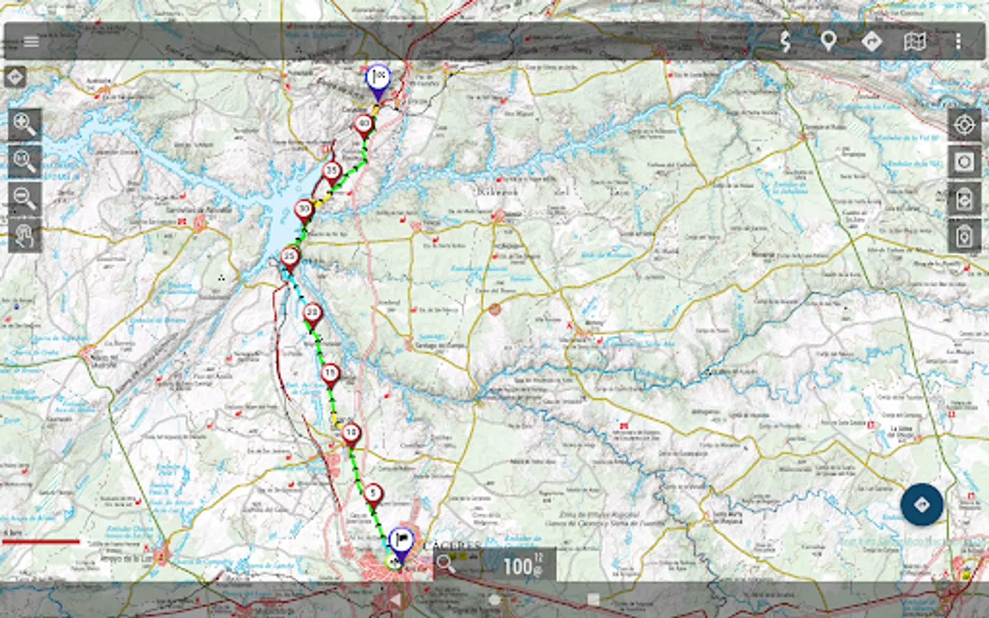
With this application you can travel the routes of the National Parks or the stages of the Camino de Santiago or use your TRACKS/ROUTES, plan excursions using maps, navigation and guided tours, without having to have an internet connection.
All maps and routes used are free and allow you to:
- GPS location, even without mobile coverage
- Offline map mode*: save them in advance
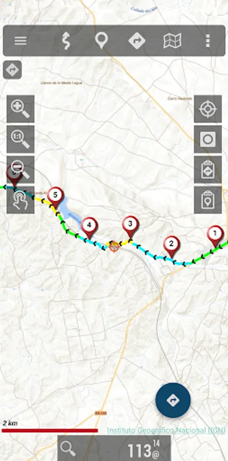
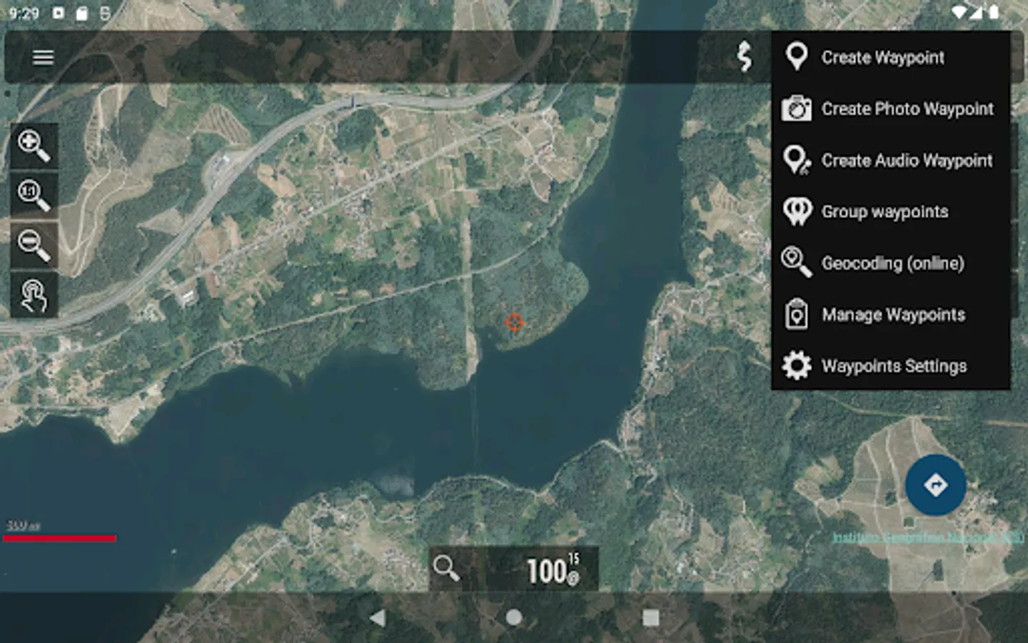
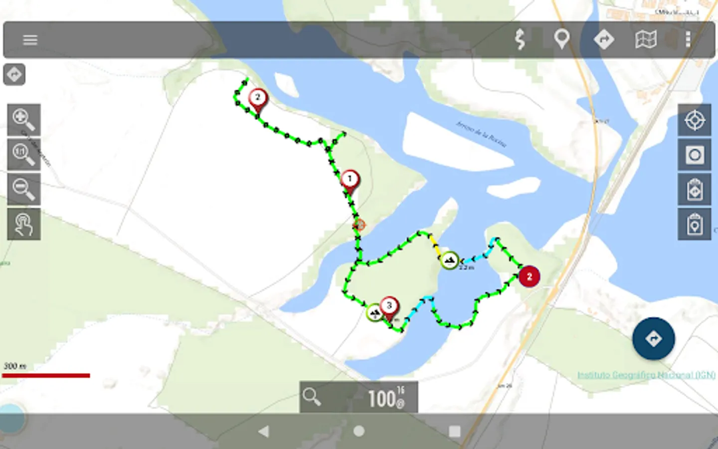
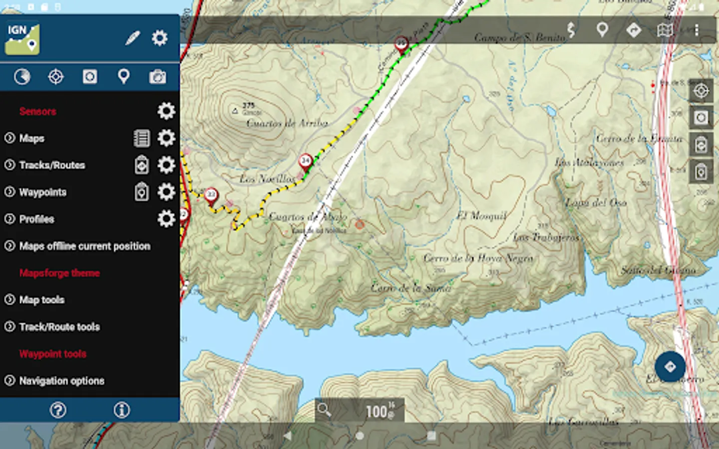
- Trace routes (Tracks) with GPS on the maps of the National Geographic Institute.
- Save and view tracks in gpx or kml and kmz format.
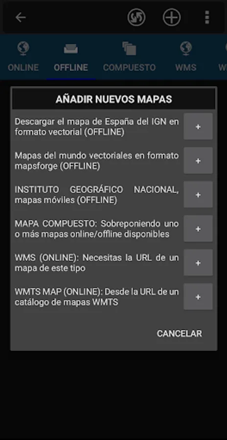
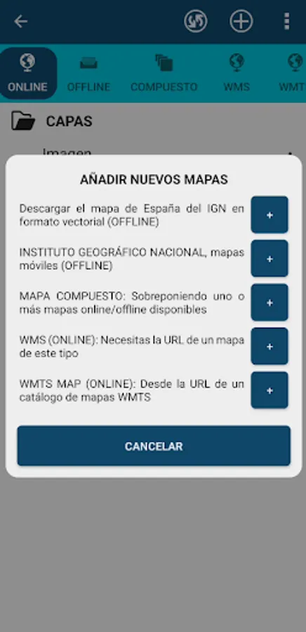
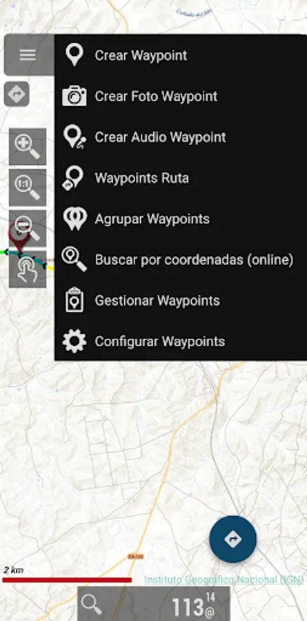
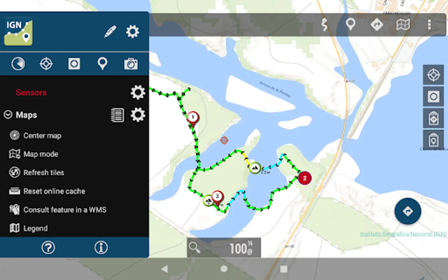
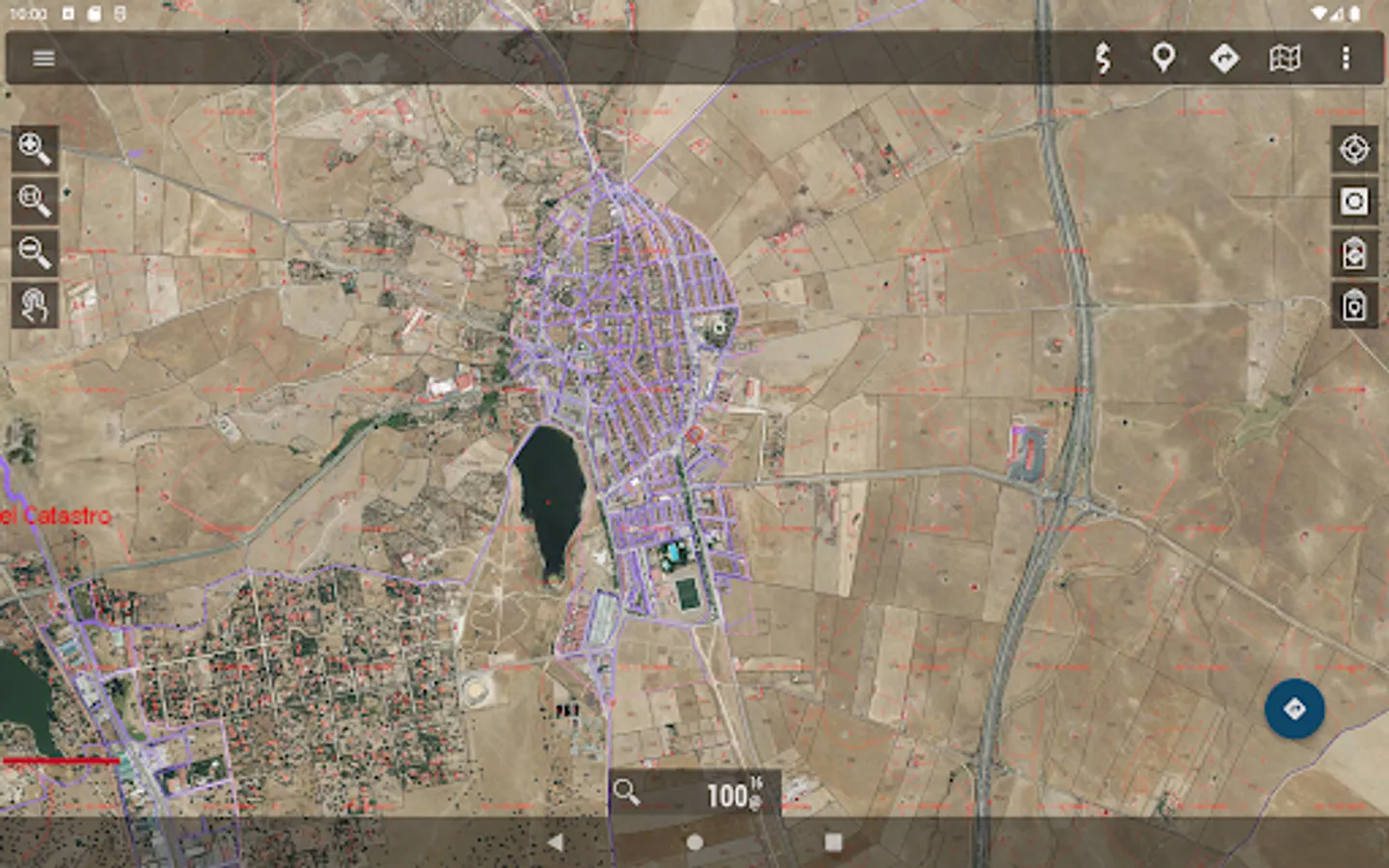
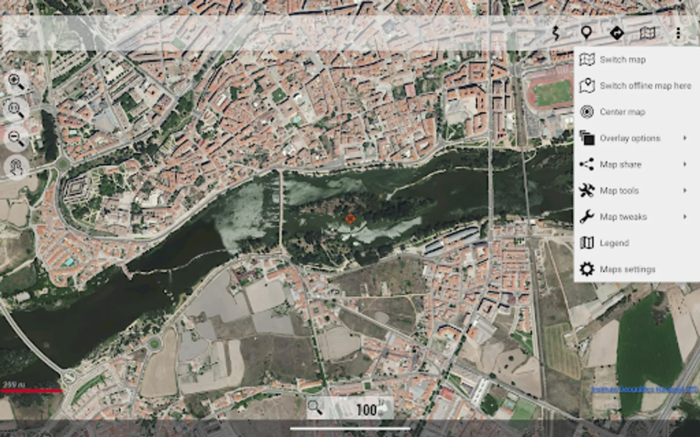
- Supports IGN's WMS and WMTS map services, you can use the application as a WMS viewer
- Use the services of the CartoCiudad project to locate places
- Positioning visualization using coordinates, heading, speed, altitude. Distance calculation
- The application is available in Spanish, Catalan, Galician, Basque and English.
- Based on OruxMaps software.
Maps of Spain is used as a GIS tool, comes from a Spanish government department (https://www.ign.es/web/ign/portal) and is used by professionals of various types, including workers of the Spanish State (police, forest guards, firefighters...)
It is common to have the catalog of maps of Spain in internal storage. For example, databases, in mbtiles format:
https://centrodedescargas.cnig.es/CentroDescargas/loadMapMov.do
It is not possible to move all that information to the private storage of each app that wants to use that data (we are talking about tens or hundreds of gigabytes). And from public storage, using the Android file access system, direct and random access to files is not allowed, which is required by the app to access databases or binary map formats.
Without this permission, professional and non-professional users who regularly use the app as a GIS will not be able to continue using the app as needed.
Identification Number of Official Publications (NIPO): 162190330
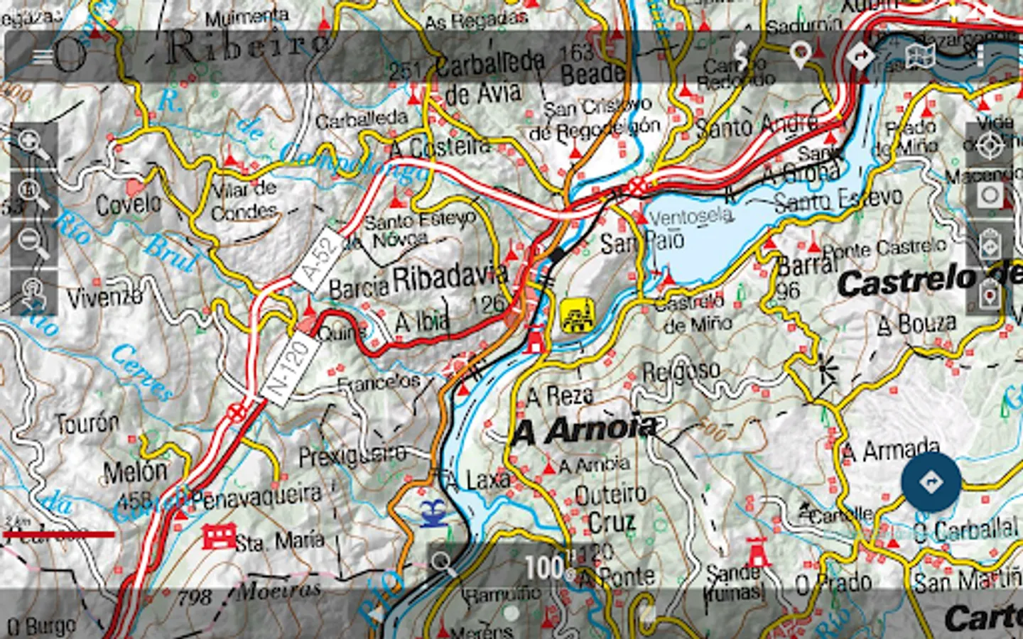
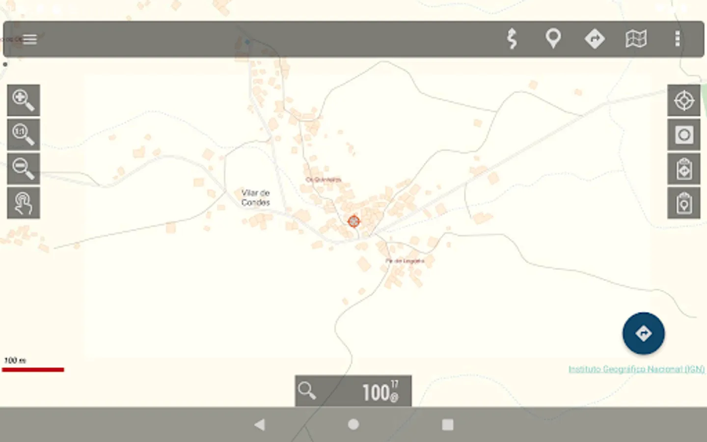
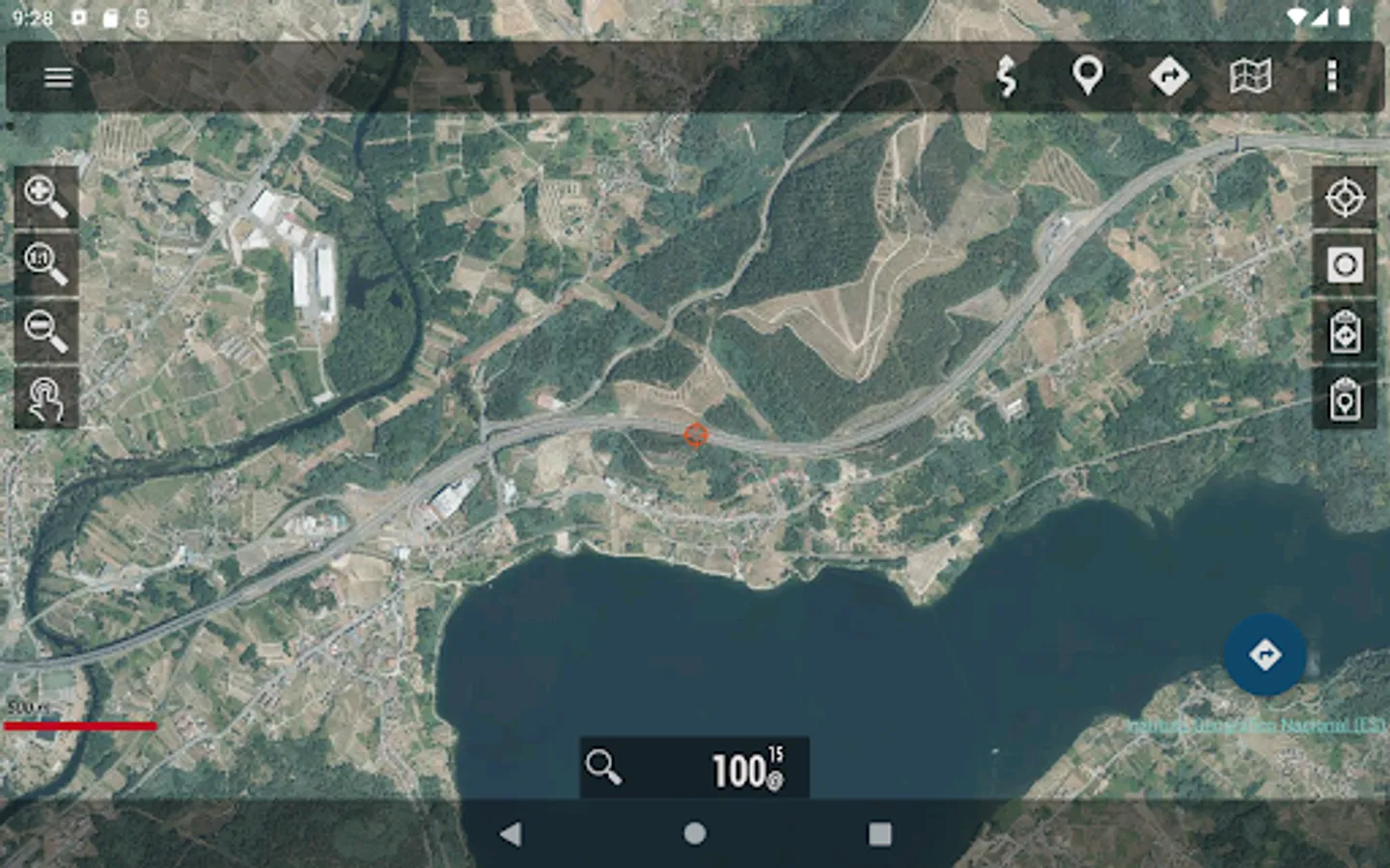
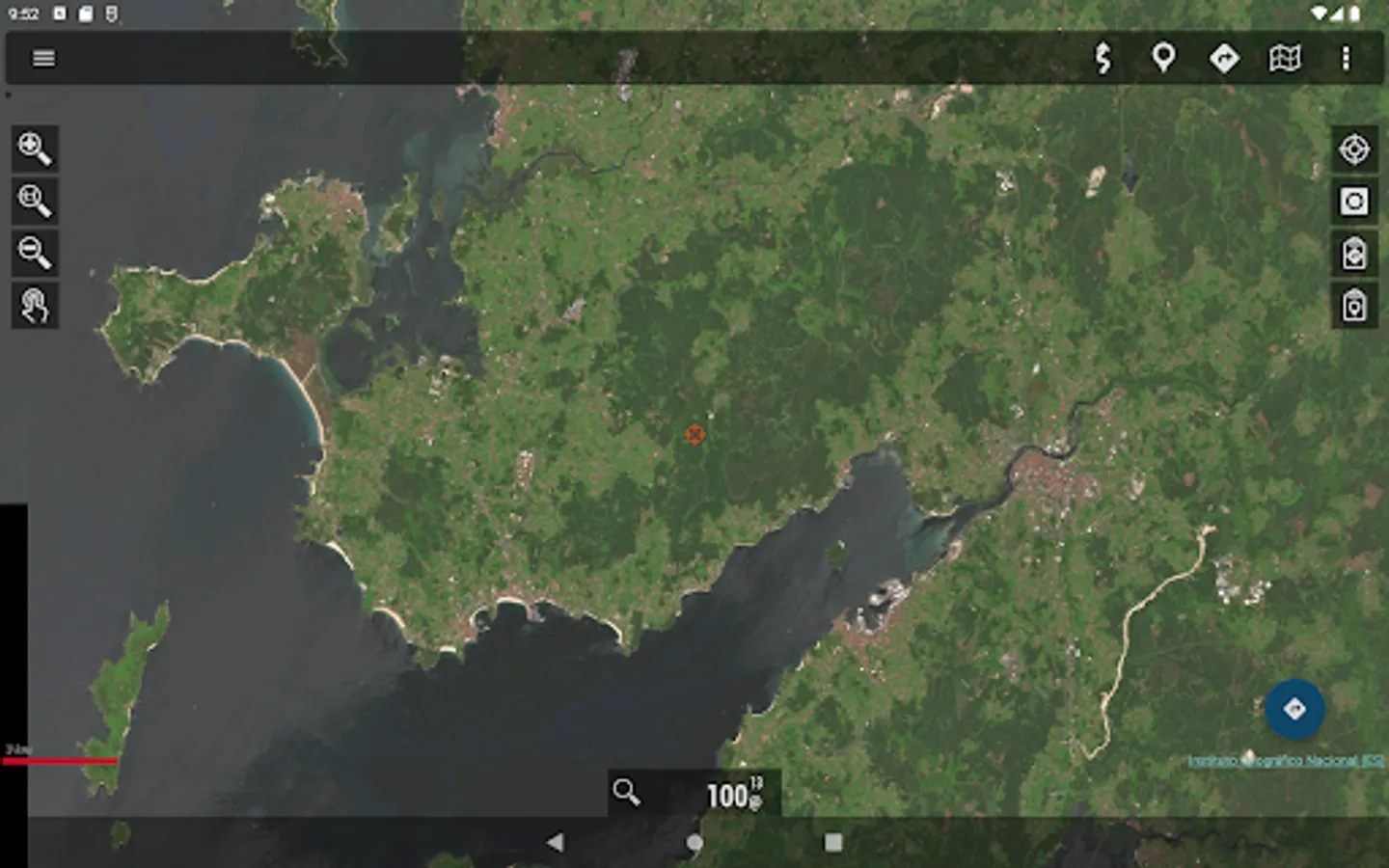
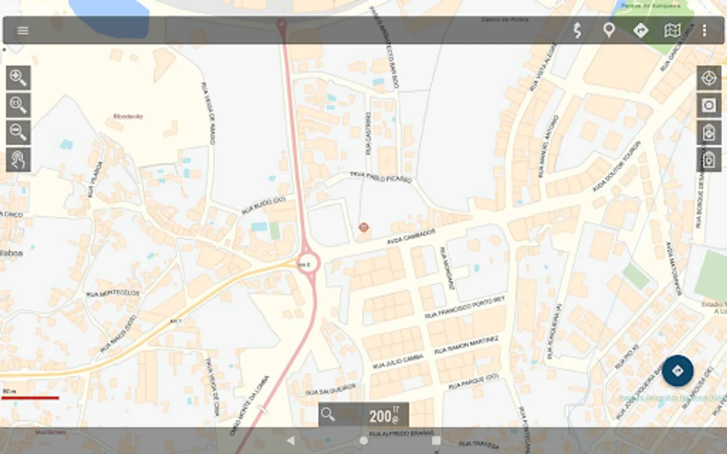
Mapas de España Screenshots
Tap to Rate:
Reviews for Mapas de España
Manuel ML
12/2/2025
Cada nueva versión es una delicia. Muchas gracias a todo el equipo, sé todo el esfuerzo que conlleva. 👍
Nada Machkova
10/31/2024
This is very useful application for DANA 2024 accessibility mapping and decision making. Hope all local police members use it to map, share and publish current situation at Valencia. After that IGN may compile hourly map and publish it for everybody ♻️⏳💫🍀 Está aplicación podría ayudar ahora en Valencia que fue impactada con DANA2024 ! NOW you may create a lot of maps Not only disaster mapping e.g. where and how to distribute drinking water, electricity recovery, mobile network coverage...