GeoSapiens IGN
Centro Nacional de Información Geográfica - CNIG
10,000+
downloads
Free
AppRecs review analysis
AppRecs rating . Trustworthiness 55 out of 100. Review manipulation risk 44 out of 100. Based on a review sample analyzed.
★
AppRecs Rating
Ratings breakdown
5 star
100%
4 star
0%
3 star
0%
2 star
0%
1 star
0%
What to know
⚠
Questionable review patterns
44% review manipulation risk - some review patterns appear unusual
⚠
Unusually uniform ratings
100% of sampled ratings are 5 stars with very little variation
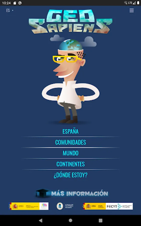
About GeoSapiens IGN
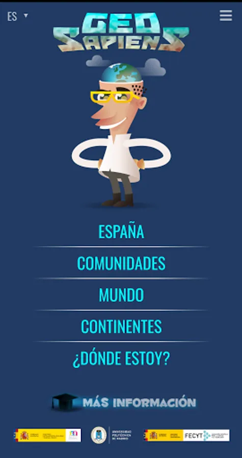
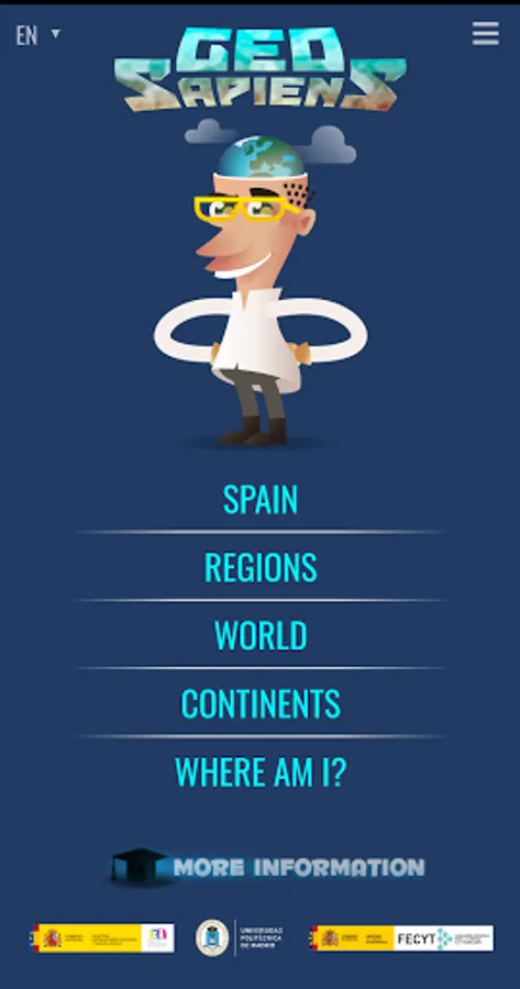
GeoSapiens is a free and open-source interactive map application for studying the physical and political geography of Spain and the world.
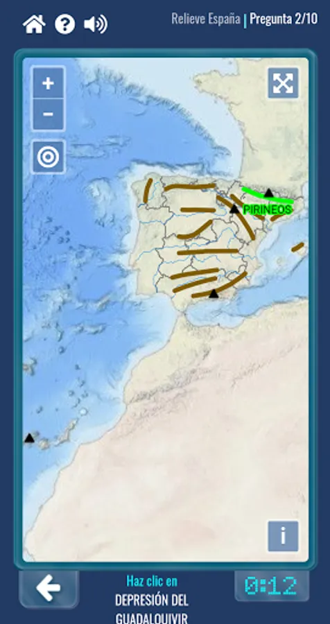
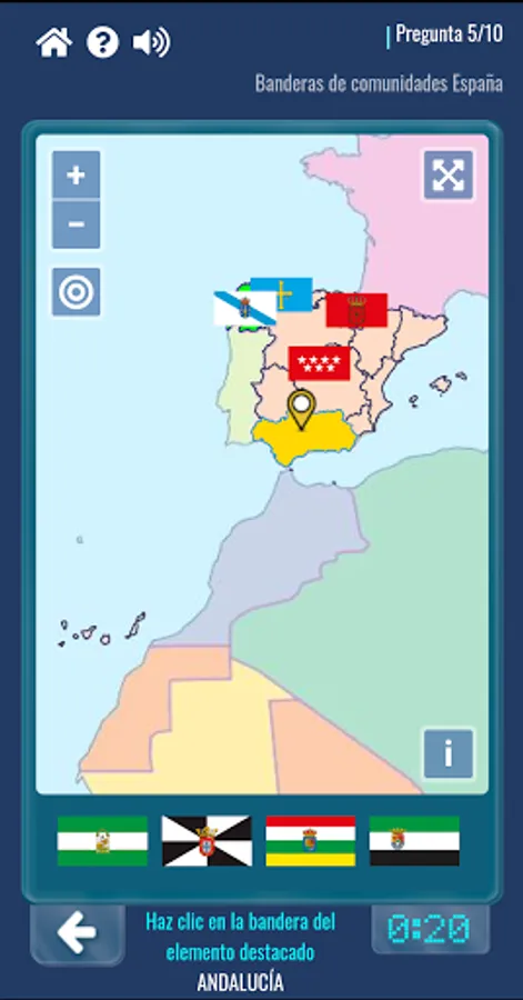
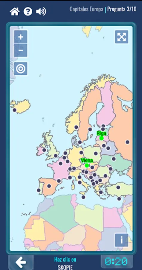
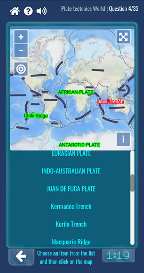
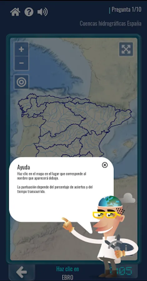
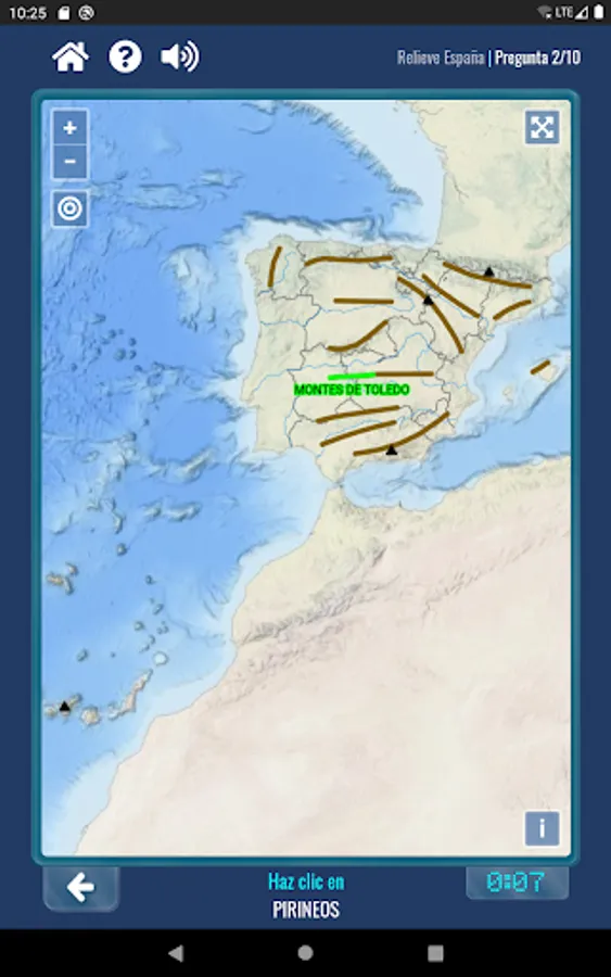
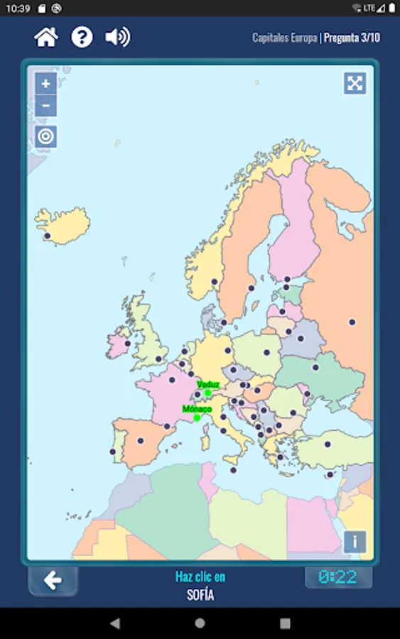
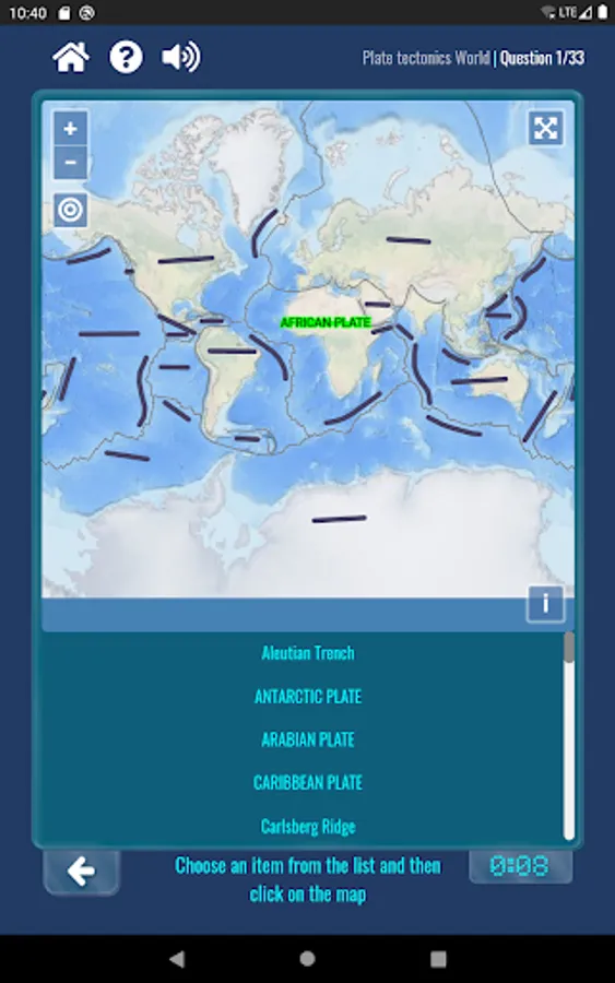
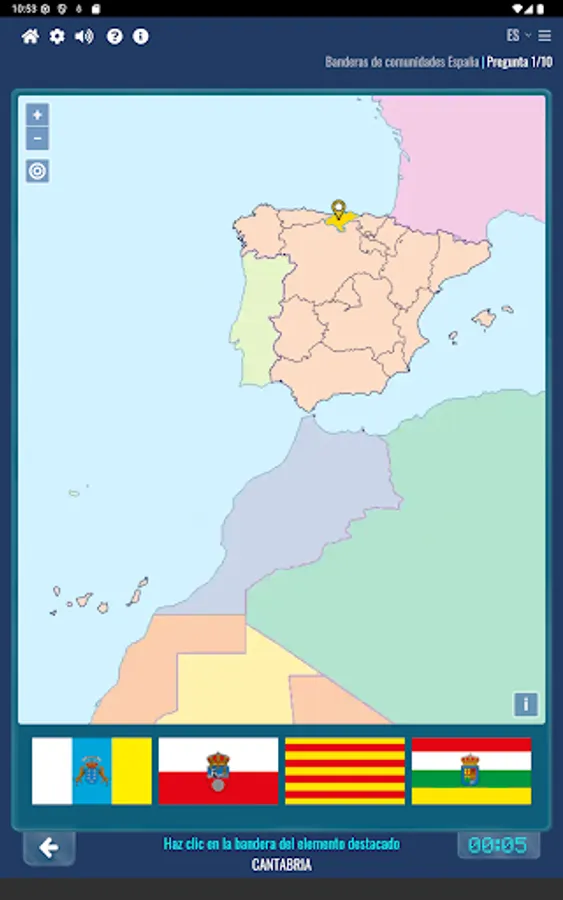
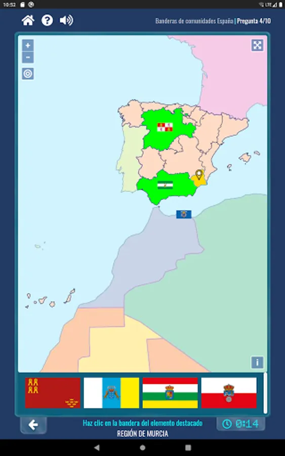
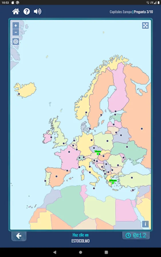
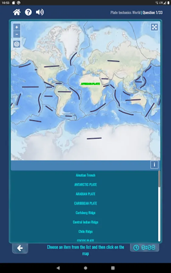
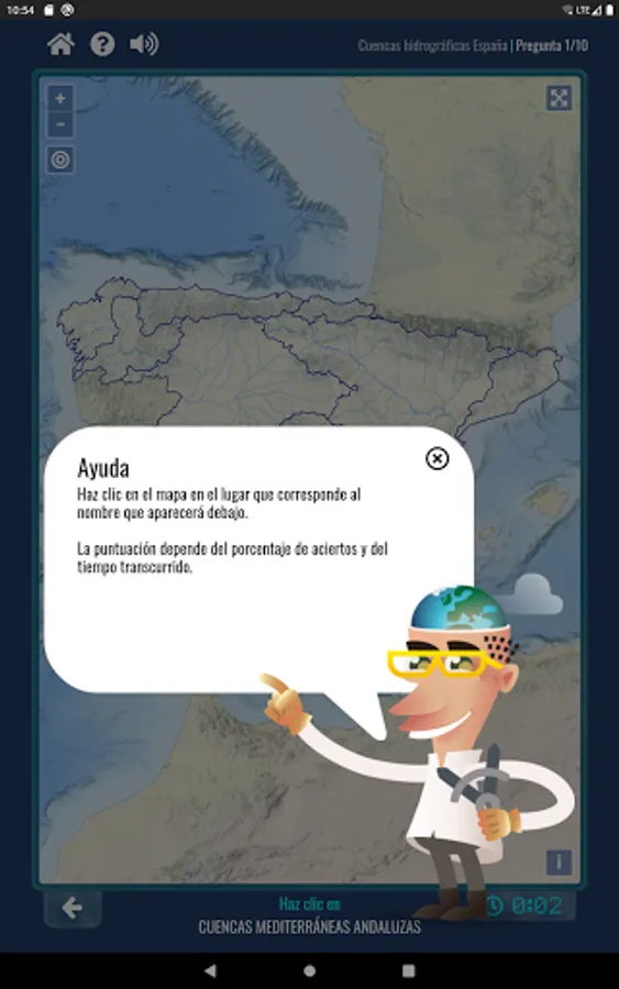
It consists of different games grouped by geographic area (Spain, autonomous communities, the entire world, or by continent) to test your knowledge of the landscape, relief, rivers, coastal features, flags, lithospheric plates, countries and capitals, and more.
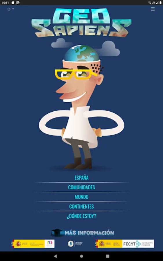
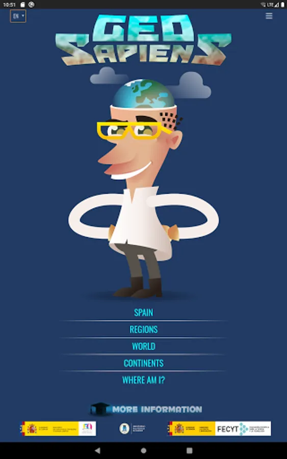
Once you've chosen the geographic area and the game, you can select the game mode:
- "Show," to study and review.
- "Drag outline" (available in some games), to place the shape in its location.
- "Locate random," to play only with random geographic features. In many games, you can select the difficulty level.
- "Locate all," to play with all geographic features.
- "Test," to choose one from the proposed answers. In many games, you can also select the difficulty level.
- "Customize," to configure the game by choosing only a few elements.
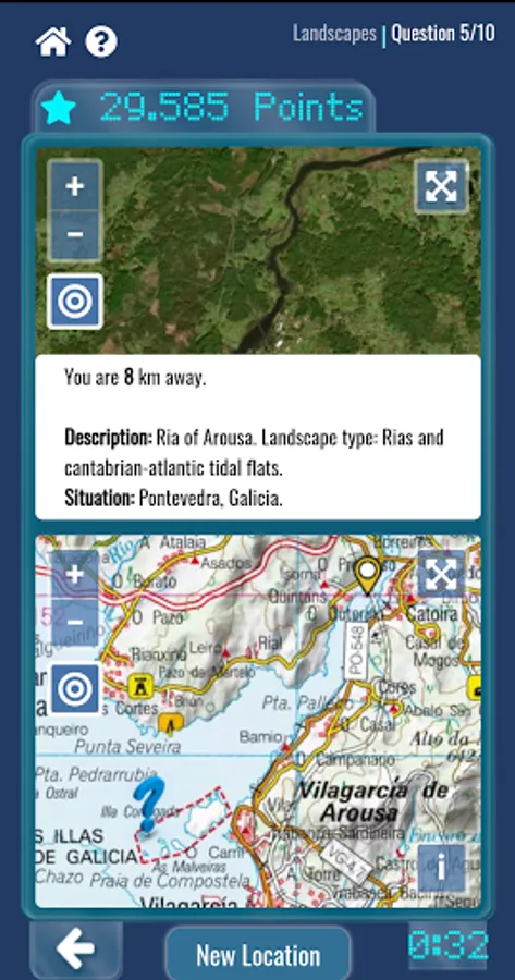
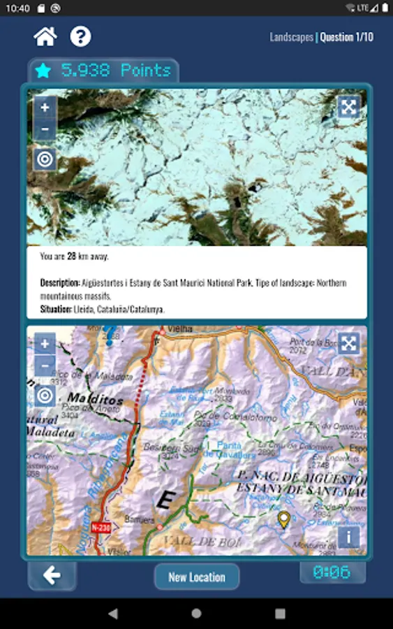
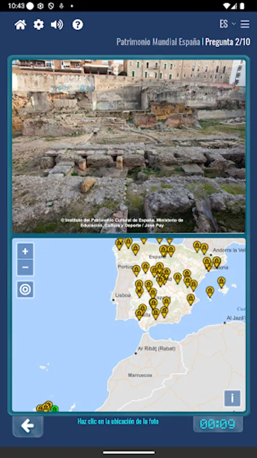
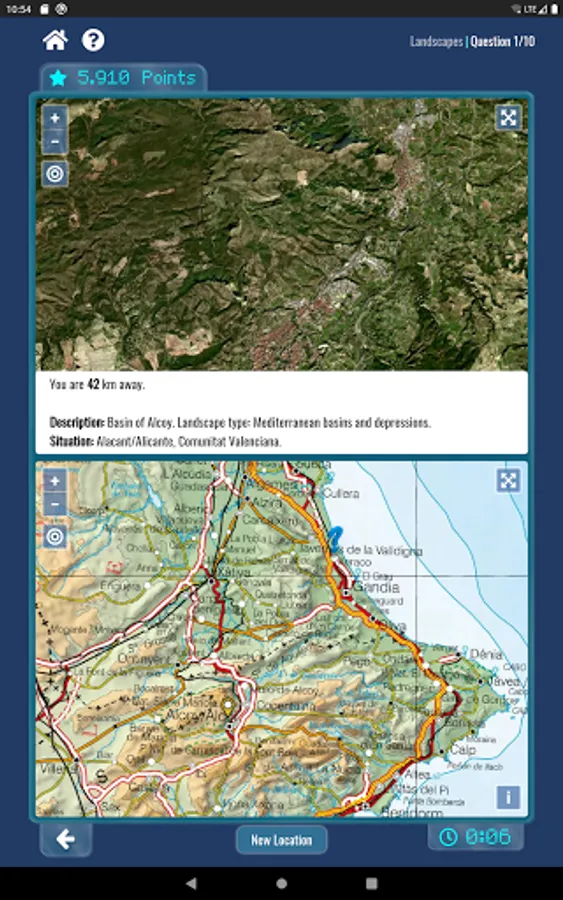
It also includes the "Where Am I?" module with games about "national parks," "landscapes," or "world heritage," in which you have to identify the place from an image, and the "land change analysis" game based on two aerial images (one old and one new).
GeoSapiens is fun, challenging, and easy to use, and doesn't require an internet connection (with the exception of the four "Where Am I?" games: "national parks," "landscapes," "world heritage," and "land change," which require an internet connection).
The app is bilingual in Spanish and English. It includes reinforcement sounds and an avatar, which can be turned on and off. The font size can also be configured.
GeoSapiens is an educational resource from the National Geographic Institute (IGN) and the National Geographic Information Center (CNIG), developed in collaboration with the School of Topography, Geodesy, and Cartography of the Polytechnic University of Madrid (UPM) and with the support of the Spanish Foundation for Science and Technology (FECYT).
The photographs of the "national parks" and "landscapes" games were obtained in collaboration with the CENEAM Photo Library of the Ministry for Ecological Transition and the Demographic Challenge. The images of the "world heritage" game were obtained from the UNESCO website.
Official Publications Identification Number (NIPO): 798-20-059-1
It consists of different games grouped by geographic area (Spain, autonomous communities, the entire world, or by continent) to test your knowledge of the landscape, relief, rivers, coastal features, flags, lithospheric plates, countries and capitals, and more.
Once you've chosen the geographic area and the game, you can select the game mode:
- "Show," to study and review.
- "Drag outline" (available in some games), to place the shape in its location.
- "Locate random," to play only with random geographic features. In many games, you can select the difficulty level.
- "Locate all," to play with all geographic features.
- "Test," to choose one from the proposed answers. In many games, you can also select the difficulty level.
- "Customize," to configure the game by choosing only a few elements.
It also includes the "Where Am I?" module with games about "national parks," "landscapes," or "world heritage," in which you have to identify the place from an image, and the "land change analysis" game based on two aerial images (one old and one new).
GeoSapiens is fun, challenging, and easy to use, and doesn't require an internet connection (with the exception of the four "Where Am I?" games: "national parks," "landscapes," "world heritage," and "land change," which require an internet connection).
The app is bilingual in Spanish and English. It includes reinforcement sounds and an avatar, which can be turned on and off. The font size can also be configured.
GeoSapiens is an educational resource from the National Geographic Institute (IGN) and the National Geographic Information Center (CNIG), developed in collaboration with the School of Topography, Geodesy, and Cartography of the Polytechnic University of Madrid (UPM) and with the support of the Spanish Foundation for Science and Technology (FECYT).
The photographs of the "national parks" and "landscapes" games were obtained in collaboration with the CENEAM Photo Library of the Ministry for Ecological Transition and the Demographic Challenge. The images of the "world heritage" game were obtained from the UNESCO website.
Official Publications Identification Number (NIPO): 798-20-059-1
GeoSapiens IGN Screenshots


Tap to Rate:
Reviews for GeoSapiens IGN
Gabriel Rosellon
5/1/2021
Genial aplicación
Hiozonda Jhap
2/10/2021
Good app to learn geography fast!