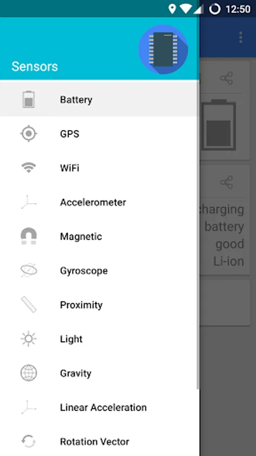
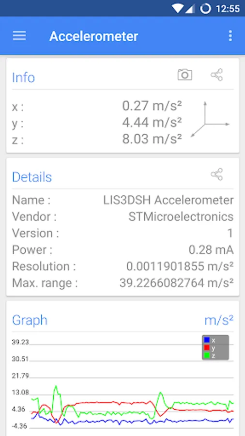
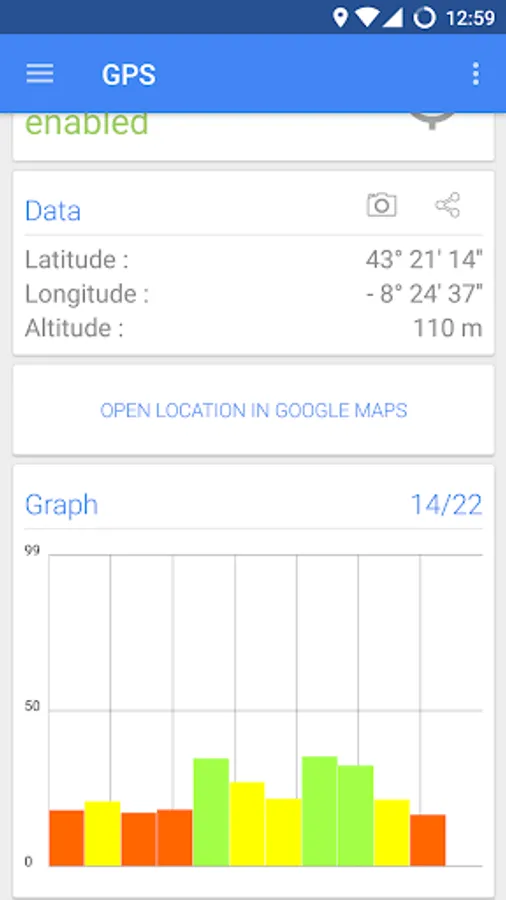
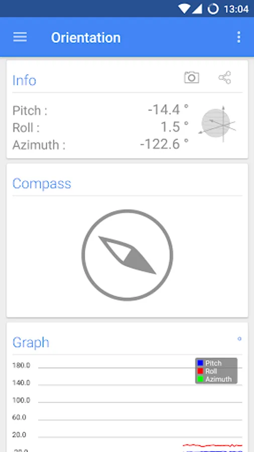
With this app, you can monitor various smartphone sensors in real time and view sensor data through graphical interfaces. Includes support for GPS, WiFi networks, altimeter, metal detector, and compass features.
AppRecs review analysis
AppRecs rating 4.0. Trustworthiness 82 out of 100. Review manipulation risk 23 out of 100. Based on a review sample analyzed.
★★★★☆
4.0
AppRecs Rating
Ratings breakdown
5 star
65%
4 star
13%
3 star
9%
2 star
3%
1 star
10%
What to know
✓
Low review manipulation risk
23% review manipulation risk
✓
Credible reviews
82% trustworthiness score from analyzed reviews
⚠
Ad complaints
Many low ratings mention excessive ads
About Sensors Multitool
Sensors Multitool: the ultimate tool for monitor all the sensors of your smartphone.
Information about all sensors supported by your phone
Support for show information of WIFI networks and GPS
All data accompanied by graphics in real time
Collect on a single application: altimeter, metal detector, compass ...
It has Support for all Android sensors providing the information in real time.
Sensors multitool monitors WIFI showing all data from the network which you are connected, intensity, and information about your Smartphone in the network.
It also provides information about your gps, uyou could see your geographical position, the altitude at which you are, and the status of the satellites.
Everything is provided through a clean and simple interface. Showing Intuitive Graphs that let you view the data collected by the sensors.