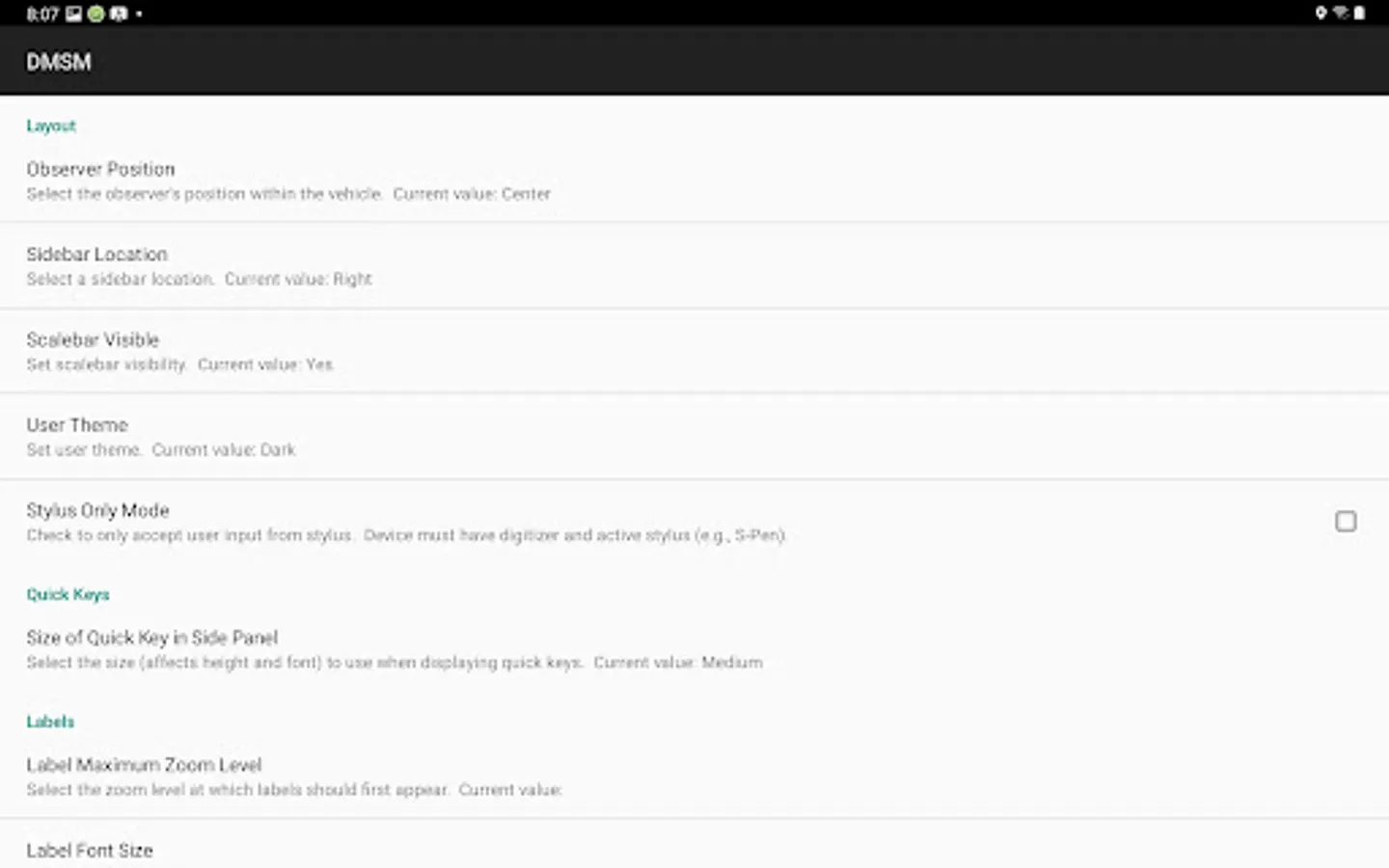
About Digital Mobile Sketch Map
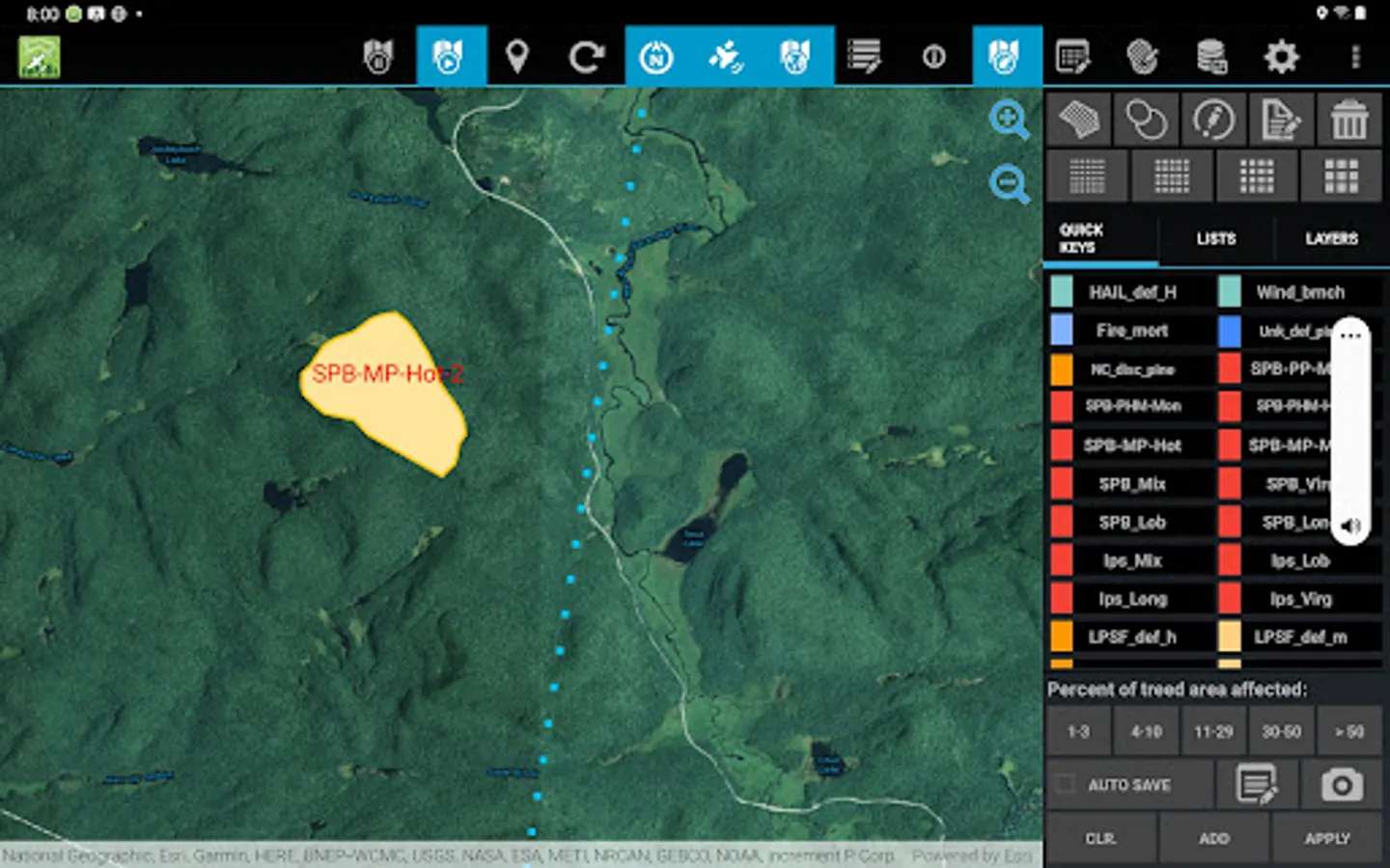
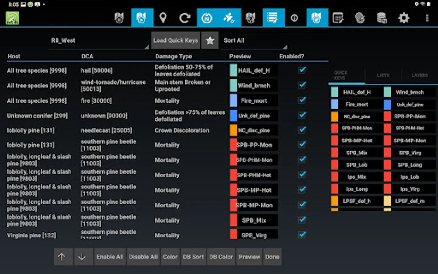
DMSM is a tablet app that allows trained aerial surveyors, in light aircraft, and ground observers to record forest disturbances and their causal agents. DMSM replaces the legacy Digital Aerial Sketch Mapping (DASM) and will greatly enhance the quality and quantity of forest health data while improving safety by leveraging remote sensing to monitor disturbances. It utilizes an ArcGIS Feature Service to store field collected data. Data can be edited using the associated DMSM Desktop Tools (DTT) ArcGIS Pro Add-in.