With this altitude measurement app, you can track your current elevation and view altitude changes over time using GPS and barometric sensors. Includes altitude graphs, system dark theme, and sensor data integration.
AppRecs review analysis
AppRecs rating 4.0. Trustworthiness 50 out of 100. Review manipulation risk 20 out of 100. Based on a review sample analyzed.
★★★★☆
4.0
AppRecs Rating
Ratings breakdown
5 star
0%
4 star
100%
3 star
0%
2 star
0%
1 star
0%
What to know
✓
High user satisfaction
100% of sampled ratings are 4+ stars (4.0★ average)
✓
Authentic reviews
No red flags detected
About Max Altimeter
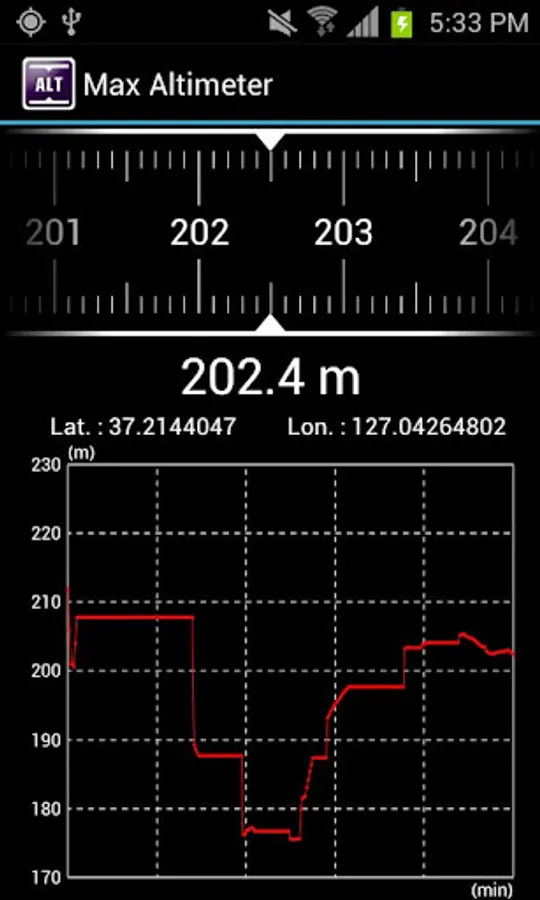
Max Altimeter is a reliable altitude measurement application that uses both GPS location data and barometric sensor readings to display altitude information. Whether you're hiking, traveling, or exploring, Max Altimeter provides clear altitude readings and visual data.
Key Features
1. Displays the current altitude.
2. Shows altitude changes over the past 5 minutes on a graph.
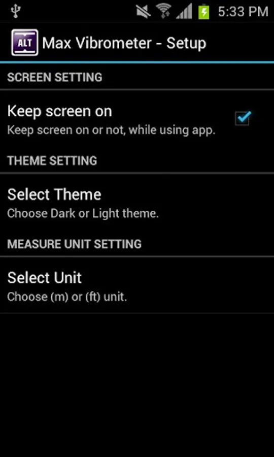
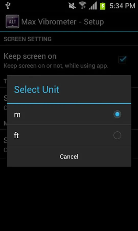
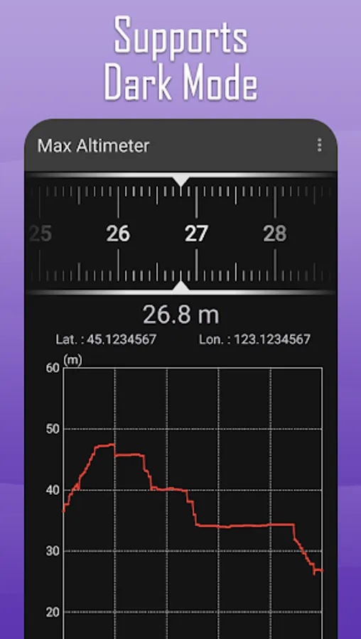
3. Allows you to select the system dark theme.
How to Use
1. Enable the location feature.
2. Check the displayed measurements on the screen.
3. Uses the pressure sensor when altitude data is unavailable from location information.
Key Features
1. Displays the current altitude.
2. Shows altitude changes over the past 5 minutes on a graph.
3. Allows you to select the system dark theme.
How to Use
1. Enable the location feature.
2. Check the displayed measurements on the screen.
3. Uses the pressure sensor when altitude data is unavailable from location information.
Max Altimeter Screenshots
Tap to Rate:
Reviews for Max Altimeter
A Google user
4/8/2013
I like the elevation plotting feature, but I'm stand at sea level and it reads -37m!
A Google user
12/18/2012
Great application. Thanks.