Compass & Altimeter
PixelProse SARL
4.3 ★
121K ratings
5,000,000+
downloads
Free
+ in-app
AppRecs review analysis
AppRecs rating 3.8. Trustworthiness 79 out of 100. Review manipulation risk 29 out of 100. Based on a review sample analyzed.
★★★☆☆
3.8
AppRecs Rating
Ratings breakdown
5 star
72%
4 star
13%
3 star
2%
2 star
2%
1 star
10%
What to know
✓
Low review manipulation risk
29% review manipulation risk
✓
Credible reviews
79% trustworthiness score from analyzed reviews
⚠
Ad complaints
Many low ratings mention excessive ads
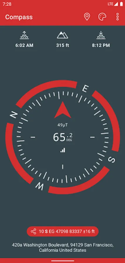
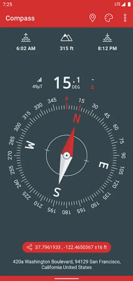
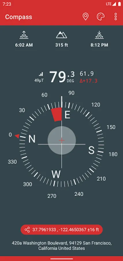
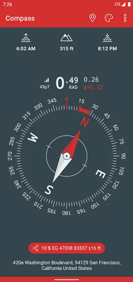
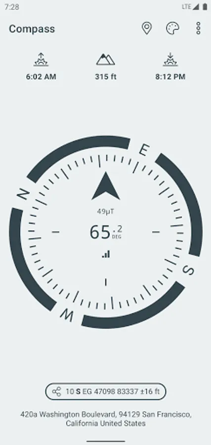
About Compass & Altimeter
A simple and easy to use Compass to retrieve useful information about your current position such as true Geographic north and true altitude above sea level.
• Works perfectly offline and without network access
• Geographic north using magnetic declination
• True altitude above mean sea level (AMSL)
• Sunrise & Sunset times
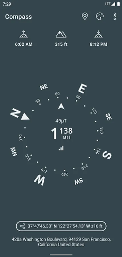
• Azimut angles in deg, grad, mrad, gon
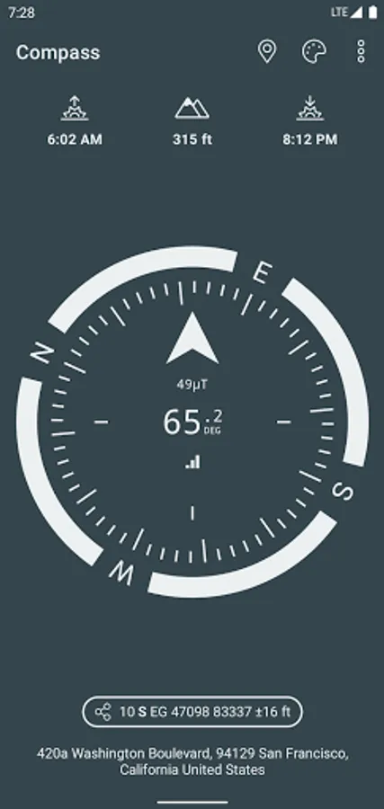
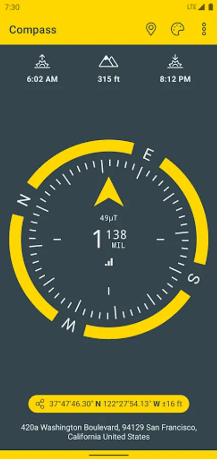
• Various dials and color themes (including high contrast)
• Angle measurement (with dials including measuring capabilities)
• Bubble Level functionnality (available in iPhone dial)
• Use EGM96 as the geoid reference for computing altitude
• Latitude & Longitude in MGRS, UTM coordinate formats
• Latitude & Longitude in DD, DMM or DMS format
• British National Grid (OSGB86) coordinate system
• SwissGrid (CH1903 / LV95 / MN95)
• Magnetic field strength to detect potential perturbations
• Sensor accuracy
• Address of your current location (requires data connectivity)
Compass better works outside where magnetic perturbations are low. Magnetic closure cell phone cases may also disrupt the accuracy of the compass.
EGM96 (Earth Gravitational Model) is used as the geoid reference to compute true altitude above sea level from data collected by the GPS sensor. UTM (Universal Transverse Mercator) is a system for assigning coordinates to locations on the surface of the Earth.
Have fun !
• Works perfectly offline and without network access
• Geographic north using magnetic declination
• True altitude above mean sea level (AMSL)
• Sunrise & Sunset times
• Azimut angles in deg, grad, mrad, gon
• Various dials and color themes (including high contrast)
• Angle measurement (with dials including measuring capabilities)
• Bubble Level functionnality (available in iPhone dial)
• Use EGM96 as the geoid reference for computing altitude
• Latitude & Longitude in MGRS, UTM coordinate formats
• Latitude & Longitude in DD, DMM or DMS format
• British National Grid (OSGB86) coordinate system
• SwissGrid (CH1903 / LV95 / MN95)
• Magnetic field strength to detect potential perturbations
• Sensor accuracy
• Address of your current location (requires data connectivity)
Compass better works outside where magnetic perturbations are low. Magnetic closure cell phone cases may also disrupt the accuracy of the compass.
EGM96 (Earth Gravitational Model) is used as the geoid reference to compute true altitude above sea level from data collected by the GPS sensor. UTM (Universal Transverse Mercator) is a system for assigning coordinates to locations on the surface of the Earth.
Have fun !
Compass & Altimeter Screenshots
Tap to Rate:
Reviews for Compass & Altimeter
Debora Bedne Izaguirre
12/28/2025
Me encanta pero para saber la altura debo salir, cerrar el app y luego abrirlo. otherwise esta buenisimo!!!
Mahmud BN
12/28/2025
Accurate