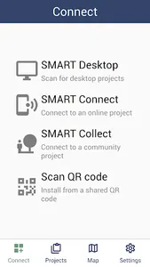
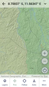
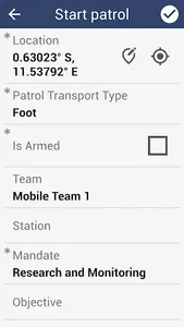
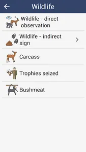
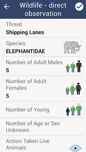
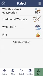
SMART (Spatial Monitoring and Reporting Tool) is designed to capture data in conservation protected areas. It includes full support for online and offline usage, including offline field maps.
To use this app, you must be a user of one or more of SMART.
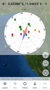
SMART Mobile captures GPS location and also requires background location usage for tracks. More information can be found at https://cybertrackerwiki.org/privacy-policy.
To use this app, you must be a user of one or more of SMART.
SMART Mobile captures GPS location and also requires background location usage for tracks. More information can be found at https://cybertrackerwiki.org/privacy-policy.
Show More