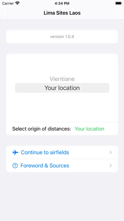
About Lima Sites Laos
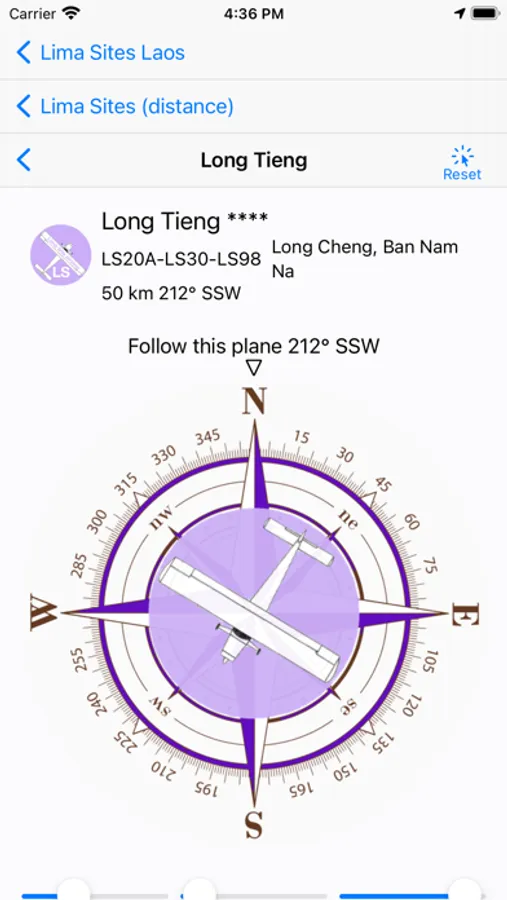
This app is about the beautiful mountains of Laos and off-road adventures. It is best to use it with Google Earth, Gaia GPS or laosgpsmap for navigation.
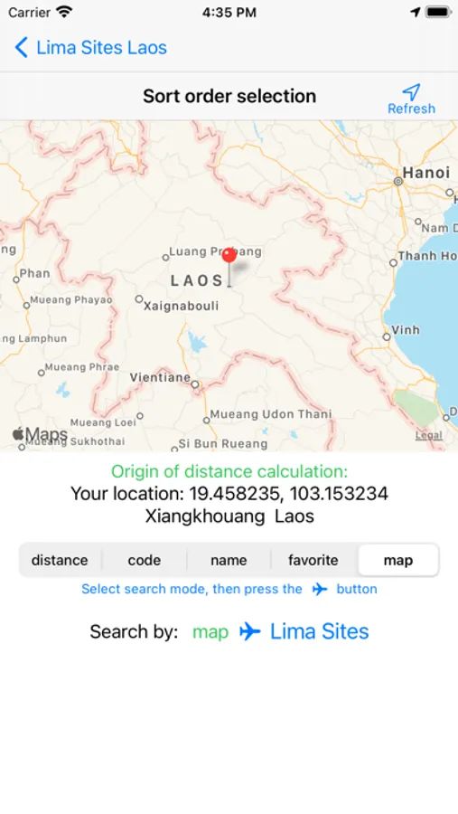
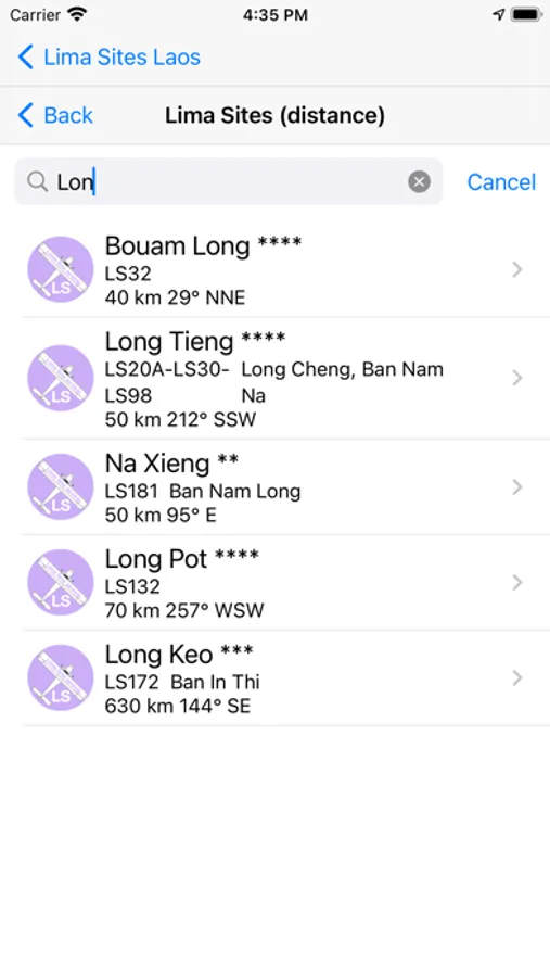
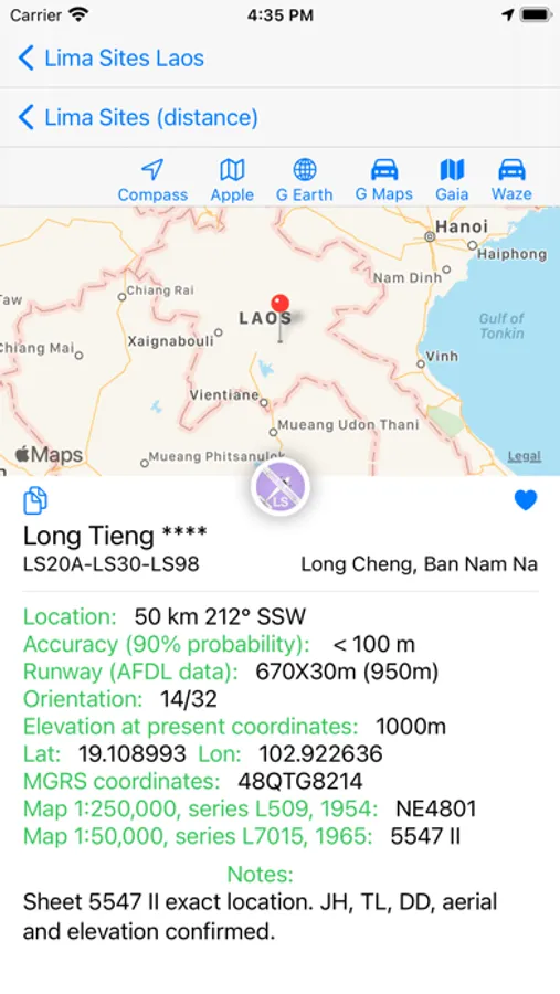
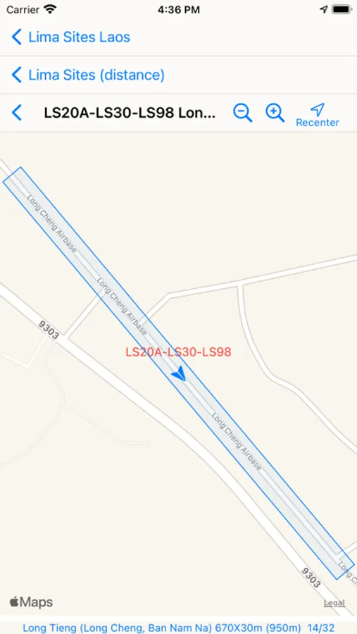
The Lima Sites were airfields to supply the US-allied Hmong people during the war. Since these people used to live at the top of mountains, the tracks to these places are always scenic and adventurous.
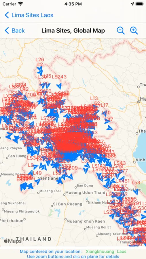
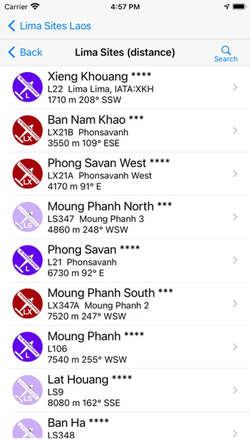
There was more than 500 airfields, mostly located on difficult terrain. To this day, we get a precise location (100 m) for a little more than 1/3 of them. We expect our users to help us to locate with precision the 2/3 were coordinates are less precise (3 km), and to enjoy the beautiful off-road Laos either in 4X4, motorbike, bicycle or hiking.
The Lima Sites were airfields to supply the US-allied Hmong people during the war. Since these people used to live at the top of mountains, the tracks to these places are always scenic and adventurous.
There was more than 500 airfields, mostly located on difficult terrain. To this day, we get a precise location (100 m) for a little more than 1/3 of them. We expect our users to help us to locate with precision the 2/3 were coordinates are less precise (3 km), and to enjoy the beautiful off-road Laos either in 4X4, motorbike, bicycle or hiking.
Lima Sites Laos Screenshots
Tap to Rate: