Washington Roads - Traffic and
Coderun Technologies Ltd
2.8 ★
store rating
1,000+
downloads
Free
AppRecs review analysis
AppRecs rating 2.3. Trustworthiness 62 out of 100. Review manipulation risk 32 out of 100. Based on a review sample analyzed.
★★☆☆☆
2.3
AppRecs Rating
Ratings breakdown
5 star
38%
4 star
0%
3 star
13%
2 star
0%
1 star
50%
What to know
⚠
Mixed user feedback
Average 2.8★ rating suggests room for improvement
About Washington Roads - Traffic and
Live traffic reports and cameras for Washington State including Seattle:
- Real time data from Washington State Department of Transportation.
- 1,400+ Traffic cameras covering Washington State.
- Reports of traffic incidents affecting travel (accidents, roadworks, maintenance, weather conditions, snow etc.)
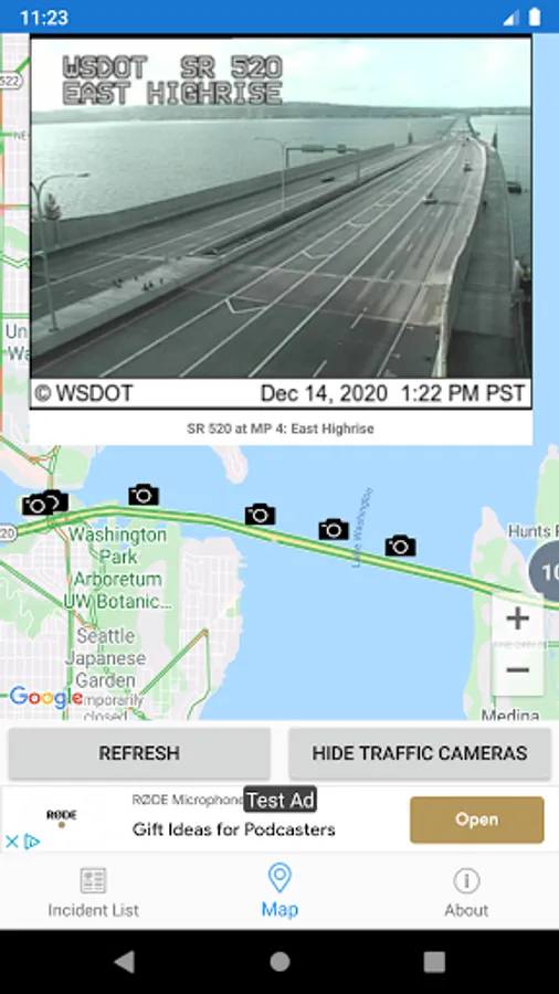
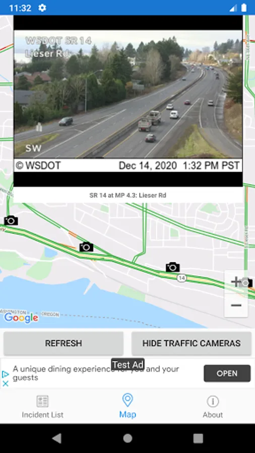
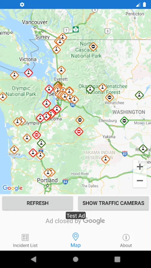
MAP VIEW
- Shows current incidents and traffic cams.
- Each incident is color coded as well as being represented by an icon showing the incident type.
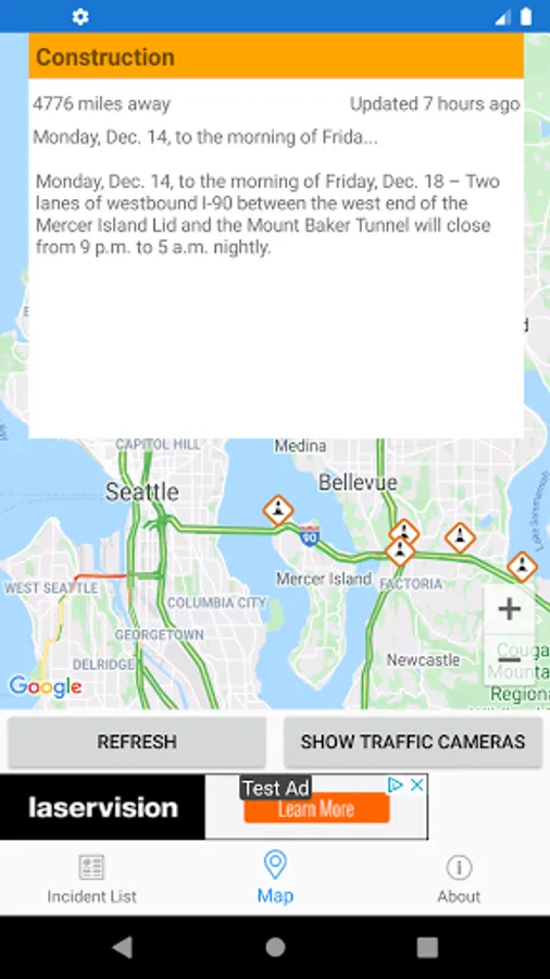
- Clicking on an incident displays more detail right there on the map.
- The map view can also show Texas traffic camera images.
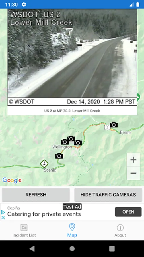
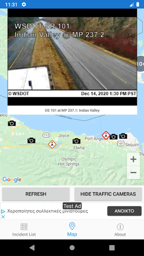
TRAFFIC CAMS
- Touch a camera icon on the map to view the most recent camera image.
- Toggle show/hide the cameras on the map.
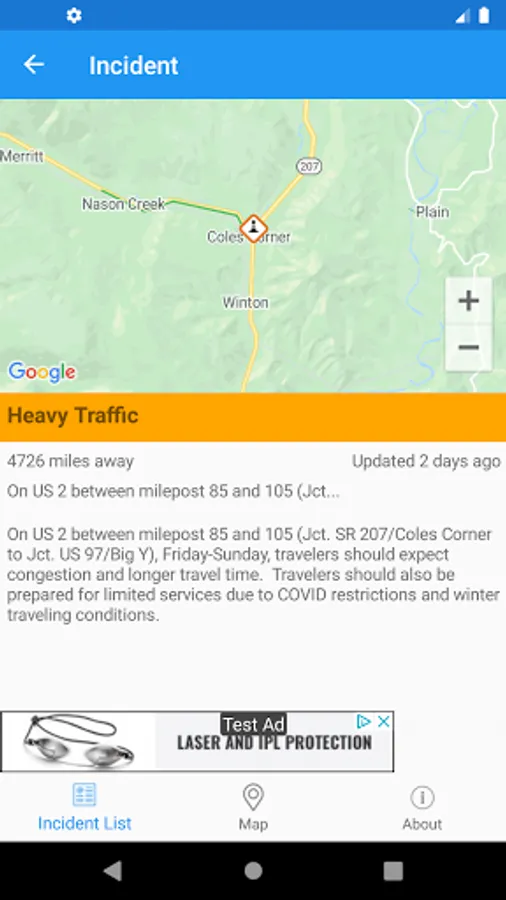
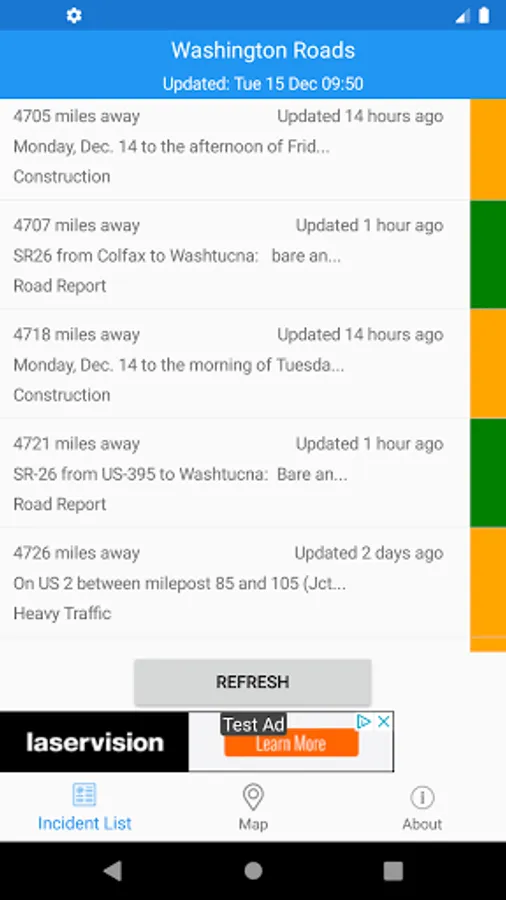
LIST VIEW
- Shows current incidents in order of distance from your current location (closest incidents are shown first).
- Each incident is color-coded to indicate the severity of the delay.
- You can quickly see the distance the incident is from you, the road name and the type of incident.
- The detail view shows the description together with a map showing the location.
Washington Traffic Data and Washington Traffic Cameras courtesy of Washington State Department of Transportation (WSDOT) 511 system.
Disclaimer: This app is not affiliated with Washington State Department of Transportation.
- Real time data from Washington State Department of Transportation.
- 1,400+ Traffic cameras covering Washington State.
- Reports of traffic incidents affecting travel (accidents, roadworks, maintenance, weather conditions, snow etc.)
MAP VIEW
- Shows current incidents and traffic cams.
- Each incident is color coded as well as being represented by an icon showing the incident type.
- Clicking on an incident displays more detail right there on the map.
- The map view can also show Texas traffic camera images.
TRAFFIC CAMS
- Touch a camera icon on the map to view the most recent camera image.
- Toggle show/hide the cameras on the map.
LIST VIEW
- Shows current incidents in order of distance from your current location (closest incidents are shown first).
- Each incident is color-coded to indicate the severity of the delay.
- You can quickly see the distance the incident is from you, the road name and the type of incident.
- The detail view shows the description together with a map showing the location.
Washington Traffic Data and Washington Traffic Cameras courtesy of Washington State Department of Transportation (WSDOT) 511 system.
Disclaimer: This app is not affiliated with Washington State Department of Transportation.