Move in OLB
Sinervices
Free
10+
downloads
About Move in OLB
Simple and intuitive information about routes to be taken, available workout spaces in the county and points of interest, always accessible in a simple and intuitive way.
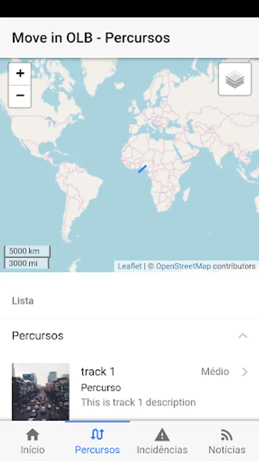
POI: Points of interest in the county
Trails: Route identification with distance to go, difficulty level (easy, moderate, difficult), route length, roundness, most appropriate use - pedestrian, bicycle or other - and rating
Outdoor Workout: Identifying Outdoor Gyms
Experience log: application utilization rating and return system
GPS: User Positioning
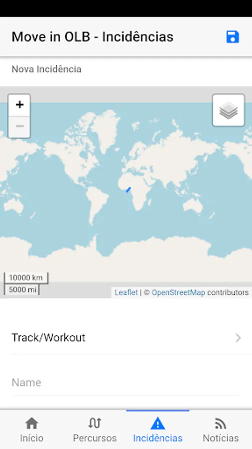
Reporting: Reporting of anomalous situations detected on the routes traveled or spaces visited / used.
Alerts: recommendations for rest, drinking water, landscape observation, emergency contacts, etc.
POI: Points of interest in the county
Trails: Route identification with distance to go, difficulty level (easy, moderate, difficult), route length, roundness, most appropriate use - pedestrian, bicycle or other - and rating
Outdoor Workout: Identifying Outdoor Gyms
Experience log: application utilization rating and return system
GPS: User Positioning
Reporting: Reporting of anomalous situations detected on the routes traveled or spaces visited / used.
Alerts: recommendations for rest, drinking water, landscape observation, emergency contacts, etc.