About Safety Compass
The Safety Compass ensures all workers in the organisation are alerted of the hazard as soon as they come physically close and new hazards are communicated to all as and when they are identified in real time.
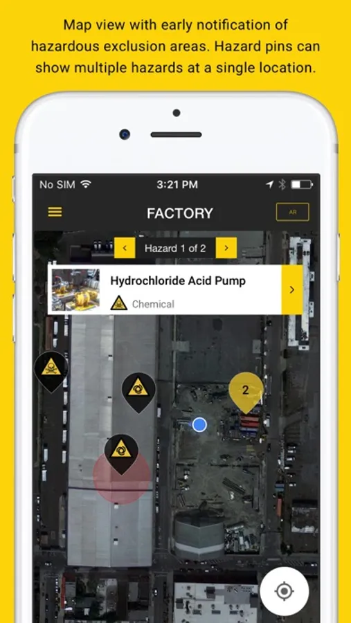
Workplace can be located in outdoor or indoor. Outdoor is location where application have access to GPS and can get the current geo-location of the device. In GPS site, hazards are marked with latitude and longitude.
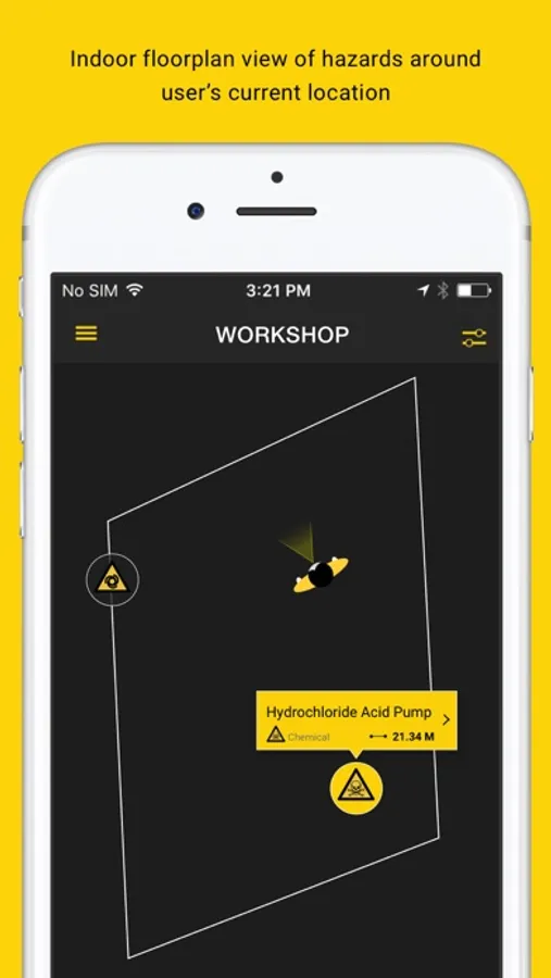
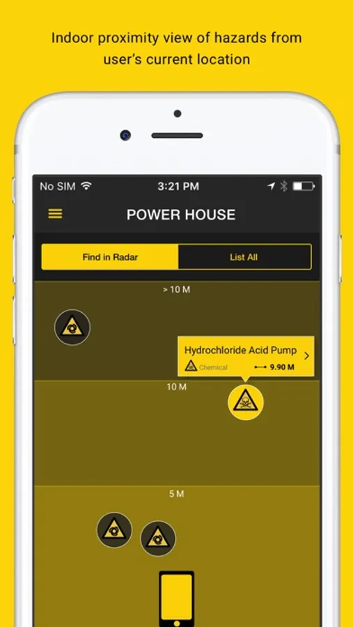
Places where there is no satellite coverage, application can't find the current location of the device. Estimote BLE Beacons enables the application to gain access to precise indoor (x,y) coordinates of the device.
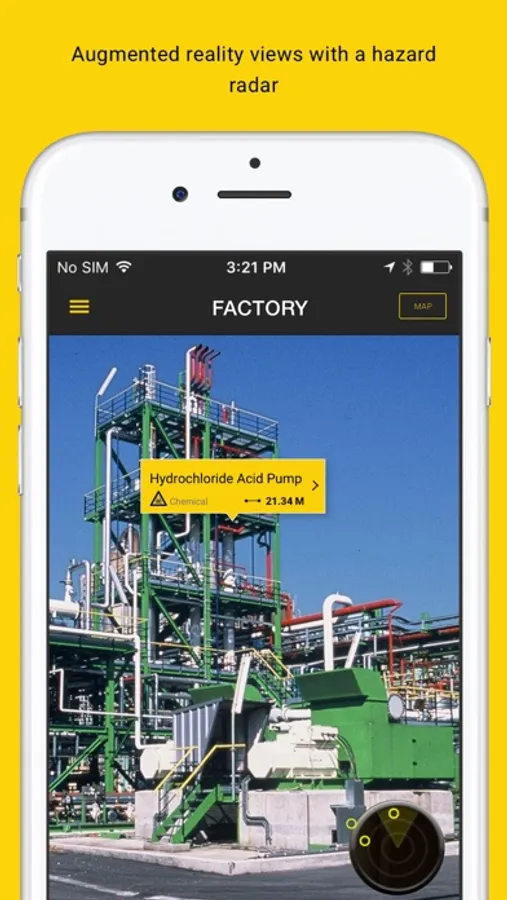
The Safety Compass uses intuitive augmented reality and interactive mapping to communicate hazard information to users in the field.
By accessing the worker's physical location, the app presents vital information on present dangers straight to the worker's phone, avoiding the necessity of bulky safety manuals to locate and manage risk.
Safety compass app allows the user to get notified of the hazards even with poor phone reception.
Using the phone's inbuilt camera and GPS system or Estimote
Indoor floorplan, the app displays real and present dangers to the viewer that adapt and compensate for the viewer's field of vision.
User friendly information enhances existing risk assessment practices. The system is fast, efficient and caters for a range of viewer circumstances – overcoming the challenges of reading large volumes of complicated text in dark, shifting, loud or crowded environments.
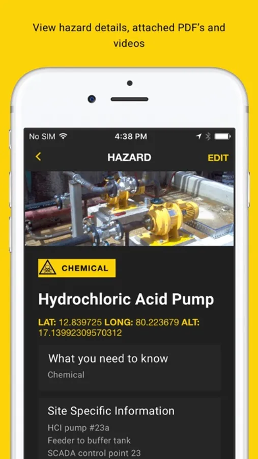
Information usually stored in expansive manuals in site offices follows the viewer wherever they go, slashing the time and effort necessary to assess dangers in the workplace. Workers are able to easily access critical workplace safety information through detailed text, hyperlinks, pdf files and videos.
While the app is particularly suited to high risk sites, employees can tailor The Safety Compass to any workplace through a user friendly admin function.
Updates to the admin function can also allow for real time risk communication to field users - a hazard tag can be added within minutes, making new risks live for workers to view.
Please note: Continued use of GPS running in the background can dramatically decrease battery life.
