About GeoRecorder
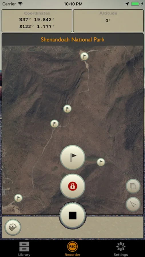
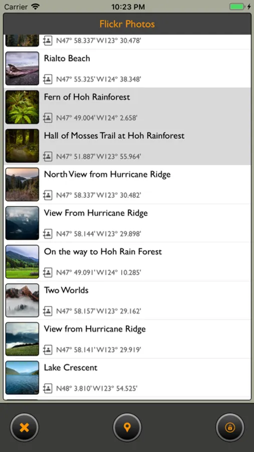
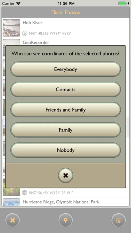
GeoRecorder was created with landscape photography in mind, as a tool to record tracks, mark scenic places, and scout new locations. It is also a great help in geotagging captured photographs on Flickr or in other applications using exported GPX files.
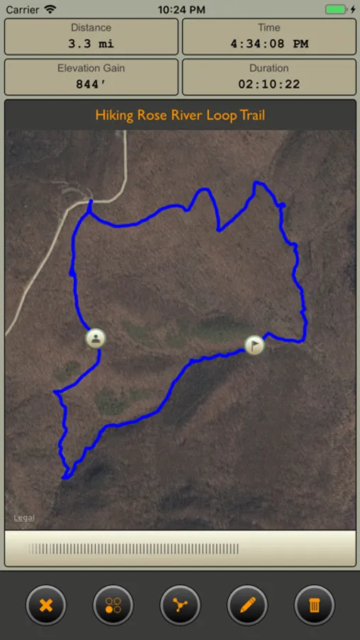
But GeoRecorder is not limited to photography: it is great app to record travel memories and keep a journal of your adventures. With the help of interactive time bar, you can "walk" again through any of your adventures and see covered distance, gained elevation, and travel time. If you like sharing your adventures with others, GeoRecorder gives you an ability to plot tracks on a map and save the resulting image in Album or send it to other applications or your favorite social networks.
For those who travel in wilderness with no network coverage GeoRecorder provides ability to generate offline maps: satellite images that do not require Internet connectivity.
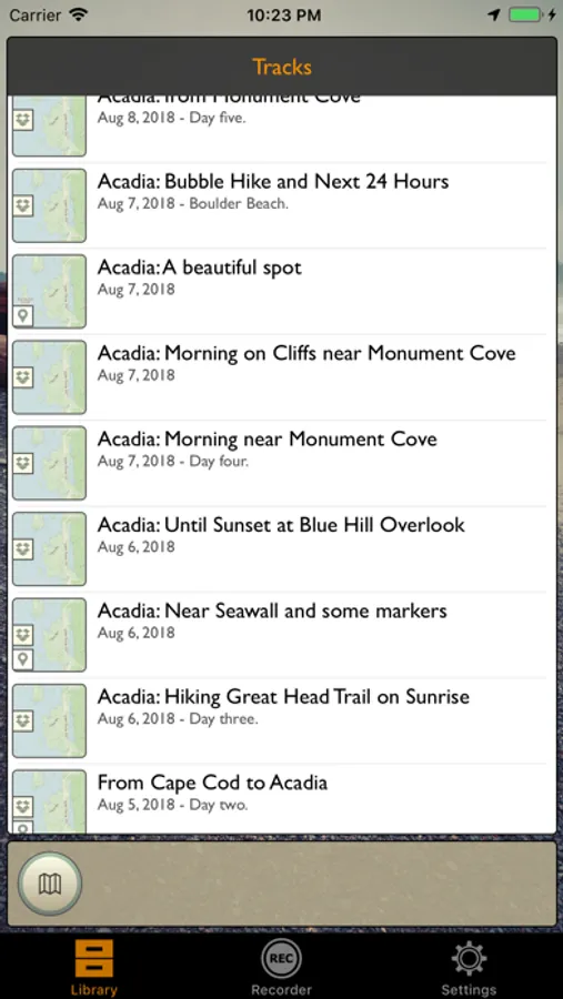
If you have a handheld GPS receiver, then GeoRecorder will become a perfect app to organize and store logs from the device: simply download them from the receiver and import to GeoRecorder via AirDrop, Mail or iCloud Files.
Please be aware that GeoRecorder uses the GPS hardware, which will be discharging the battery of you device faster than usual. To reduce this effect the application automatically stops recording tracks when battery level is low.
