About Port to Pub
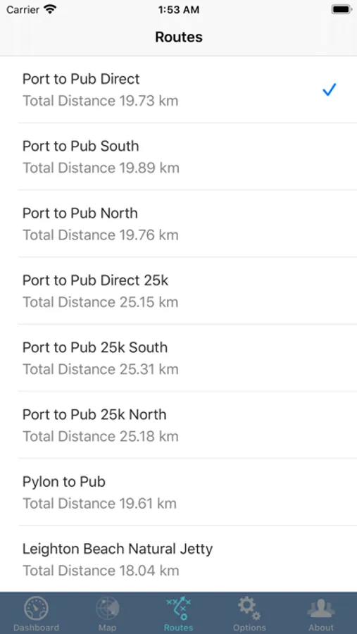
Port to Pub is tracking app for friends and family of swimmers taking part in the annual 20km Port to Pub Swim between the Leighton Beach and the Pub on Rottnest island, so that they can track the progress of their swimmers.
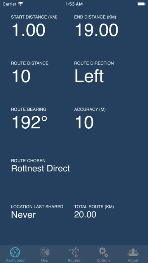
The app can be used by the crew on a swimmer's support boat to track their current location and distance from the start and finish.
Port to Pub makes use your device's GPS in foreground and background in order to track your location.
You can disable the apps use of the GPS by changing the Location Services setting to "Never" via Settings → MapSwim → Location.
Please Note: "Continued use of GPS running in the background can dramatically decrease battery life."
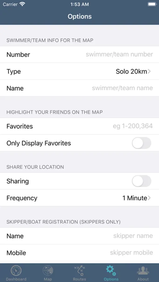
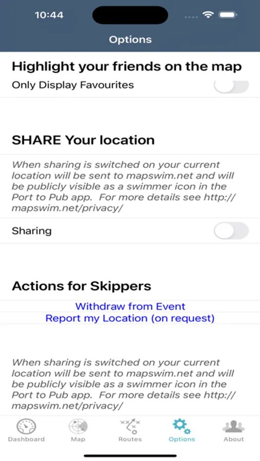
The location captured by Port to Pub can be shared with other users of the app, and with viewers of the mapswim.com web page, via switching on sharing.
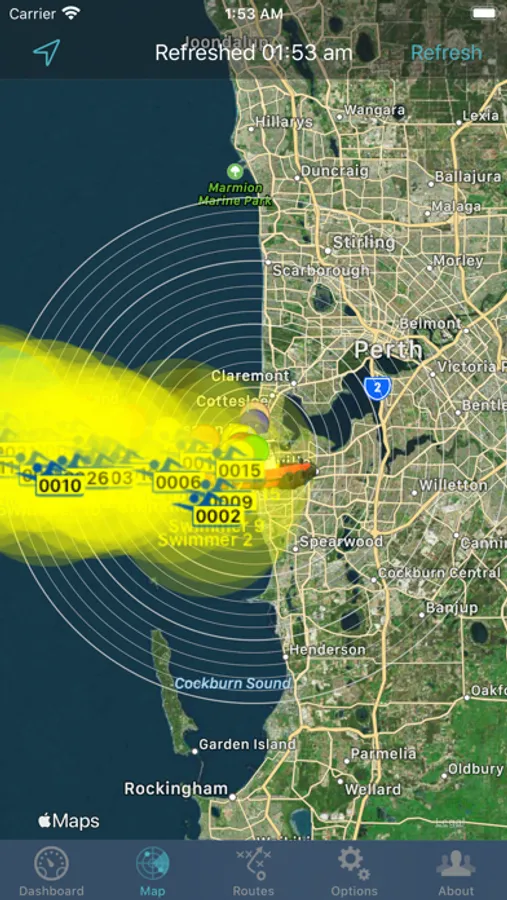
The location of other swimmers can be viewed on a map which shows the current position of other swimmers, colour coded by their team category.
