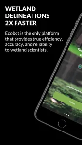
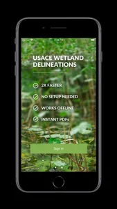
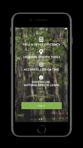
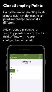
Ecobot is the only cloud-based platform that provides true efficiency, accuracy, and reliability to wetland scientists. Complete US Army Corps of Engineers wetland delineations 2X as fast.
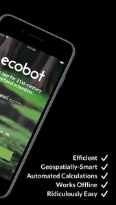
Efficient. Geospatially-smart. Automated Calculations. Works offline. Ridiculously easy to use.
Environmental consultants are plagued by busy work as they make decisions that inform land use. Ecobot eliminates complexity and enables greater scientific accuracy. Unlike paper field notes, desktop software or other apps, Ecobot helps our customers spend more time being scientists, and the companies they work for be more profitable.
Key features include:
- Works 100% offline - internet required only to sign-in; to send data to the cloud
- Collaborate with project managers on a web-based project dashboard
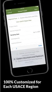
- Projects customized by USACE region
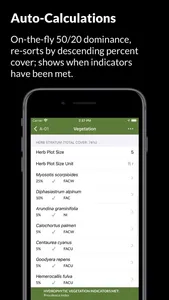
- Automated vegetation 50/20 dominance calculations
- Automated vegetation worksheet calculations
- Auto-sorts vegetation by % cover
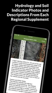
- Built-in hydrology and Soil indicator reference text and imagery
- Instant cloud-based USACE PDF generation
- Amazon AWS Cloud for security, speed, and stability
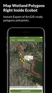
- Esri integration; Create wetland polygons inside of Ecobot
Ecobot customers can sign in, view reference information, enter data, run calculations, and connect to the Ecobot cloud services to generate USACE PDF reports.
Ecobot is an Esri Silver Partner.
Show More
