AppRecs review analysis
AppRecs rating 3.7. Trustworthiness 0 out of 100. Review manipulation risk 0 out of 100. Based on a review sample analyzed.
★★★☆☆
3.7
AppRecs Rating
Ratings breakdown
5 star
20%
4 star
0%
3 star
20%
2 star
40%
1 star
20%
About Wildnote
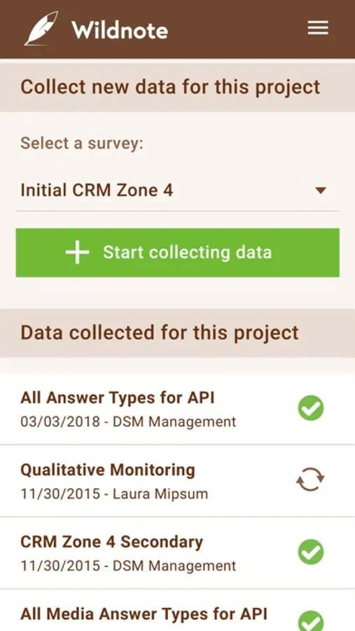
Wildnote is The Environmental Consulting Platform for customizable cloud-based data collection, management, and reporting. It has pre-built forms and reports for a broad spectrum of environmental consulting disciplines, yet can be customized to support complex workflow, reporting, and branding needs.
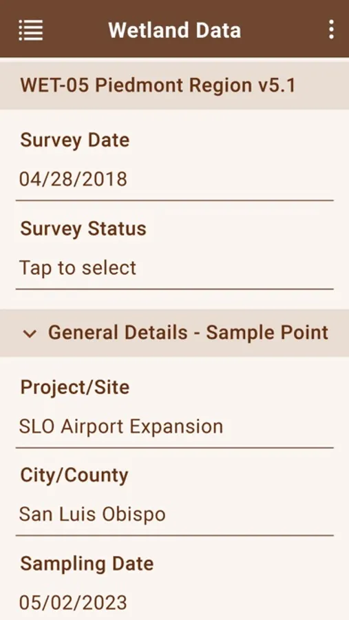
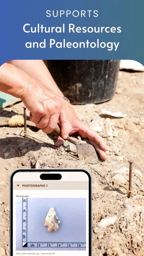
Established workflows for USACE Wetland Delineations, SWPPP, Construction Compliance, Cultural Resources, Paleontology, Endangered Species Monitoring, Mitigation Banking and Restoration and more.
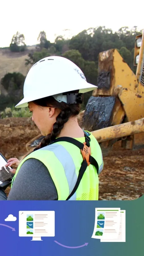
From mobile data collection and photo management, to frustration-free reporting, Wildnote automates your processes while improving your project efficiency by 40-80% allowing you to deliver faster, more accurate regulatory-compliant reports with project transparency.
Key Mobile App Features:
-Works Offline
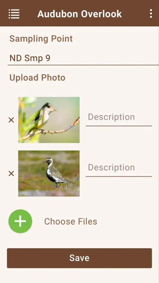
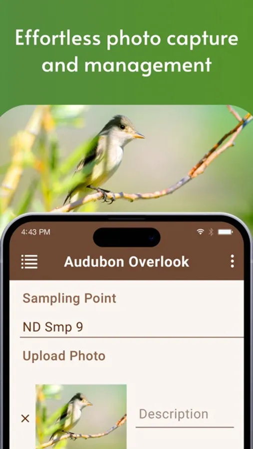
-Integrated Photo Management
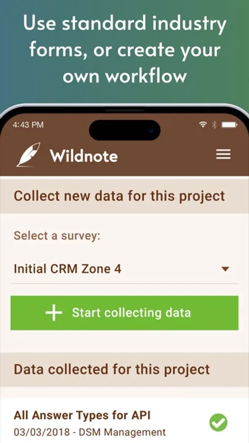
-Extensive form library, or build your own forms for your project needs
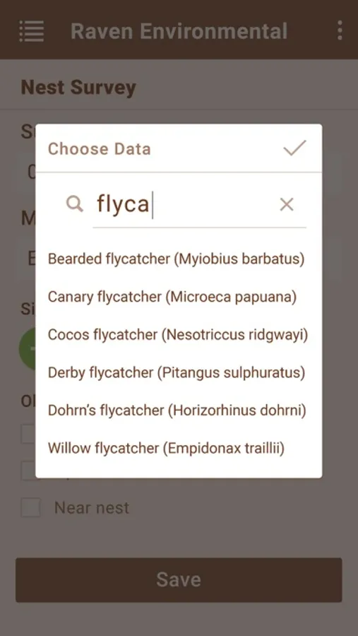
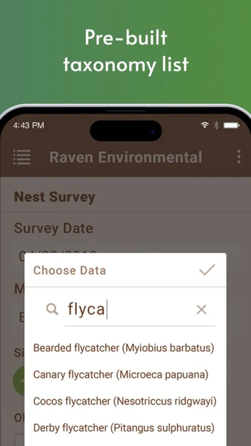
-Built-in taxonomy with scientific name, common name and indicator status with taxonomy favorites
-Built-in Munsell soil colors
-Upload associated project documents and reference materials
-Works with Trimble R-1, Trimble Catalyst, EOS Arrow, Bad Elf Pro, Juniper Geode
Regulatory Data Collection for:
-All 10 USACE Wetland Regions with built-in calculations
-Ordinary Highwater Mark (Arid West and Interim)
-California Rapid Assessment Method
-Cultural Resources SHPO Solutions for California, Nevada and Utah with flexibility for all states.
