About Mapas de Cantabria
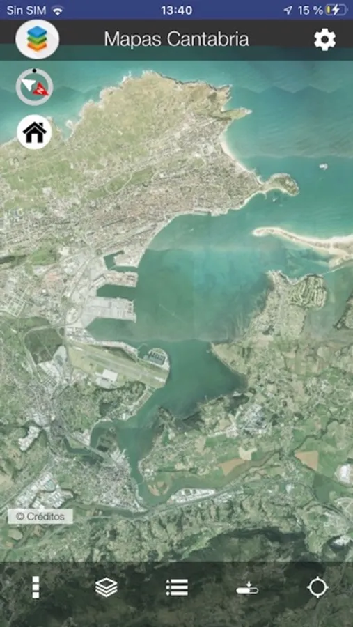
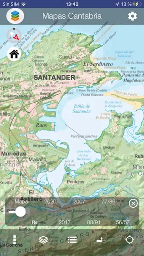
The Mapas Cantabria app for phones and tablets makes navigating the cartography of Gobierno de Cantabria faster and easier than ever:
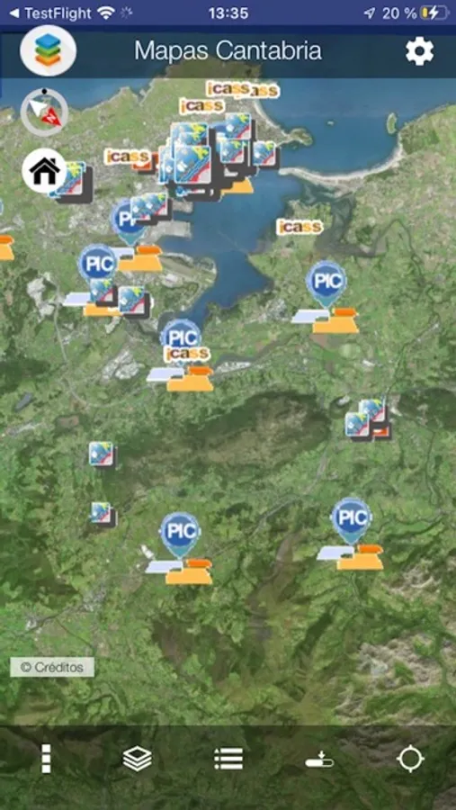
• Comprehensive, accurate and highly detailed maps all over Cantabria (north of Spain).
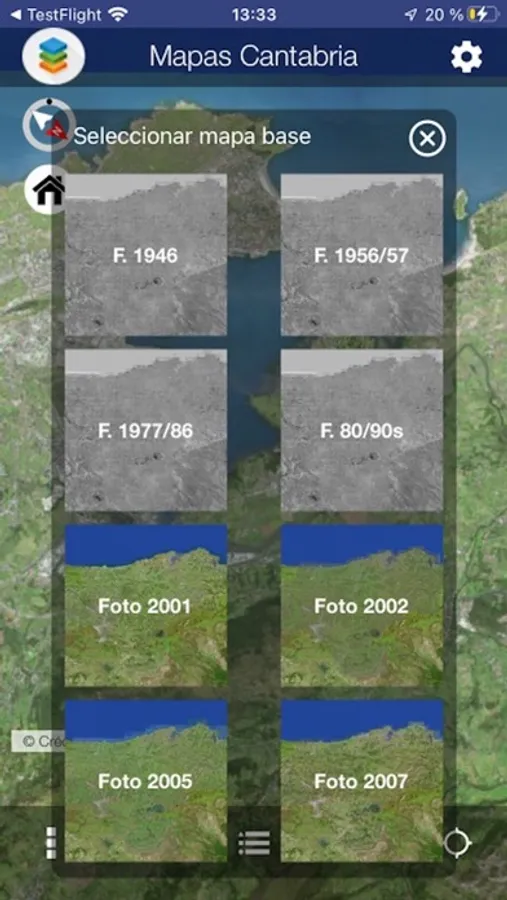
• Huge collection of orthoimagery adquired at different dates.
• Full GPS location shows your actual position and bearing.
• Create and read your own GPX route files for hiking.
• Works offline. Download basemaps and work with them even if you have no access to the Internet.
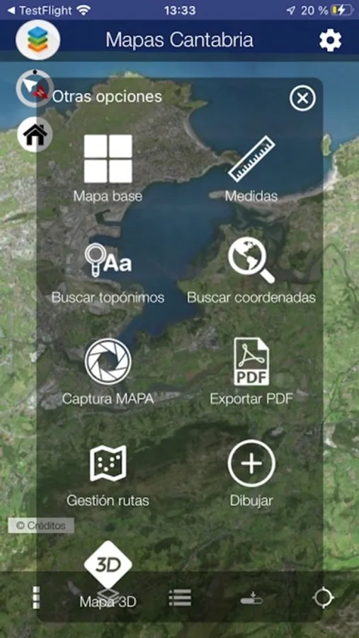
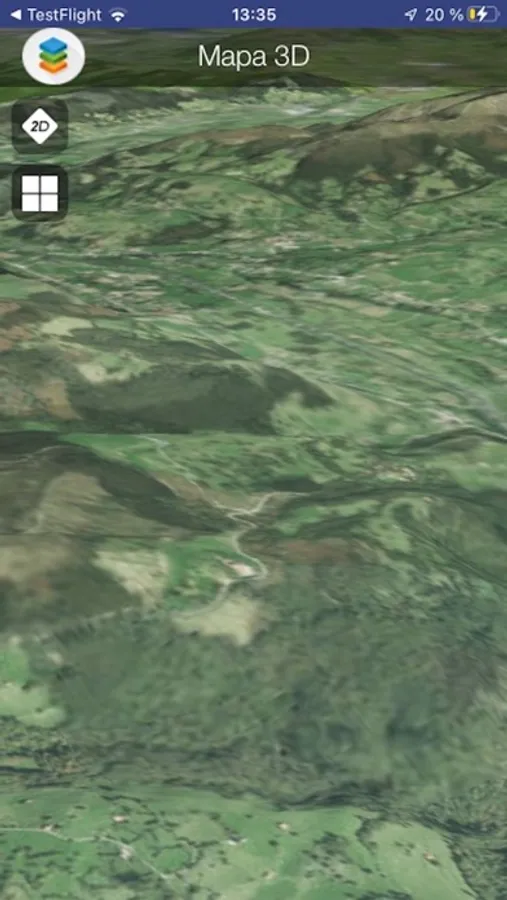
• Astounding 3D views*
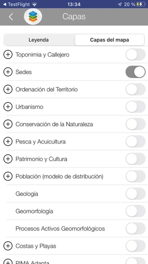
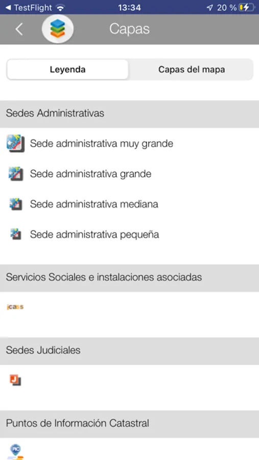
• Wide catalog of thematic information.
• Query and locate coordinates in different formats.
• Find geographical names from our extensive and comprenhensive database.
• Create sketches drawing points, lines, polygons and texts and export the resulting maps to PDF or image format.
• Measure elements.
• Overlay remote WMS services from external servers (IGN, cadastre and other servers from Spain or abroad).
* Some features not available in all the devices.
* Continued use of GPS running in the background can dramatically decrease battery life
