About Earthquake Notifications Maps
Earthquake - Notifications and Maps is an application produced to promote a conscious use of smartphones and based entirely on Open Data.
You can support the development of the project by downloading the app.
We update our app every few weeks.
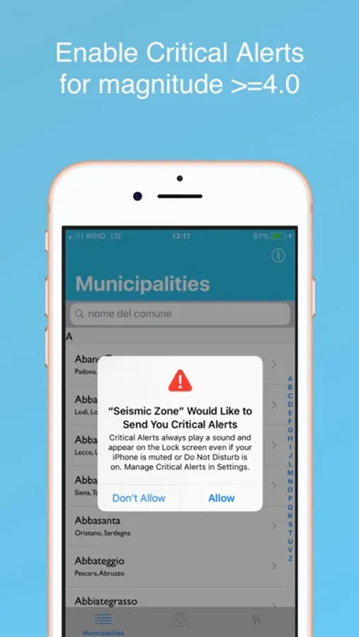
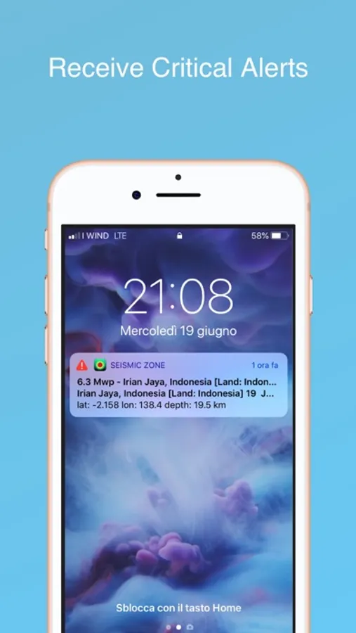
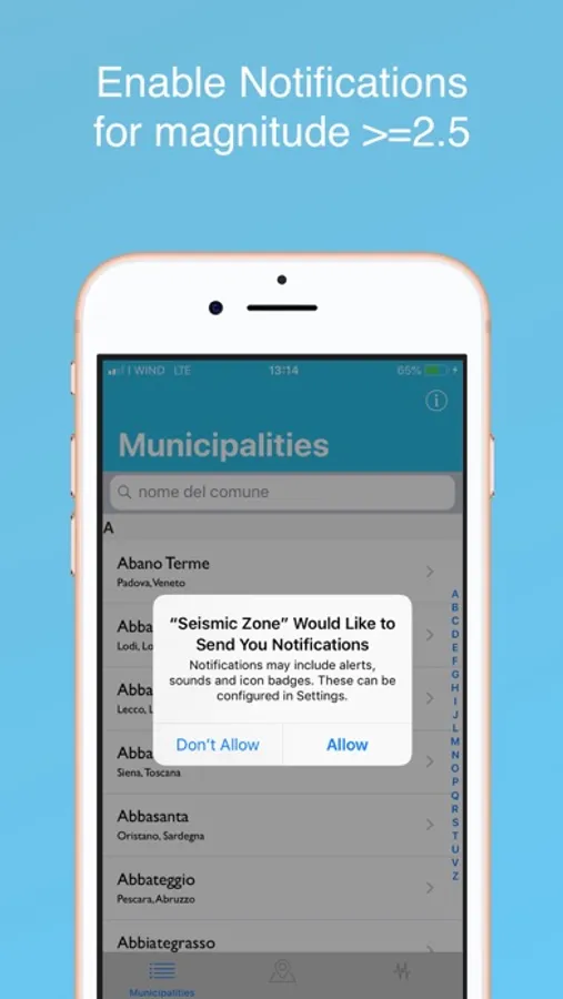
> This app provides push notification about events when are available.
> Use this app to check the level of seismicity of the town you are interested.
> The data presented in the app are distributed by the National Institute of Geophysics and Volcanology as regards seismic events, are in the public domain and in the Official Gazette regarding the classification of italian municipalities in the seismic area of reference.
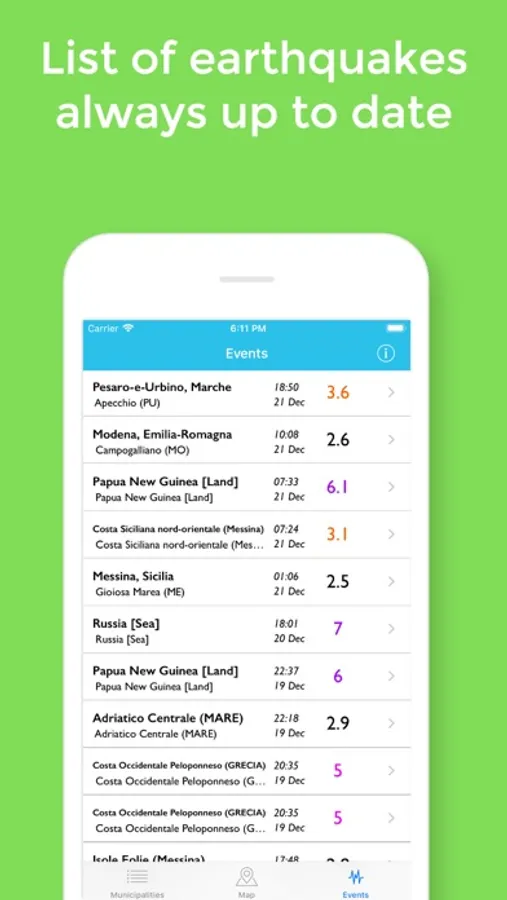
> The database contains over 31,000 events in Italy, the world and the Mediterranean from 1985 to today. Every day the list is updated.
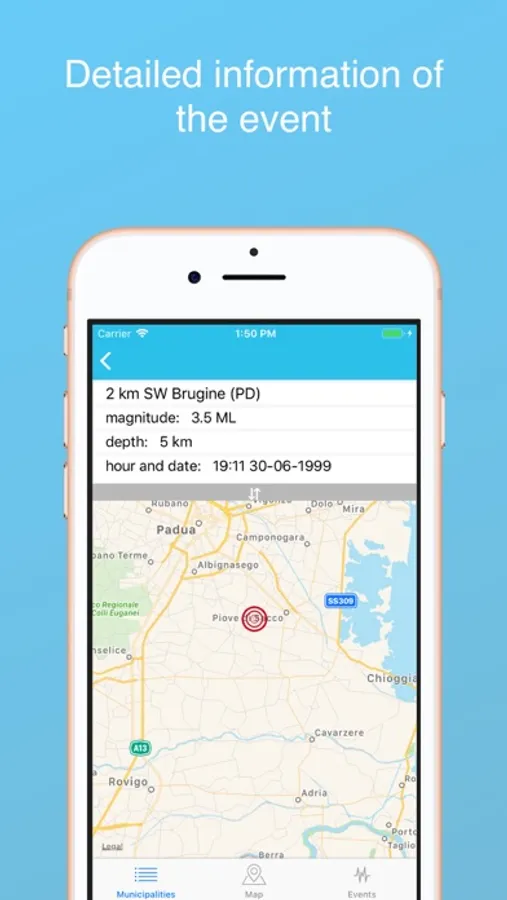
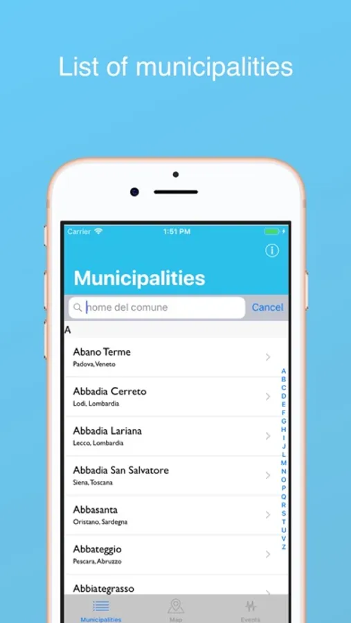
> From the list of municipalities you can access the list of all the events that occurred in the province to which the selected municipality belongs, ordered from the most recent to the most remote.
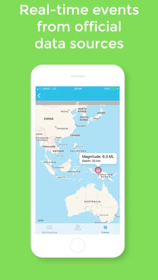
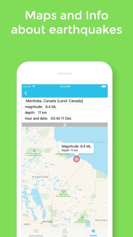
> From the list of events you can access the list of notified events in which you also find the events happening in the rest of the world, if the recorded magnitude is greater than 6.0 of Magnitude Richter also called Local Magnitude (ML).
> Each municipality Italian is assigned to a classified area to level of seismicity.
> The data presented are in the public domain and are relative the italian municipalities.
> The planned areas are:
>>> Zone 1 - This is the most dangerous area. They may experience strong earthquakes;
>>> Zone 2 - In this area you may experience strong earthquakes;
>>> Zone 3 - In this area you may experience strong earthquakes but rare;
>>> Zone 4 - And 'the least dangerous area. Earthquakes are rare.
