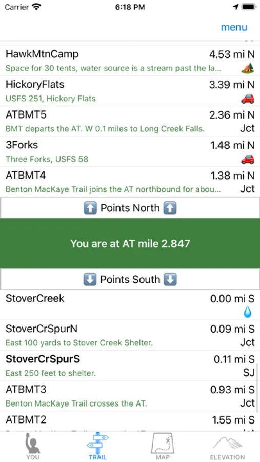
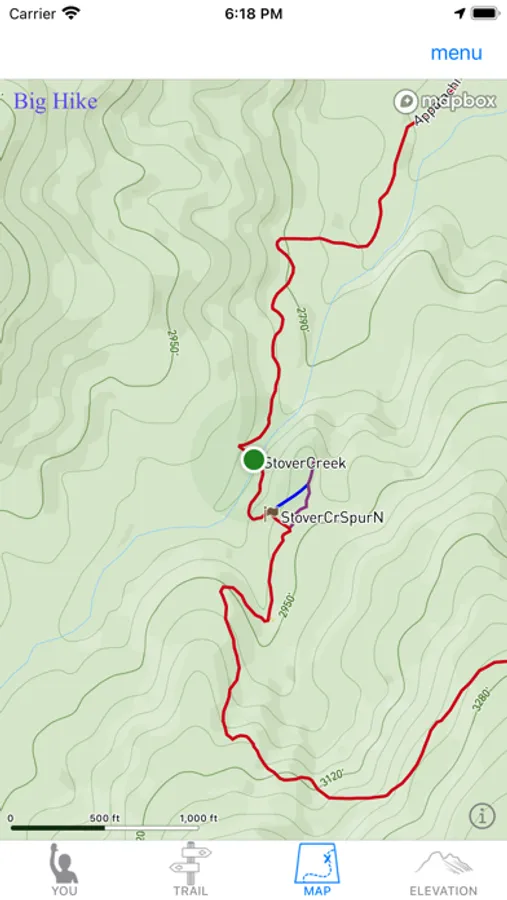
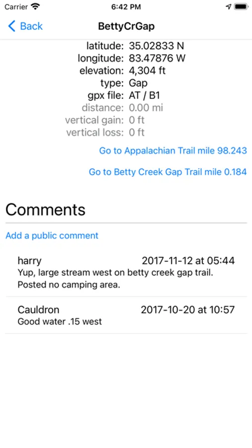
In this hiking app, you can view real-time trail data and leave comments for trail tracking. Includes offline access, trail information, and user comments synchronization.
About Big Hike
Big Hike is the essential tool for Appalachian Trail hikers. With 6000 miles of trail data in Appalachia and beyond, Big Hike locates you in real time with meter accuracy. Don't worry about cell service, Big Hike works offline. Big Hike also allows you to leave public comments, which sync with the website http://www.bighike.net/ giving you a record for friends and family to follow along.
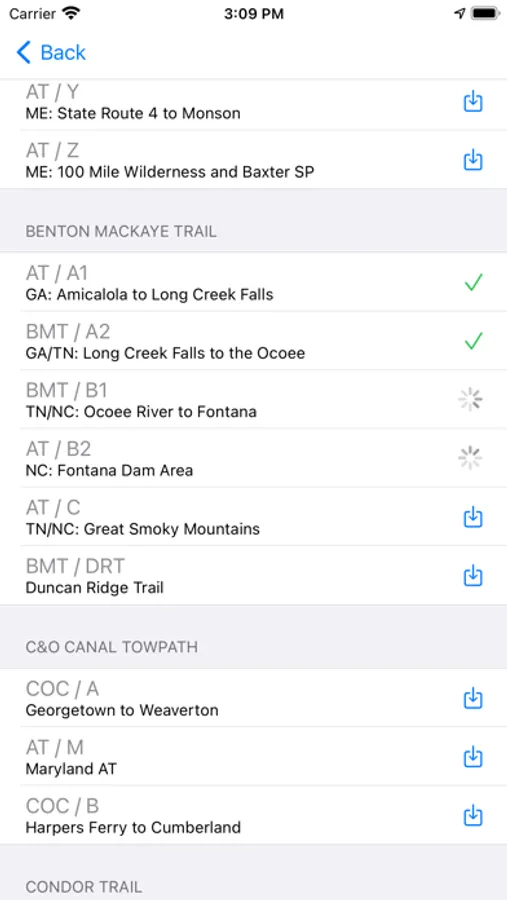
Big Hike provides data on the following trails, free to download: the Appalachian Trail, Long Trail (Vermont), Long Path (New York), C&O Canal Towpath (Maryland), Benton MacKaye, Art Loeb and Pinhoti Trails (North Carolina, Tennessee, Georgia, and Alabama), Condor Trail (California), and many other trails in the Smokies, Catskills, Shenandoah National Park, the White Mountains (New Hampshire), and Baxter State Park (Maine).
Big Hike provides data on the following trails, free to download: the Appalachian Trail, Long Trail (Vermont), Long Path (New York), C&O Canal Towpath (Maryland), Benton MacKaye, Art Loeb and Pinhoti Trails (North Carolina, Tennessee, Georgia, and Alabama), Condor Trail (California), and many other trails in the Smokies, Catskills, Shenandoah National Park, the White Mountains (New Hampshire), and Baxter State Park (Maine).


