
With this app, you can view and compare high-resolution aerial imagery of agricultural fields and add notes or photos to assist in field management. Includes offline access, image comparison tools, and annotation features.
AppRecs review analysis
AppRecs rating 4.1. Trustworthiness 65 out of 100. Review manipulation risk 22 out of 100. Based on a review sample analyzed.
★★★★☆
4.1
AppRecs Rating
Ratings breakdown
5 star
85%
4 star
8%
3 star
0%
2 star
0%
1 star
8%
What to know
✓
Low review manipulation risk
22% review manipulation risk
✓
High user satisfaction
85% of sampled ratings are 5 stars
About Ceres Imaging
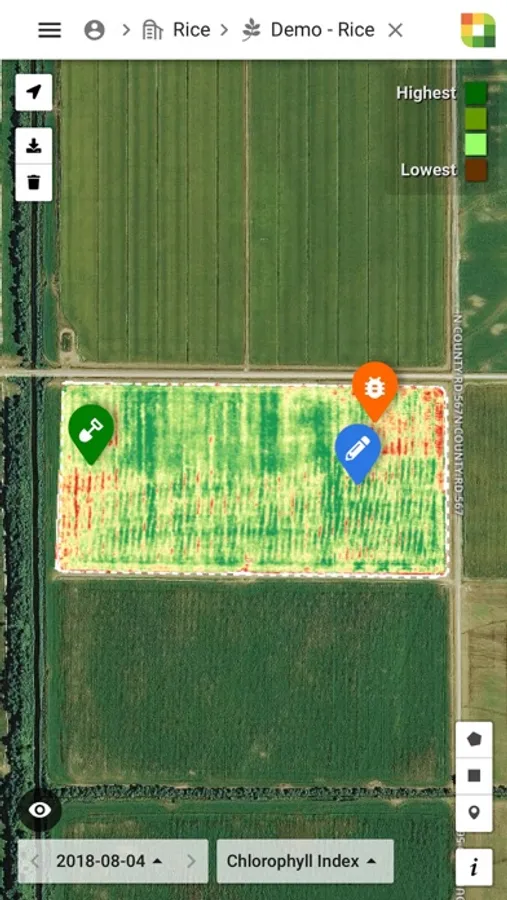
Ceres Imaging provides precise, accurate aerial imagery for agriculture. We believe the future of farming depends on providing growers with the right tools—to cover more ground, make the most of limited resources, and apply skill and experience where they’re needed most.
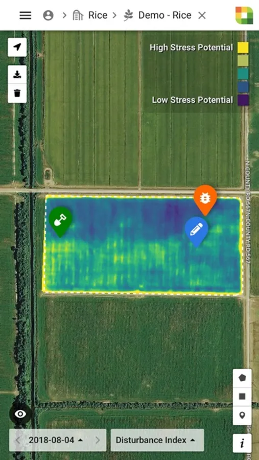
Harness our high-resolution multispectral imagery to improve uniformity, reduce input costs, manage water stress, and identify issues before they impact your crop.
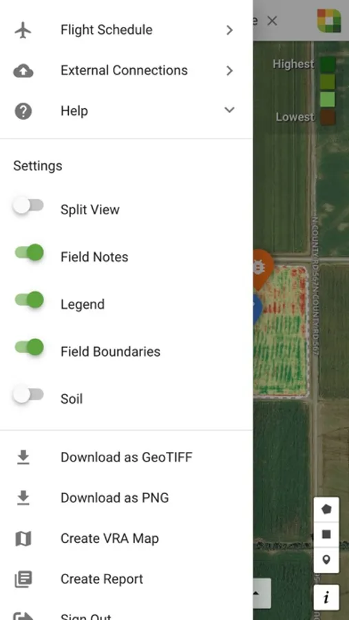
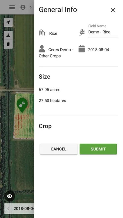
On the app, you can:
- Easily refer to your imagery on your iPhone or iPad
- Compare imagery of your fields over time
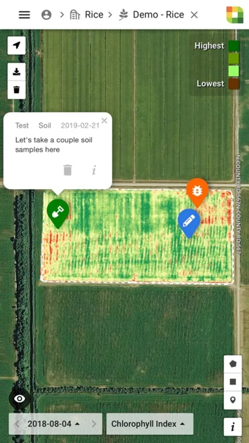
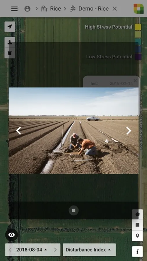
- Add notes and photos to help your team work efficiently
- Download imagery for offline use
Harness our high-resolution multispectral imagery to improve uniformity, reduce input costs, manage water stress, and identify issues before they impact your crop.
On the app, you can:
- Easily refer to your imagery on your iPhone or iPad
- Compare imagery of your fields over time
- Add notes and photos to help your team work efficiently
- Download imagery for offline use
Ceres Imaging Screenshots
Tap to Rate:
Reviews for Ceres Imaging
Peter Frantz
GPS arrow missing on XR
App is great and does what it is supposed to, but for some reason on the iphone XR the GPS arrow is missing. Our users are unable to geo locate by simply pressing the arrow as it is missing only for XR model phones.