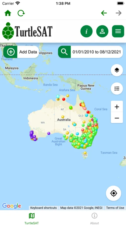
About TurtleSAT - mapping tool
TurtleSAT - Turtle Surveying and Analysis Tools - is a new app where communities are mapping the location of freshwater turtles in waterways and wetlands across the country. Australia's unique freshwater turtles are in crisis - their numbers are declining and your help is needed to record where you see turtles in your local area.
If you see a freshwater turtle (or a turtle nest) near your local creek, farm dam or on the road, enter the location of your sighting in this app. Your sightings will help land managers to track the movement and behaviour of turtles, to protect them and their offspring in your local area.
Record where you see freshwater turtles or their nests in your local area - Start mapping now! You can Register and login, or simply record your email address when entering sightings. Please ensure that you have the latest version of Firefox as your default browser- to ensure geolocation services accurately pinpoint your location.
