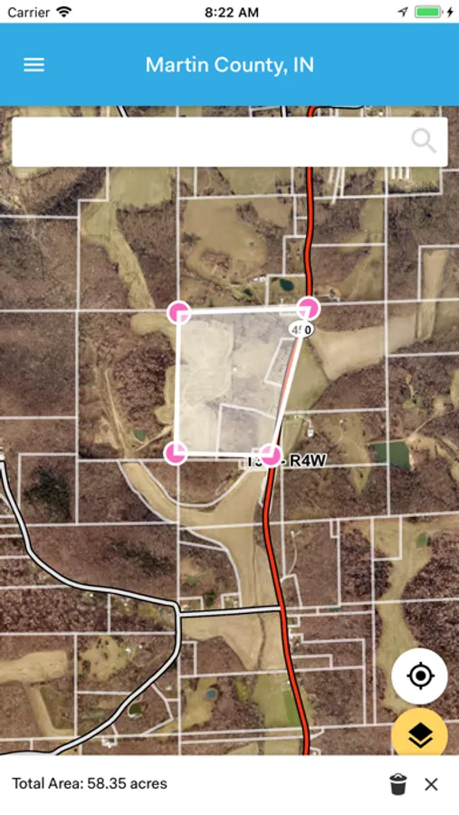
With this property data app, you can browse local parcel information, view owner details, photos, and recent sales. Includes property records, assessments, and county coverage details.
AppRecs review analysis
AppRecs rating 2.0. Trustworthiness 74 out of 100. Review manipulation risk 27 out of 100. Based on a review sample analyzed.
★★☆☆☆
2.0
AppRecs Rating
Ratings breakdown
5 star
14%
4 star
10%
3 star
9%
2 star
10%
1 star
58%
What to know
⚠
Pricing complaints
Many low ratings mention paywalls or pricing
⚠
Mixed user feedback
Average 2.1★ rating suggests room for improvement
⚠
High negative review ratio
68% of sampled ratings are 1–2 stars
About Elevate Parcel
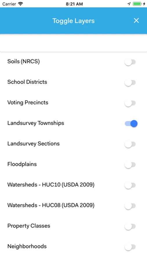
Browse local parcel information with ease! Elevate Parcel helps you access your county’s property data – including owner information, photos, recent sales, assessments and more – all without leaving your couch.
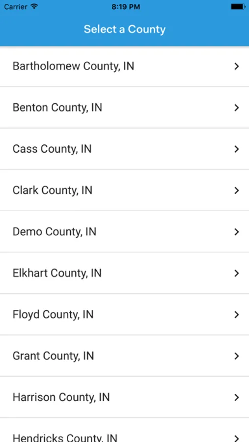
Available in the Following Counties:
* Benton County, IN
* Bartholomew County, IN
* Cass County, IN
* City of Hobart, IN
* Clark County, IN
* Elkhart County, IN
* Floyd County, IN
* Grant County, IN
* Harrison County, IN
* Hendricks County, IN
* Jay County, IN
* LaPorte County, IN
* Lawrence County, IN
* Martin County, IN
* Miami County, IN
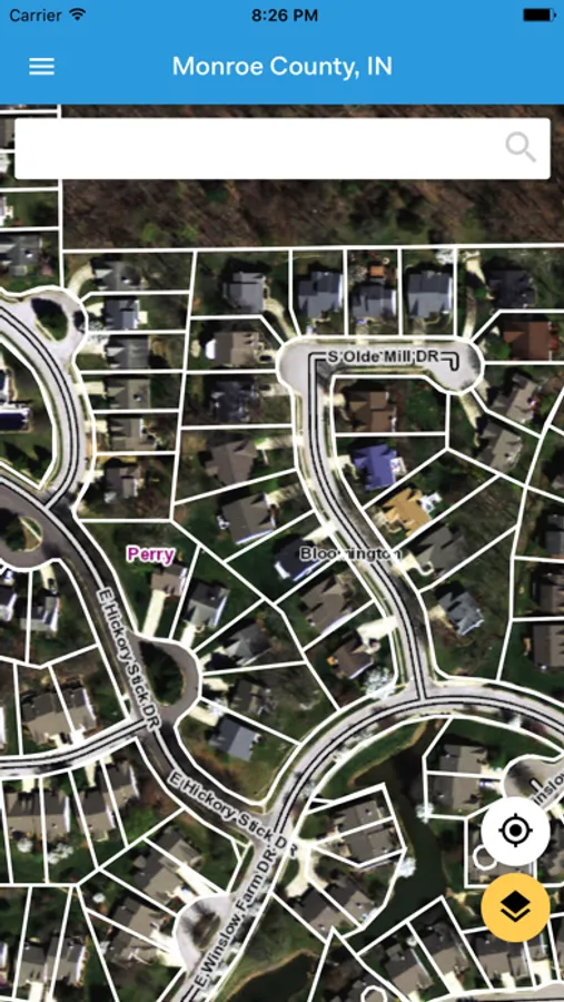
* Monroe County, IN
* Morgan County, IN
* Orange County, IN
* Owen County, IN
* White County, IN
Visit our web maps at http://elevatemaps.io/.
Available in the Following Counties:
* Benton County, IN
* Bartholomew County, IN
* Cass County, IN
* City of Hobart, IN
* Clark County, IN
* Elkhart County, IN
* Floyd County, IN
* Grant County, IN
* Harrison County, IN
* Hendricks County, IN
* Jay County, IN
* LaPorte County, IN
* Lawrence County, IN
* Martin County, IN
* Miami County, IN
* Monroe County, IN
* Morgan County, IN
* Orange County, IN
* Owen County, IN
* White County, IN
Visit our web maps at http://elevatemaps.io/.
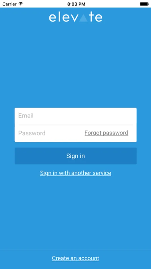
Elevate Parcel Screenshots
Tap to Rate:
Reviews for Elevate Parcel
Jennyb1979
Only works sometimes
This app is no reliable. I need it for my job and I cannot depend on it. I’ve tried for three weeks now to open it and it won’t even load. Junk.
Crochet Junkie
5 years since last update
App no longer loads. Not user friendly and worked inconsistently; when it did work. IPhone 15 Pro Max. Really needs updated!!!