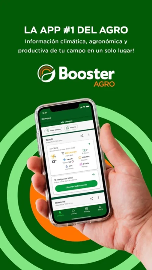
In this agricultural app, users access and analyze climate data, crop imagery, and pest alerts to monitor farm conditions. Includes satellite weather, crop health imagery, and in-field record management.
AppRecs review analysis
AppRecs rating 4.8. Trustworthiness 0 out of 100. Review manipulation risk 0 out of 100. Based on a review sample analyzed.
★★★★☆
4.8
AppRecs Rating
Ratings breakdown
5 star
82%
4 star
18%
3 star
0%
2 star
0%
1 star
0%
What to know
✓
High user satisfaction
82% of sampled ratings are 5 stars
About BoosterAGRO
With more than 100,000 downloads and a monthly audience of 55.000 users, BoosterAgro App offers on-demand access to climate data, crop health satellite imagery, agronomic, financial advisory and pest & disease alert management.
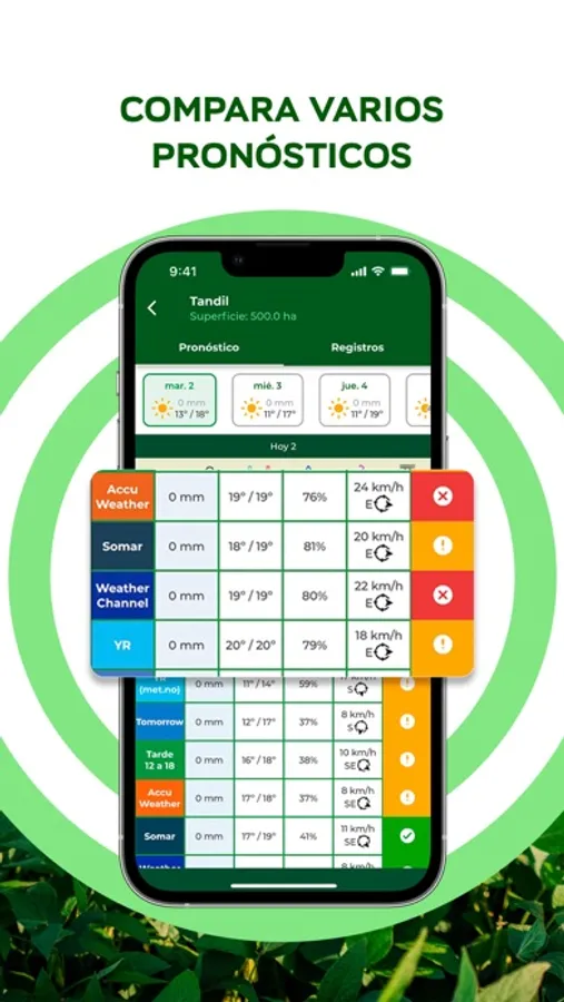
* Multiple Weather Forecasts: Compare the most popular weather forecasts side-by-side in one place.
* Accurate Forecast: A combined forecast of the ones compared. This is the statistically most likely forecast.
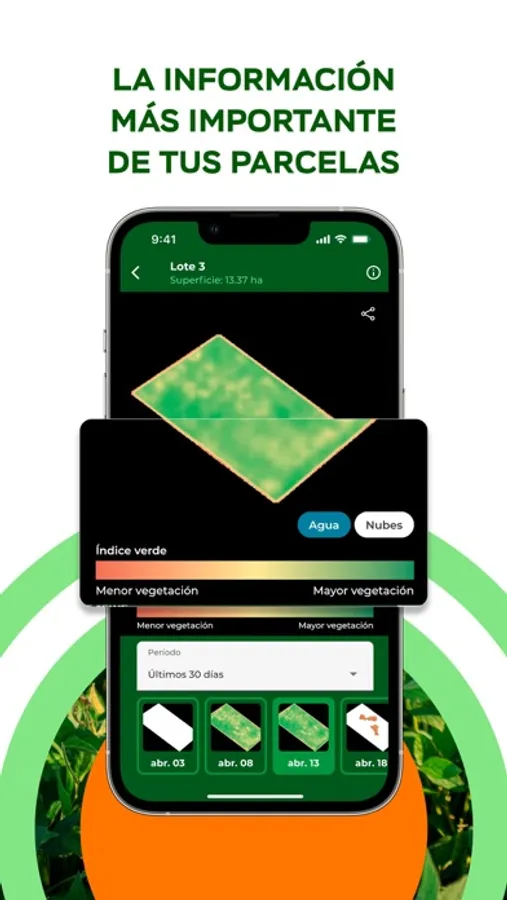
* Crop Health Imagery: Free access to high resolution NDVI imagery to see crop performance across a field at a single point in time. A divergent scale (red-yellow-green) provides a contrast of colors, which makes it easy to find and investigate areas that are showing poor growth.
* Satellite Weather Station: Remote access to in-field current weather conditions (rain, temperature, wind gusts, humidity, dew point, atmospheric pressure), without needing to install any equipment, hardware or sensor.
* Long-term forecast (3 months) with climatic trends (El Niño / La Niña) in each area of the region.
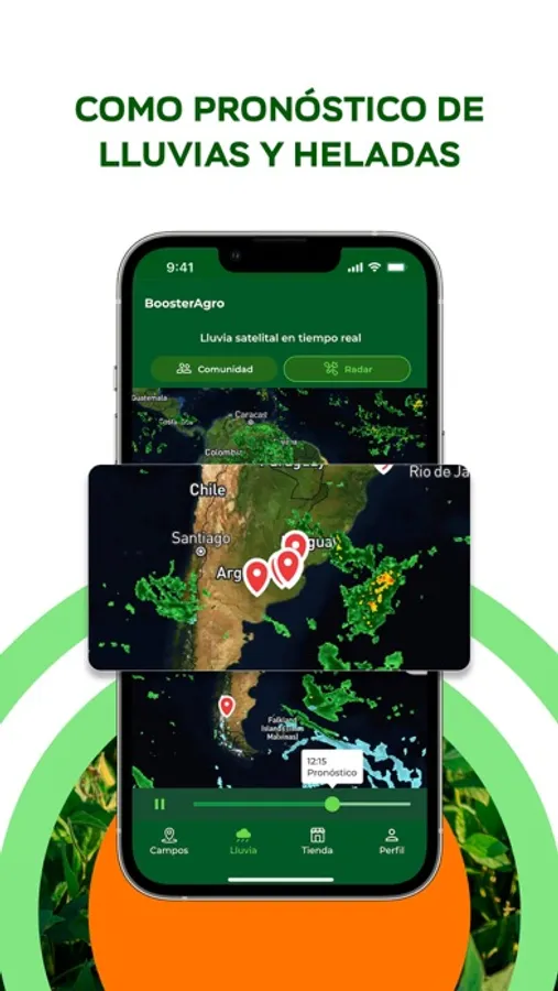
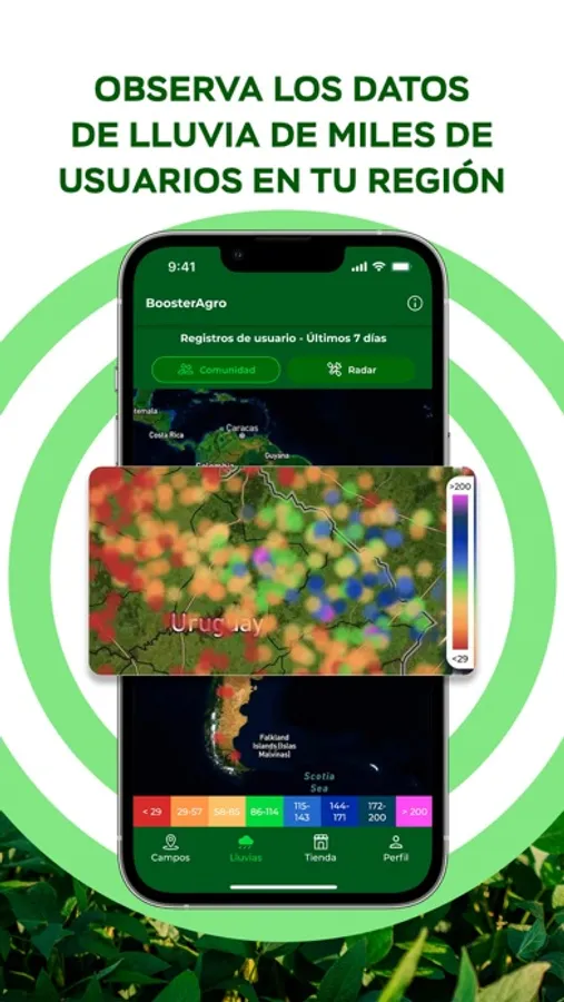
* Rainfall Map: Allows you to visualize the cumulative rainfall of the last 7 days in the area of your farms. The data comes from the user's rainfall raingauge records.
* Pests Map: Allows you to visualize alerts of insects, weeds and diseases that are affecting crops in different areas.These alerts are provided by the same users.
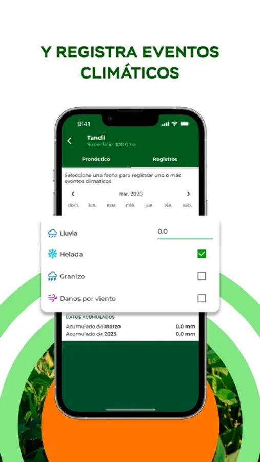
* In-field Records: Keep records of the last precipitations, hail, frost or other weather-related events happened in the field.
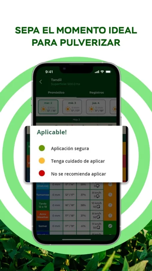
* Spray Smart: Sprayer recommender to view the most and least favorable spray weather conditions for each field according temperature, humidity, wind gust and rains.
* Collaborative Information: Farmers can exclusively share fields data with their team operations (agronomists, advisors, employees and contractors).
* Secret Key: It works offline, it's super friendly, simple and easy to use!
