In this guide app, you can download and view maps, guides, and weather information for New Mexico parks. Includes offline maps, park details, and trail information.
AppRecs review analysis
AppRecs rating 4.5. Trustworthiness 84 out of 100. Review manipulation risk 25 out of 100. Based on a review sample analyzed.
★★★★☆
4.5
AppRecs Rating
Ratings breakdown
5 star
72%
4 star
16%
3 star
7%
2 star
2%
1 star
4%
What to know
✓
Low review manipulation risk
25% review manipulation risk
✓
Credible reviews
84% trustworthiness score from analyzed reviews
✓
High user satisfaction
87% of sampled ratings are 4+ stars (4.5★ average)
About New Mexico Pocket Maps
Discover
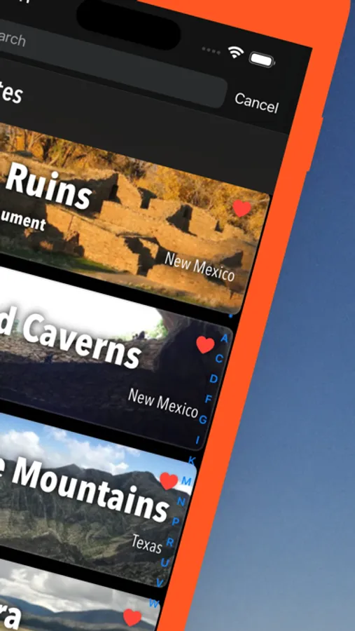
- 90+ national parks, state parks, monuments, forests
- 150+ neatly folded maps by the National Park Service, Bureau of Land Management, United States Forest Services, and other agencies.
- Motor Vehicle Use Maps (MVUM), Motor Vehicle Travel Maps (MVTM) and visitor maps for national forests.
- 600+ campgrounds and campsites
- 2,000+ trails and trailheads
- 58,000+ points of interests
Plan
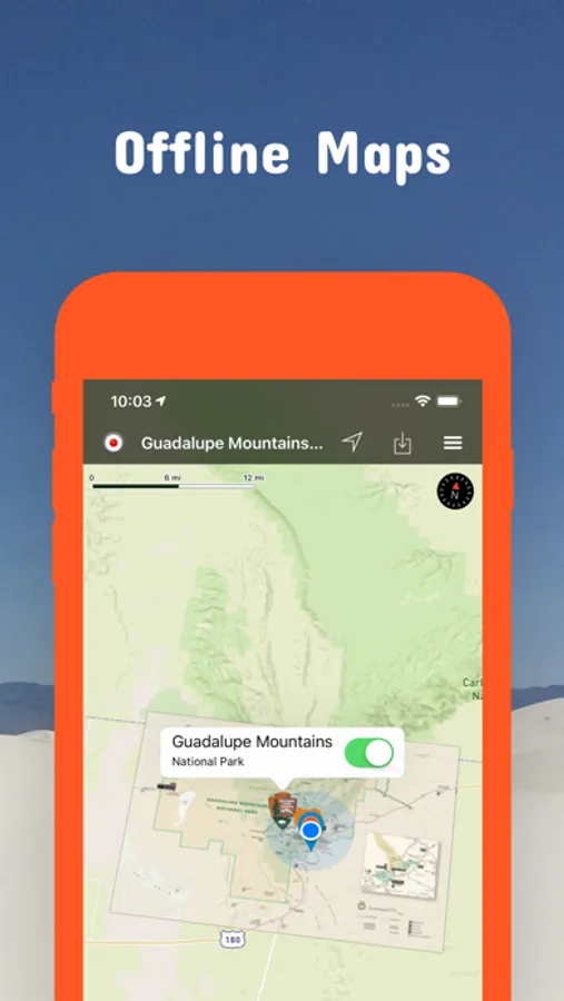
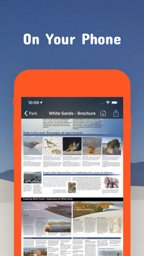
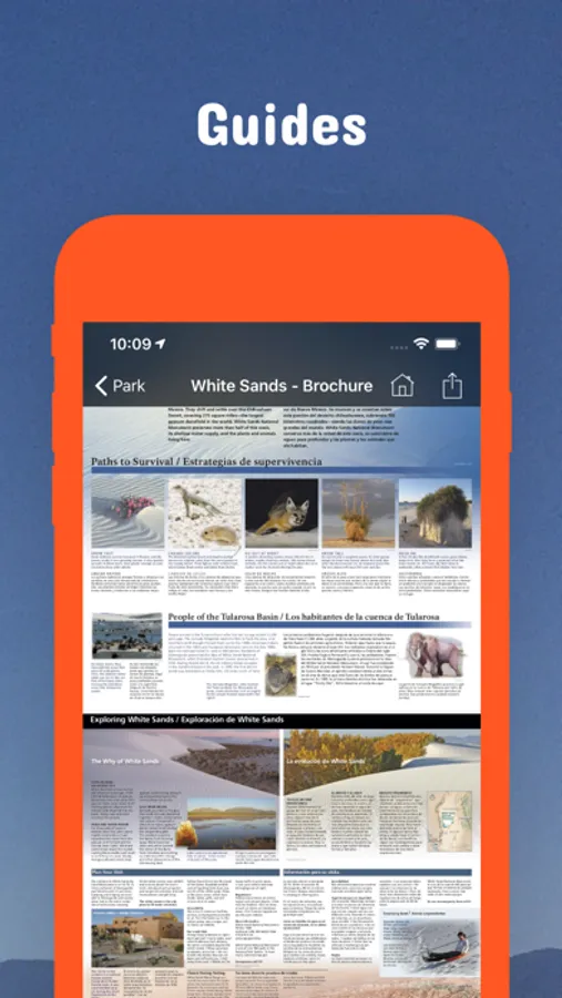
- Download maps, park brochures, and newspapers. These downloads are ready when you are offline and off the grid in the great outdoors.
- Download arbitrary map sections as offline packs.
- Photo galleries, panorama views.
- Share links to parks and maps with friends
Have fun
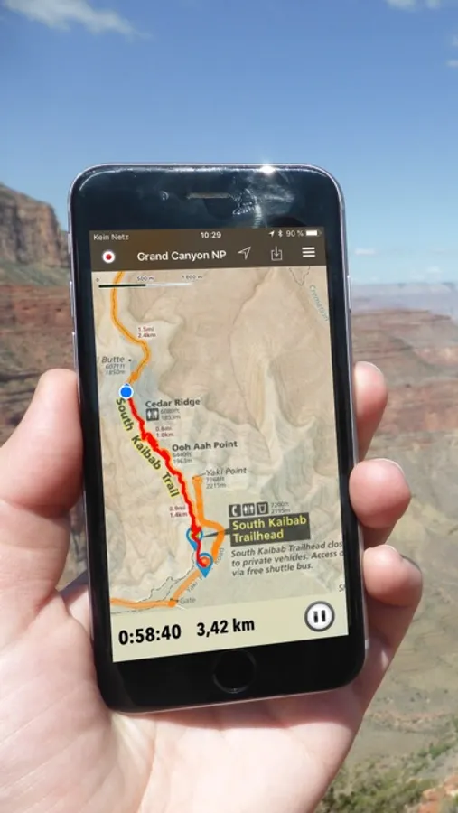
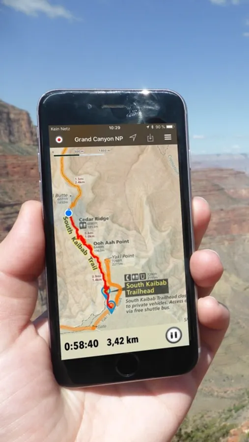
- GPS and GPX support: record your hikes, import GPX routes, tracks and waypoints for your hiking trails.
- Detailed national park information: alerts, news, visitor centers, campgrounds, driving directions, weather.
- Open your favorite maps app to get a route to the selected park.
- Current weather conditions, easy access to multi-day forecasts, sunrise and sunset times.
- Push notifications for park alerts, park news, weather warnings
So download maps and guides for:
Aldo Leopold Wilderness
Apache-Sitgreaves
Aztec Ruins
Bandelier
Bisti/De-Na-Zin
Blue Range Wilderness
Cabezon
Canyons
Capulin Volcano
Carlsbad Caverns
Carson
Chaco Culture
Chain of Craters
Cibola
Datil Well
El Malpais
El Morro
Fort Stanton - Snowy River Cave
Gila Wilderness
Gila Cliff Dwellings
Guadalupe Mountains
Ignacio Chavez
Kasha-Katuwe Tent Rocks
Manzanita Mountains
Kiowa
Organ Mountains Desert Peaks
Pecos
Petroglyph
Placita
Prehistoric Trackways
Rio Grande del Norte
Sabinoso
Salinas Pueblo Missions
Santa Cruz Lake
Santa Fe
Valles Caldera
West Malpais
White Sands
There are additional useful information and brochures for:
Fort Union NM, Manhattan Project NHP, Bluewater Lake SP, Bottomless Lakes SP, Brantley Lake SP, Caballo Lake SP, Cerrillos Hills SP, Cimarron Canyon SP, City of Rocks SP, Clayton Lake SP, Conchas Lake SP, Coyote Creek SP, Eagle Nest Lake SP, El Vado Lake SP, Elephant Butte Lake SP, Fenton Lake SP, Heron Lake SP, Hyde Memorial SP, Leasburg Dam SP, Living Desert Zoo & Gardens SP, Manzano Mountains SP, Mesilla Valley Bosque SP, Morphy Lake SP, Navajo Lake SP, Oasis SP, Ojito Wilderness, Oliver Lee Memorial SP, Pancho Villa SP, Percha Dam SP, Rio Grande Nature Center SP, Rockhound SP, Santa Rosa Lake SP, Storrie Lake SP, Sugarite Canyon SP, Sumner Lake SP, Ute Lake SP, Villanueva SP
LEGAL
Terms of Use: https://www.icoat.de/pocketmaps/terms
Privacy Policy: https://www.icoat.de/pocketmaps/privacy
New Mexico Pocket Maps Screenshots

Tap to Rate:
Reviews for New Mexico Pocket Maps
DarylJG
Pay before you play
App will not let you test functionality before asking you to subscribe or watch an ad (payment from advertiser) for only 5 minutes of functional testing. Frustrating at best.
trashiest app evr
Pretty detailed... but...
This app works pretty well especially in an emergency. The only problem is it must have internet to show detailed area info. In a pinch with no cellular Data, this could be very useful for main roads during a major emergency. I’m talking if worst ever were to come to worst, you might need an app offline. Sure it’s free, and is very detailed online. Nobody sells paper maps anymore sadly. Barely anybody does. But if you think about it, you aren’t usually going to be online in an evacuation because nobody is going to be keeping track of our Data plans. Better than nothing I suppose. But some primary roads would be useful.