With this map app, you can navigate Paris public transport systems offline and plan routes efficiently. Includes maps for metro, bus, RER, airport connections, and sightseeing locations.
AppRecs review analysis
AppRecs rating 4.3. Trustworthiness 57 out of 100. Review manipulation risk 42 out of 100. Based on a review sample analyzed.
★★★★☆
4.3
AppRecs Rating
Ratings breakdown
5 star
57%
4 star
23%
3 star
13%
2 star
3%
1 star
4%
What to know
✓
Authentic reviews
Natural distribution, no red flags
⚠
Questionable review patterns
42% review manipulation risk - some review patterns appear unusual
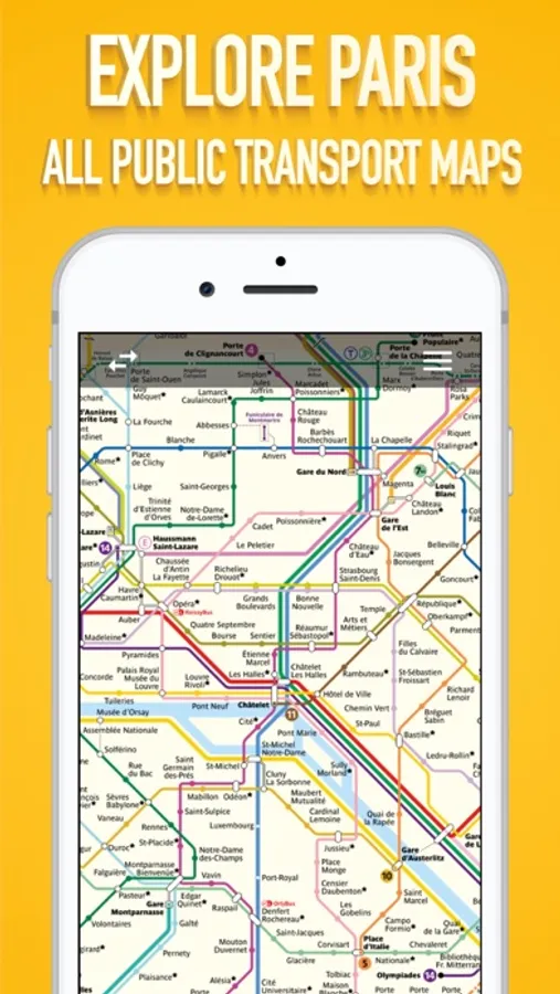
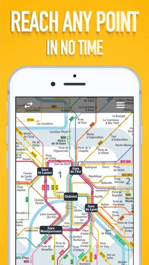
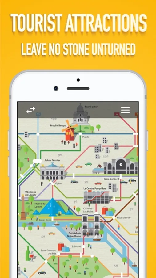
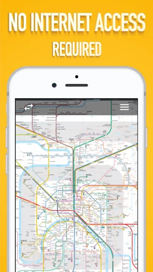
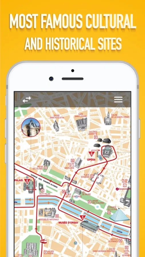
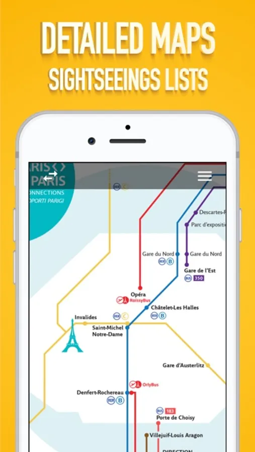
About Paris Metro Map.
Get around Paris using the public transport system. Visit all the places and sights you have planned to. The app can work offline as well.
It is a great alternative to the paper maps. Easy to use and has a very clean interface. It includes the following maps:
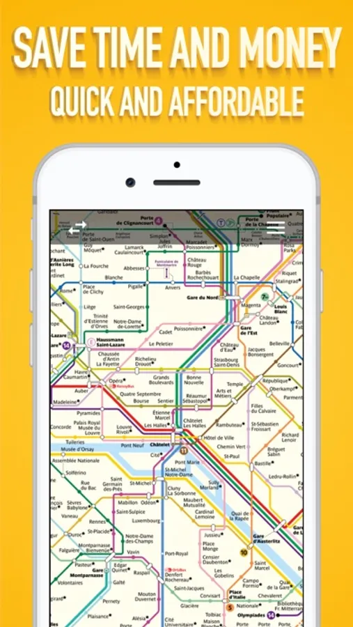
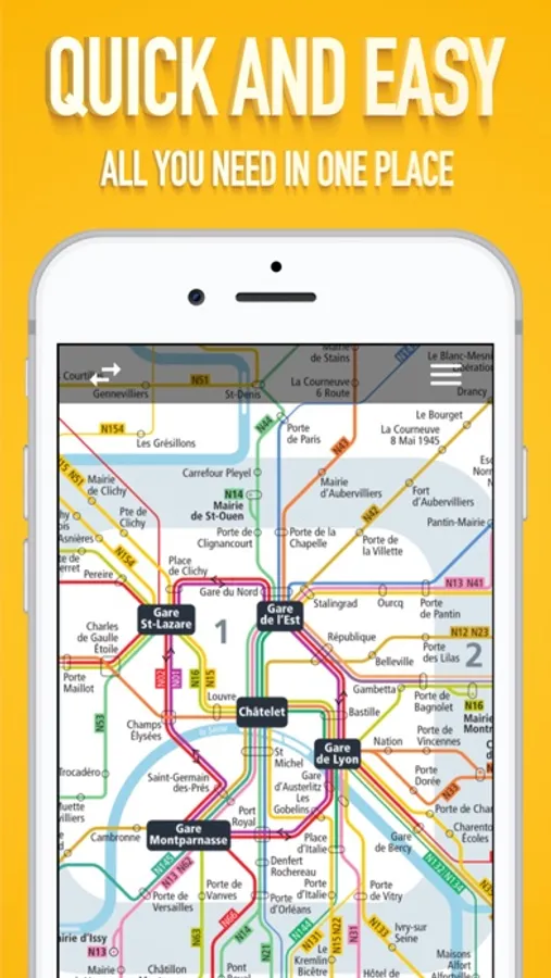
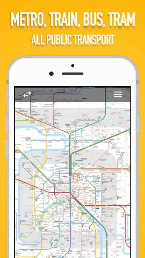
- Paris Public Transport Lines
- Metro Lines
- Bus Lines
- Airport Connections
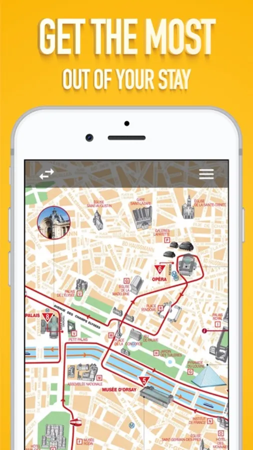
- Sightseeings maps
M, RER, T, Noctilien and BUS.
We are constantly trying our best to update to the latest available maps and keep the app simple and easy to use.
It is a great alternative to the paper maps. Easy to use and has a very clean interface. It includes the following maps:
- Paris Public Transport Lines
- Metro Lines
- Bus Lines
- Airport Connections
- Sightseeings maps
M, RER, T, Noctilien and BUS.
We are constantly trying our best to update to the latest available maps and keep the app simple and easy to use.
Paris Metro Map. Screenshots
Tap to Rate:
Reviews for Paris Metro Map.
Nazarjabir
Fantastic app I do like it
Fantastic app I do like it my first time use it but I am sure it is wonderful as will
prnrvs
Can’t see anything but PDF without rating
Maybe would give more stars if I could see more than a pdf of the map before leaving a rating on the App Store.