About Hazardon
■ Description
"Hazardon" is a disaster prevention app that allows users to receive information from local governents who utilise SpeeCAN Timeline/RAIDEN, as well as to display maps showing evacuation shelters/sites and hazardous places in Japan.
"Push notification of landslide/flood/inundation risk map" is provided by joint research with Kitakyushu City.
■ Points to note
Internet connection is required to receive map information, shelter details and push notification from Hazardon.
■ Main functions
- Map operation
・Display map around your current location
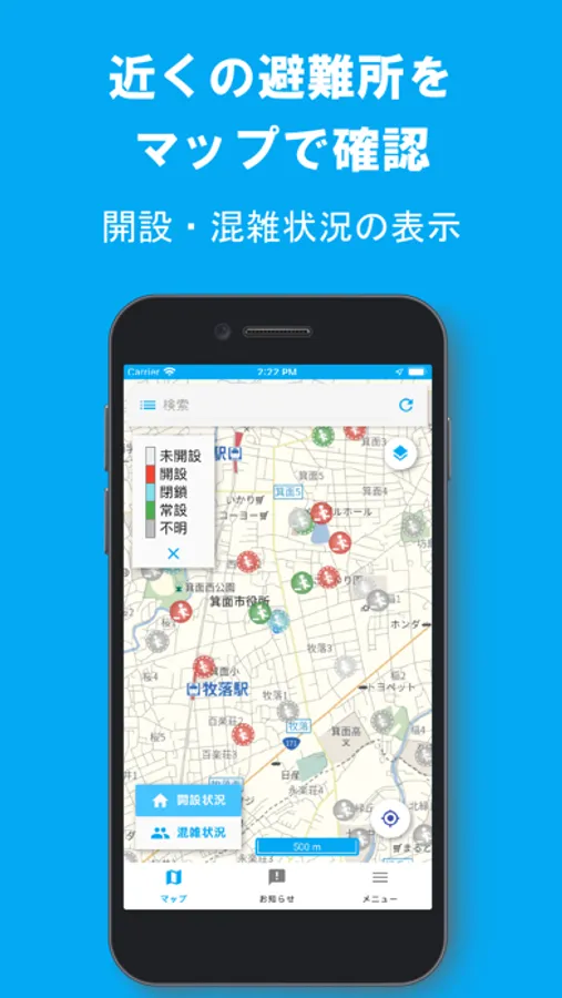
・Display of information on evacuation shelters
・Display of open/closed and congestion status of evacuation shelters
・Display of information on set places registered in SpeeCAN Timeline
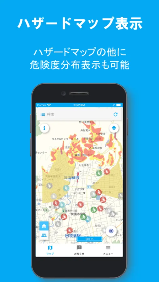
・Display of 10 types of hazard maps (landslide/tsunami risk area, etc.)
・Display of Rainfall Radar patterns / Real-time risk map (Inundation/Landside)
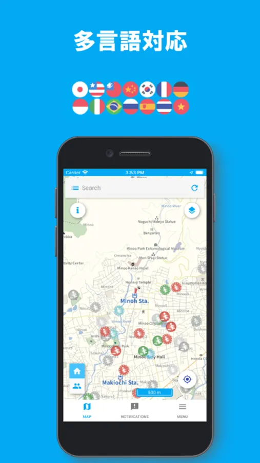
・Supports 13 languages
・Apply for entry to evacuation shelters
・Linking with Q-ANPI
・Linking with SpeeCAN RAIDEN
- Push Notification
・Notification from local governments who utilise SpeeCAN Timeline/RAIDEN
・Notifies when the when weather warnings/earthquake information/landslide warnings are announced in the registered municipalities
・Notifies when the risk distribution of sediment-related disasters, flood/inundation damage exceeds warning level in the registered places.
