About MuniSight
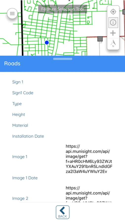
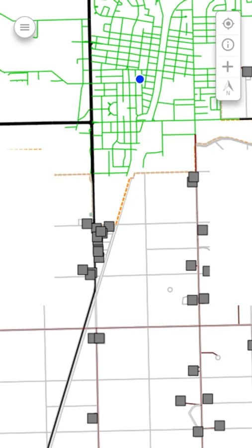
Access your MuniSight Webmap information on the move using MuniSight Mobile. View and collect data in real-time using your device’s GPS location, increasing efficiency of field data collection.
Features:
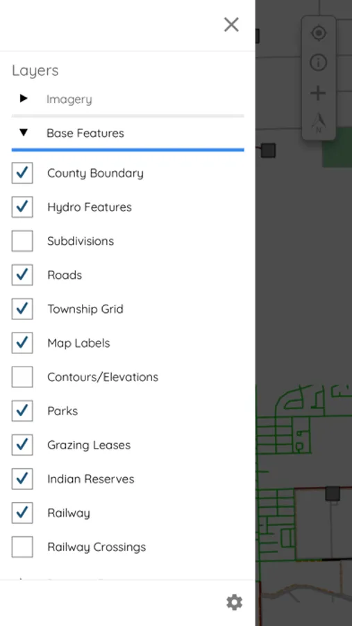
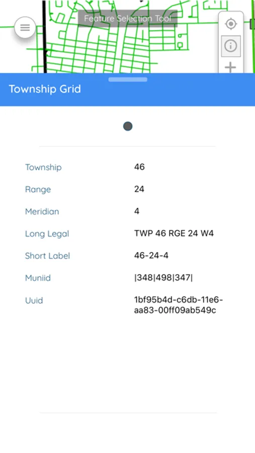
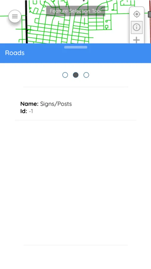
View your integrated MuniSight Webmap information
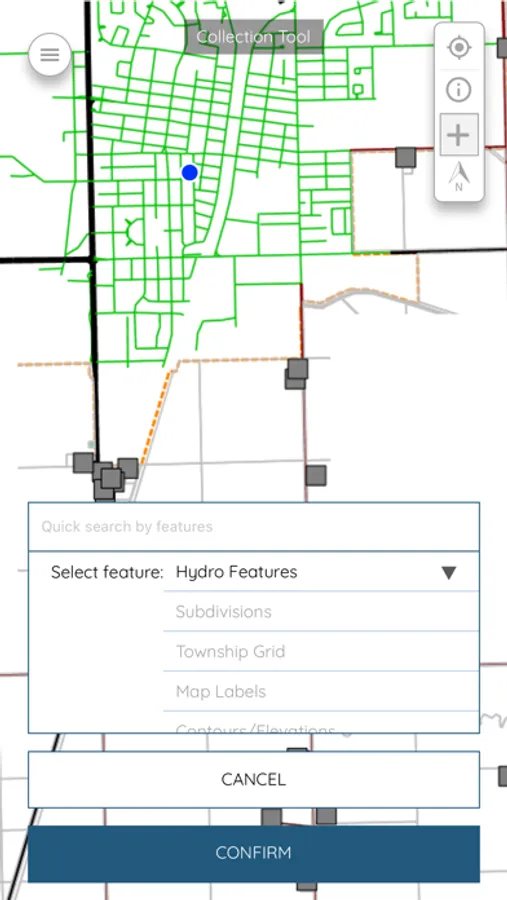
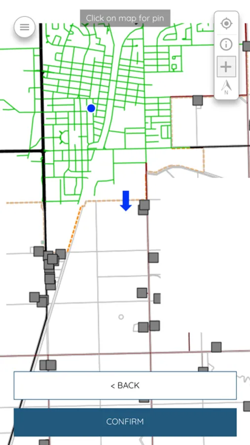
Collection point, line and polygon features using the map or GPS
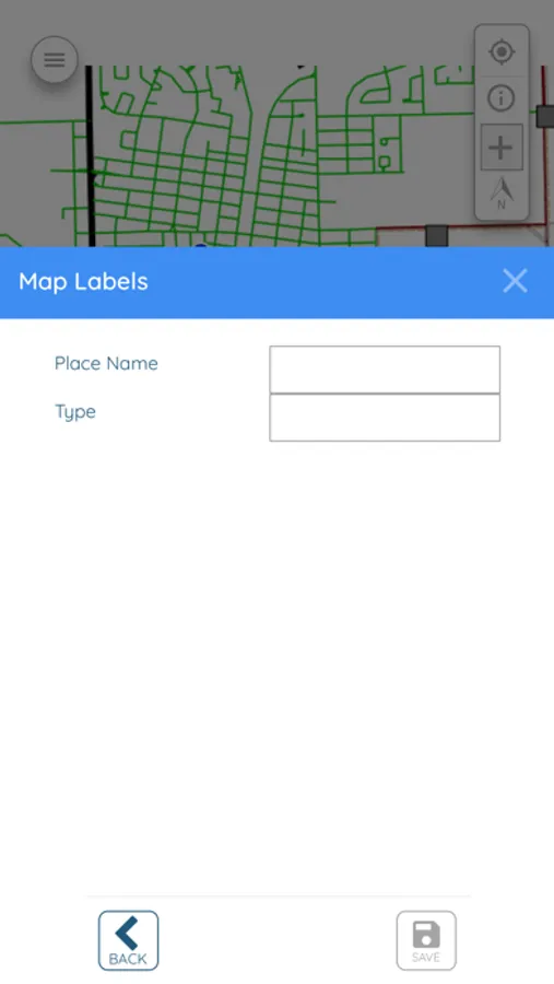
Form driven data collection
Attach photos to features from your device
Features:
View your integrated MuniSight Webmap information
Collection point, line and polygon features using the map or GPS
Form driven data collection
Attach photos to features from your device
