About Pro Vision AR
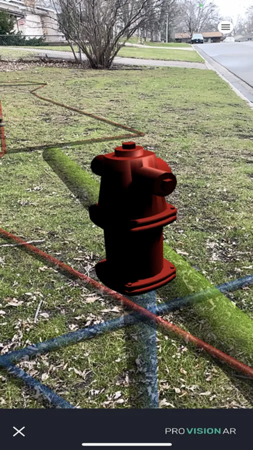
ProVision AR allows users to experience a real-world display of geographically referenced 3D data on their iOS device. Data are projected onto the real world in augmented reality giving the user an "x-ray" view of information which may not be visible below the ground surface or due to other obstructions. Integration with high-accuracy Bluetooth GNSS receivers allows users to view their underground assets, construction design plans, utilities and infrastructure with greater confidence.
Features:
- Map View: Shows your real-world location with an aerial imagery basemap.
- Load models via Google Drive
- Set Center: Moves the origin of your model to your current location, useful for troubleshooting or demo purposes.
Data privacy: data submitted to Virtual GIS/ProVision AR maintained by privacy policy.

