Coastal Explorer
Rose Point Navigation Systems, Inc
2.7 ★
14 ratings
Free
AppRecs review analysis
AppRecs rating 2.7. Trustworthiness 72 out of 100. Review manipulation risk 23 out of 100. Based on a review sample analyzed.
★★☆☆☆
2.7
AppRecs Rating
Ratings breakdown
5 star
29%
4 star
14%
3 star
0%
2 star
14%
1 star
43%
What to know
✓
Low review manipulation risk
23% review manipulation risk
✓
Credible reviews
72% trustworthiness score from analyzed reviews
⚠
Mixed user feedback
Average 2.7★ rating suggests room for improvement
About Coastal Explorer
Coastal Explorer™ is a sophisticated, full-featured, easy-to-use cruise planning and logging tool designed specifically for the pleasure boater. And it becomes a complete navigation system with the purchase of a chart subscription.
The free Coastal Explorer app provides these great planning features:
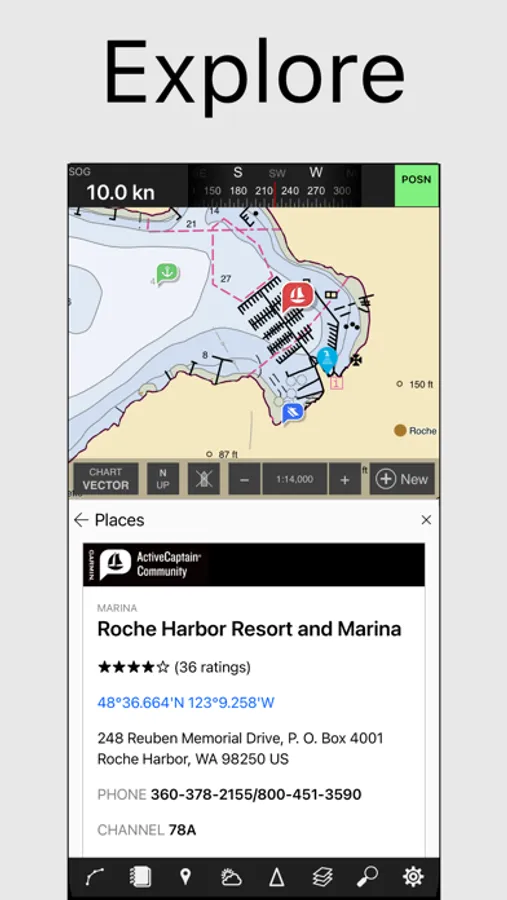
* View NOAA and USACE nautical charts for the US in vector format
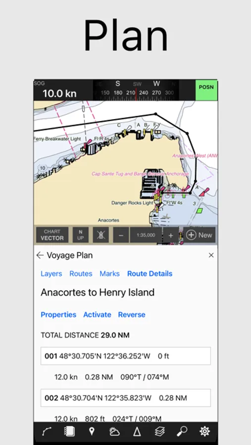
* Create routes, waypoints, boundaries, and other navigation objects
* Cloud-synchronization of your navigation objects
* ActiveCaptain points of interest
* US Coast Pilot information
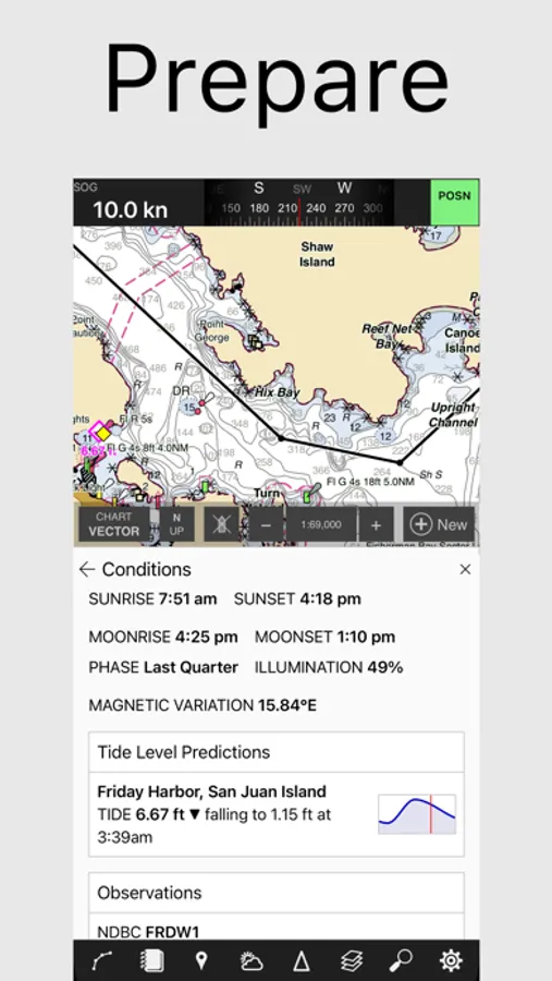
* Marine weather forecasts and observations for the US
* Tide and current predictions for the US
Purchasing a chart subscription turns Coastal Explorer into a complete navigation system that includes:
* Downloadable charts, tide and current predictions, Coast Pilot, and ActiveCaptain places for offline use
* Interfacing with compatible networked marine electronics devices, including GPS, compass, depth sounder, anemometer, AIS, autopilot, and more
* Customizable instrument panels
* Route following with cross-track error, distance and time to go, estimated time of arrival, etc
* Track and event recording
* Integrated blogging
Subscriptions automatically renew unless auto-renew is turned off at least 24 hours before the end of the current period.
See our Terms of Service at https://www.rosepoint.com/legal/terms_of_service.


