AppRecs review analysis
AppRecs rating 1.0. Trustworthiness 65 out of 100. Review manipulation risk 30 out of 100. Based on a review sample analyzed.
★☆☆☆☆
1.0
AppRecs Rating
Ratings breakdown
5 star
0%
4 star
0%
3 star
0%
2 star
0%
1 star
100%
What to know
⚠
Mixed user feedback
Average 1.0★ rating suggests room for improvement
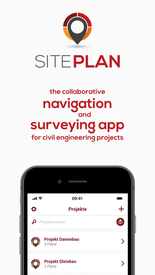
About SitePlan
Built for project teams: GPS navigation in construction plans and satellite map with georeferenced photos, centimeter-accurate measurement, as-built documentation and collaboration.
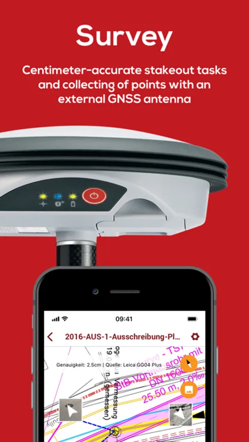
SitePlan enables project teams to navigate PDF plans and a satellite map with their phone GPS. The plans are simply converted into digital GPS maps. Photos taken are also automatically located with their geoposition on the plans and on the map. In addition, each project member can easily connect to GNSS smart antennas, which enables positioning to the centimeter. This makes staking out, centimeter-accurate as-built documentation and digital field measurements a breeze. All data such as plans and photos are available to the entire project team in real time.
This enables you to:
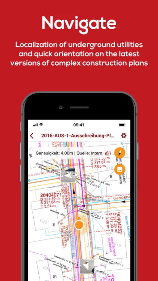
- See your position on the construction plan and on the satellite map for better orientation
- Easily localize plan objects such as lines, e.g. to avoid line damage
- Immediately locate construction site photos automatically with GPS
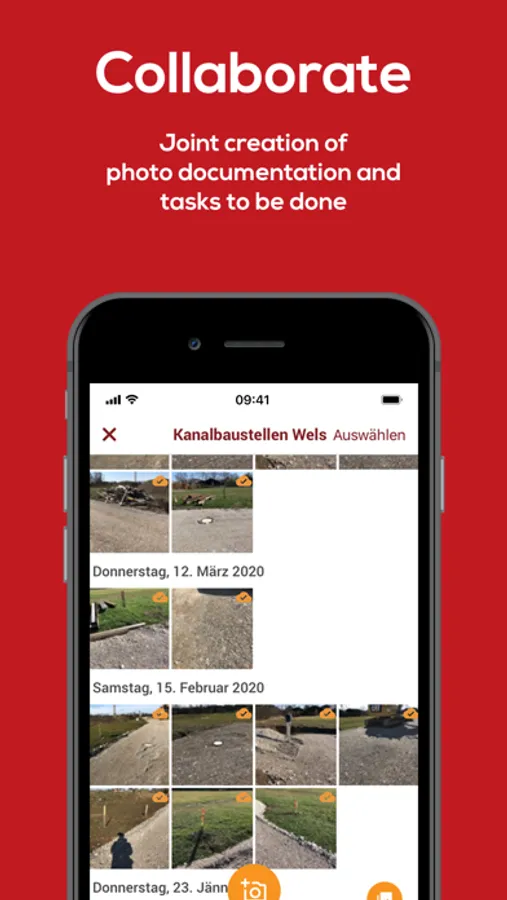
- Manage all construction plans digitally
- Create conclusive photo reports including location information with just a few clicks
Our customers appreciate our app primarily because of:
- the simple localization of plan objects (e.g. lines) and the avoidance of line damage
- the simple documentation of the construction progress with GPS photos
- the much better orientation on the construction site through GPS
- the elimination of time-consuming measuring work using tapes and strings
- the elimination of time-consuming field measurements using sheets and a wheel
- Centimeter-accurate documentation of construction work and local conditions such as lines and pipes
SitePlan Screenshots
Tap to Rate:
Reviews for SitePlan
do.not.read
Wait what, 30 day trial period?
This app looks like it would be really good; however, I’m rated it poorly for a number of reasons. First, after I signed up, it indicated a 30 day trial period. No where that I could find does it indicate how much it costs after the trial period AND there was no mention of this anywhere in the app information before I downloaded it. Second, it seems to be locked in with metric. I couldn’t find a way to switch to imperial. Third, generally, the app seems to be missing basic support.