AppRecs review analysis
AppRecs rating . Trustworthiness 45 out of 100. Review manipulation risk 28 out of 100. Based on a review sample analyzed.
★
AppRecs Rating
Ratings breakdown
5 star
100%
4 star
0%
3 star
0%
2 star
0%
1 star
0%
What to know
⚠
Unusually uniform ratings
100% of sampled ratings are 5 stars with very little variation
About Tranzy
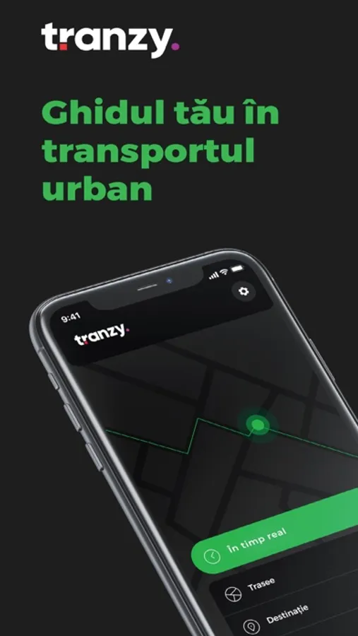
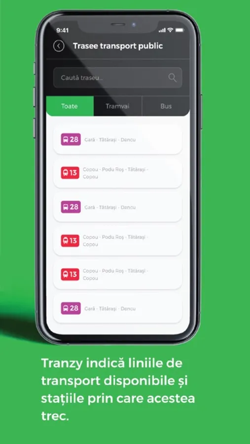
Tranzy is the mobile application that guides you through the city when you choose to take the bus or tram. It offers you updated real-time information about routes, the location of nearby stations, the arrival time of transportation means at the station, optimal routes based on your chosen starting point, distance to your destination, vehicles, and traffic alerts.
PUNCTUAL & EFFICIENT
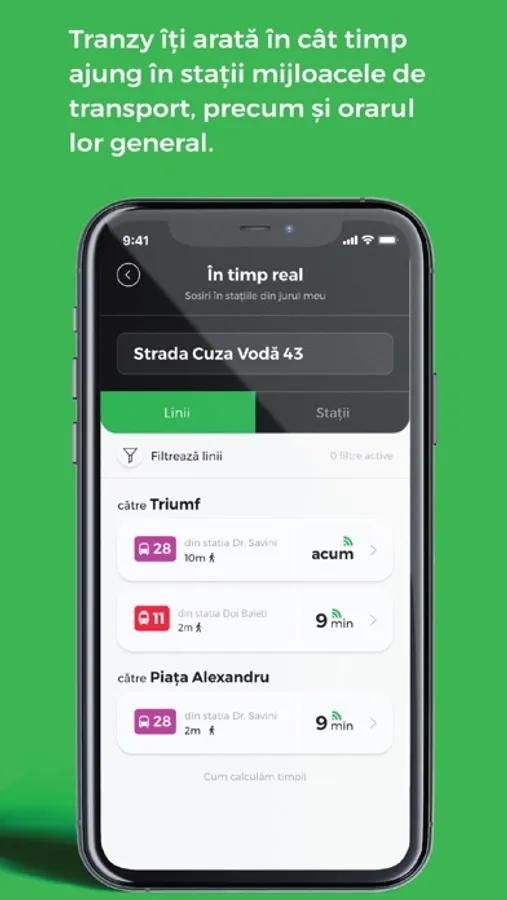
Want to know how much time you have to wait at the station?
Tranzy shows you the time it takes for transportation to arrive at the station, as well as their general schedule.
Don't know which route to take?
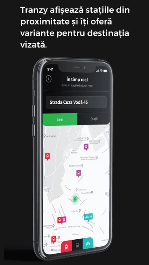
Tranzy displays nearby stations and offers you options for your desired destination.
Want to know the fastest way to get there?
Tranzy displays nearby stations and offers you options for your desired destination.
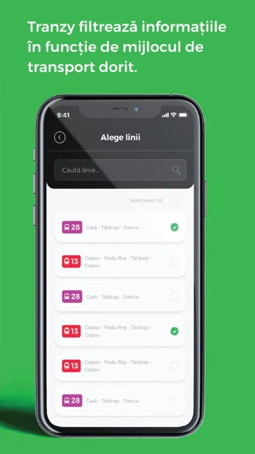
Want to ride a specific vehicle?
Tranzy filters information based on the desired means of transportation.
Traffic problems?
Tranzy announces deviations in routes, interventions, or blockages.
SMART & MODERN
The application uses real-time data provided by the GPS system of public transportation means, synchronized with your smart phone, so you know exactly how much time you have to wait at the station. You can use the application with the location service enabled, manually enter addresses, or select the location directly on the map. Everything is done through a friendly and easy-to-use interface.
FRIENDLY TO THE CITY
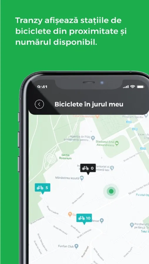
Tranzy monitors self-service bike rental stations, displaying the real-time number of bikes and available spots in the station network.
The optimal functioning of these solutions depends on the daily planning and correct allocation of vehicles to the route by the public transportation operator, as well as the condition and functioning of GPS systems.
Download the application and discover your urban travel guide.
Write to us about how Tranzy helps you and what you like about it, as well as for feedback or questions at support@tranzy.ro, on Facebook & Twitter @tranzyAI. We read each message separately. And we answer the same way!
