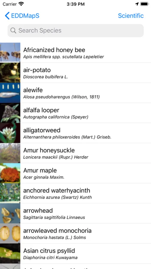
In this mapping system, users document invasive species locations by submitting observations and images through an interactive interface. Includes data verification by experts and options for viewing and downloading distribution maps.
AppRecs review analysis
AppRecs rating 4.7. Trustworthiness 74 out of 100. Review manipulation risk 19 out of 100. Based on a review sample analyzed.
★★★★☆
4.7
AppRecs Rating
Ratings breakdown
5 star
82%
4 star
10%
3 star
4%
2 star
0%
1 star
4%
What to know
✓
Low review manipulation risk
19% review manipulation risk
✓
Credible reviews
74% trustworthiness score from analyzed reviews
✓
High user satisfaction
82% of sampled ratings are 5 stars
About EDDMapS
EDDMapS is a mapping system for documenting invasive species distribution. It is fast, easy to use, and doesn't require Geographic Information Systems experience. Launched in 2005 by the Center for Invasive Species and Ecosystem Health at the University of Georgia, it was originally designed as a tool for state Exotic Pest Plant Councils to develop more complete distribution data of invasive species.
EDDMapS goal is to maximize the effectiveness and accessibility of the immense numbers of invasive species observations recorded each year.
Why do we care?
An invasive species is when a nonnative species causes or is likely to cause economic, environmental harm, or harm to human health. Invasive species negatively impact agriculture, recreation, natural ecosystems, biodiversity, and more. The first step is prevention of nonnative introduction. The second step is to map where the invasive species are found in the introduced area.
How does it work?
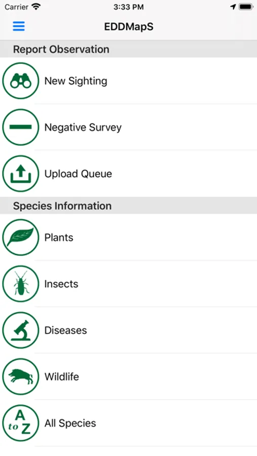
EDDMapS is a platform to document, display, and query the presence of invasive species. A simple, interactive Web interface engages participants to submit their observations or view results through interactive queries into the EDDMapS database. EDDMapS encourages users to participate by providing Internet tools that maintain their personal records and enable them to visualize data with interactive maps.
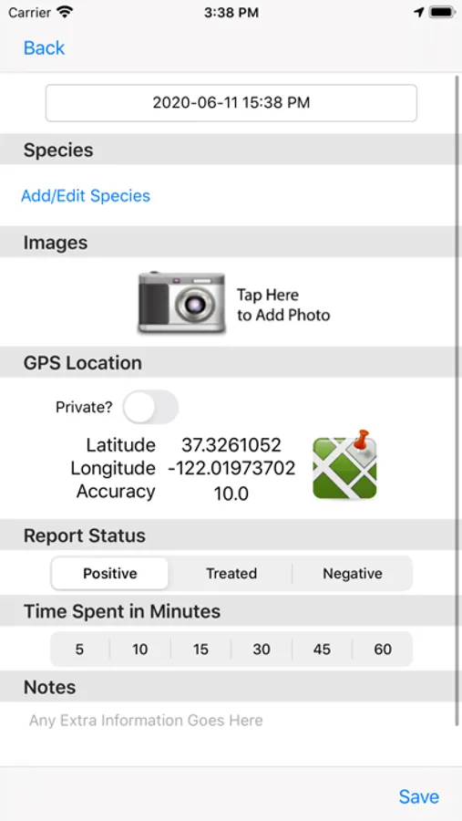
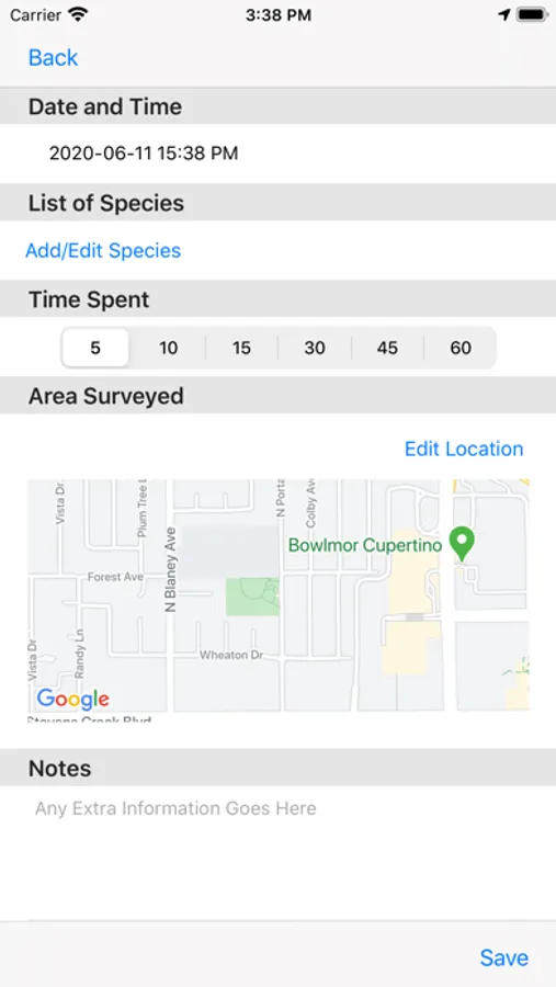
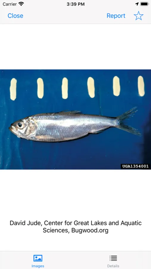
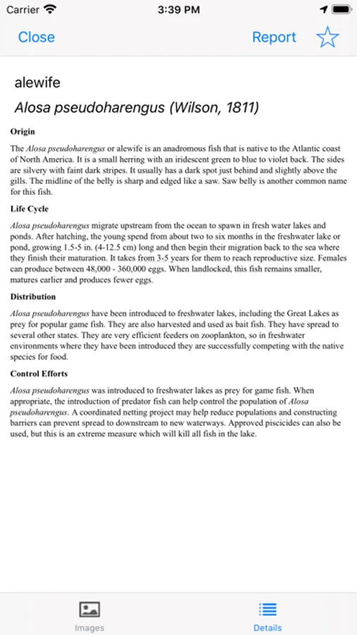
Users simply enter information from their observations into the standardized reporting form, which allows specific information about the infestation and images to be added. Uploaded data entered is immediately loaded to the database for verification. Once data is reviewed as correct by an expert, it is available for viewing and download. Being able to see the current data of a species as it moves into a new area helps to facilitate Early Detection and Rapid Response programs (EDRR). EDRR programs help stop or control an invasive species before it becomes an unmanageable problem.
All data is reviewed by expert verifiers to ensure all data is accurate prior to public availability. The data is freely available to everyone including scientists, researchers, land managers, land owners, educators, conservationists, ecologists, farmers, foresters, state, and national parks.
EDDMapS goal is to maximize the effectiveness and accessibility of the immense numbers of invasive species observations recorded each year.
Why do we care?
An invasive species is when a nonnative species causes or is likely to cause economic, environmental harm, or harm to human health. Invasive species negatively impact agriculture, recreation, natural ecosystems, biodiversity, and more. The first step is prevention of nonnative introduction. The second step is to map where the invasive species are found in the introduced area.
How does it work?
EDDMapS is a platform to document, display, and query the presence of invasive species. A simple, interactive Web interface engages participants to submit their observations or view results through interactive queries into the EDDMapS database. EDDMapS encourages users to participate by providing Internet tools that maintain their personal records and enable them to visualize data with interactive maps.
Users simply enter information from their observations into the standardized reporting form, which allows specific information about the infestation and images to be added. Uploaded data entered is immediately loaded to the database for verification. Once data is reviewed as correct by an expert, it is available for viewing and download. Being able to see the current data of a species as it moves into a new area helps to facilitate Early Detection and Rapid Response programs (EDRR). EDRR programs help stop or control an invasive species before it becomes an unmanageable problem.
All data is reviewed by expert verifiers to ensure all data is accurate prior to public availability. The data is freely available to everyone including scientists, researchers, land managers, land owners, educators, conservationists, ecologists, farmers, foresters, state, and national parks.
EDDMapS Screenshots
Tap to Rate:
Reviews for EDDMapS
heurbdib
App Crashes Continuous
The app keeps crashing after selecting my state and whenever I return to the app, the state selection is still there and keep crashing after each selection is made
A Neuh
Crashes
After selecting my state in the map (Georgia) it freezes and goes nowhere. Thankfully, there is a website that does what the app does.