In this outdoor recreation app, you can explore trails, check real-time conditions, and find nearby amenities. Includes user posts, trail updates, and local recommendations.
About TREAD Map
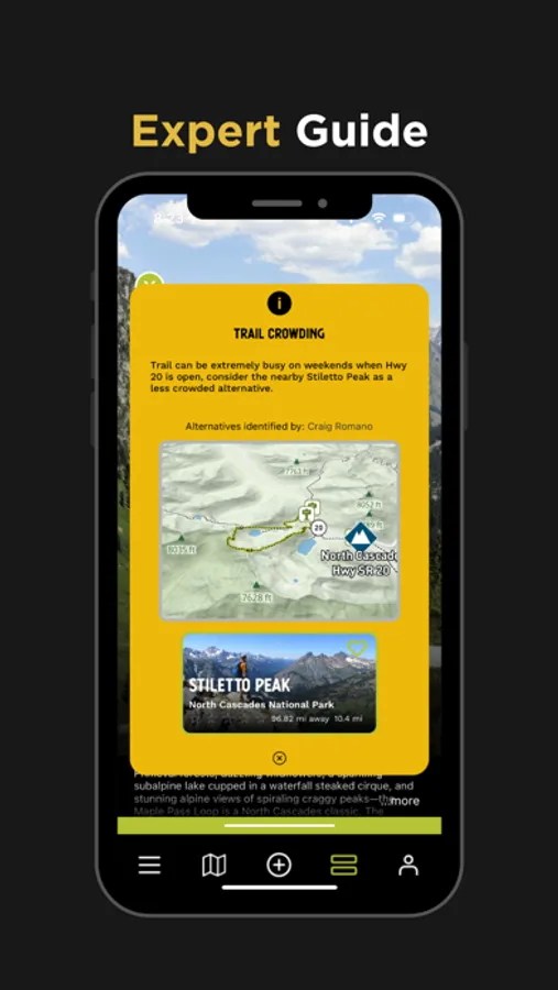
TREAD Map is the perfect companion for those looking to recreate outdoors in the State of Washington. Want to find a trail with fewer crowds? Looking for dog-friendly options? The TREAD Map has you covered. The official outdoor recreation app from State of Washington Tourism, brought to you in partnership with TREAD consulting and Dharma Maps.
Why TREAD Map?
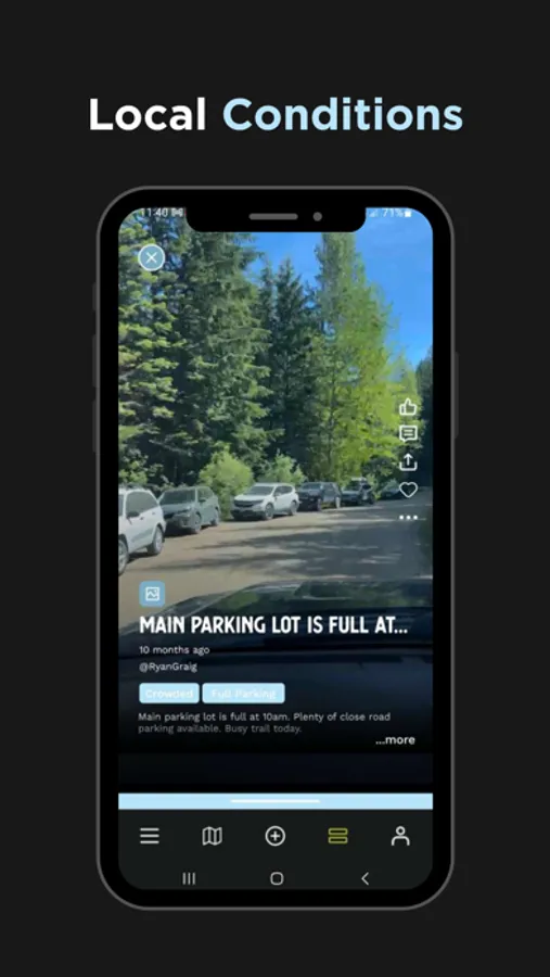
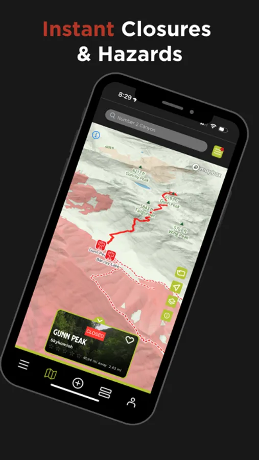
TREAD Map is a hyper-local trail mapping app built by outdoor enthusiasts in Washington State who understand what users want to know. Is a tree down on the trail? Is the parking lot full? This app delivers real-time updates that alert users to current conditions. It also equips outdoor enthusiasts to:
Plan outings
Learn about alternative destinations when parking lots are full, or trails are too crowded.
Access and provide up-to date trail conditions.
Post trip reports, photos, and videos
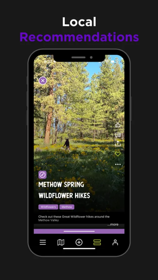
Share local experiences including nearby restaurants, bars and shops.
Connect with other trail enthusiasts.
Explore outdoor activities in all seasons.
The hyper-local content in the TREAD Map is provided by those who are out on the trails and waterways or managing the land. It’s built for trail users by trail users and includes four-season, real-time updates.
Help maintain and improve trails
TREAD Map is informed by local land managers and allows users to share observations with land managers. That means when you post to TREAD Talk, you’re providing important information to the people who can help!
