About WxRadarTilt
Features:
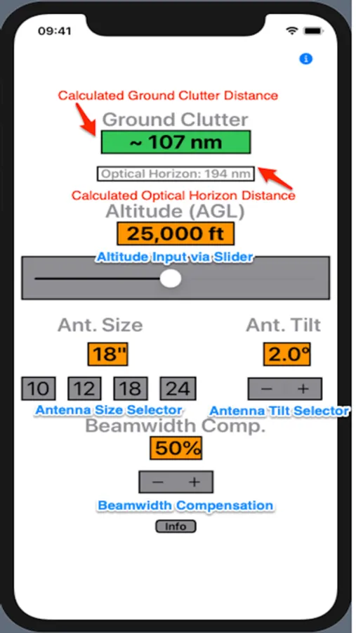
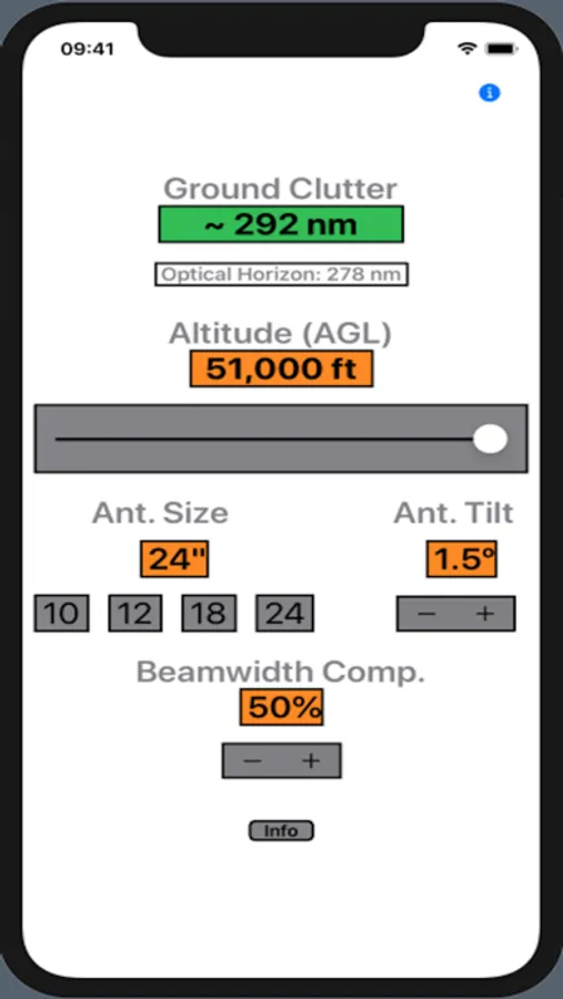
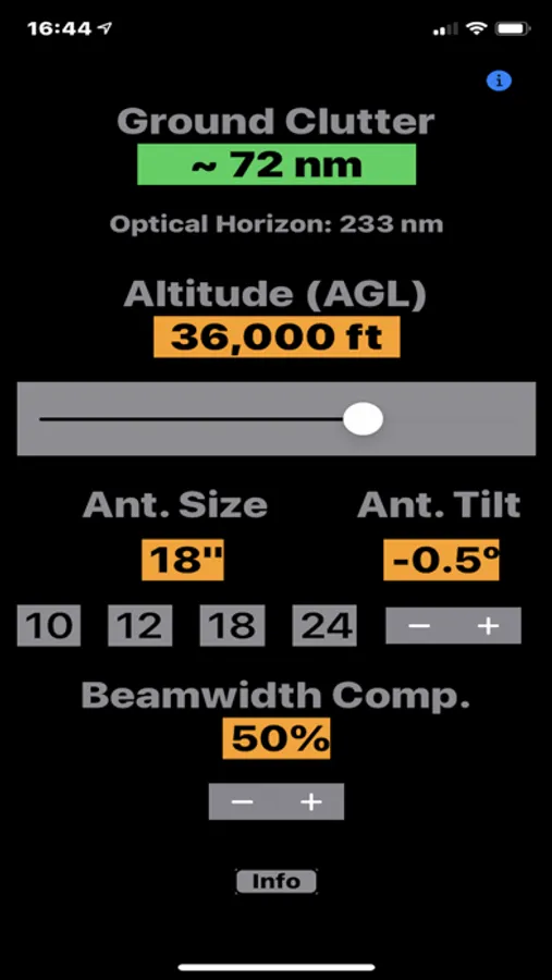
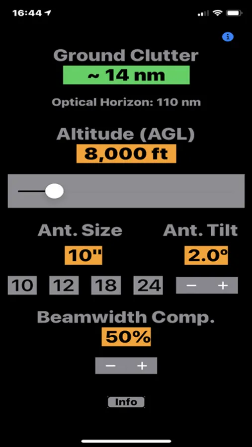
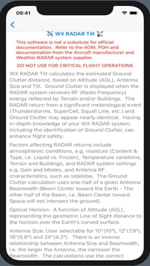
+ Pilot Input of Altitude (AGL), combined with Antenna Size and Antenna Tilt, are used in the calculations. All calculations are dynamic and occur immediately with user input.
+ Calculates estimated Ground Clutter Distance based on WX RADAR parameters and Altitude.
+ Calculates Line of Sight (LOS) distance referred to as "Optical Horizon", corrected for Earth Curvature.
+ Altitude input range is 1,000 ft to 51,000 ft.
+ Supports 10", 12", 18", 24", 28", 30" and 48" Antennas. The Calculated Beamwidth is based on Antenna size and average Wavelength.
+ Beamwidth Compensation feature provides the ability for User input of values to explore the affect of the Antenna radiating RF energy at other than the published Beamwidth values, which may affect the distance at which RADAR Ground Clutter occurs.
Questions, Comments or Feedback: email - info@flytetools.com
