
About GeoPard Agriculture
GeoPard Agriculture mobile enables you to have all your farm data in your pocket.
GeoPard is a cloud-based powerhouse and mobile apps for precisionAg data with business intelligence capabilities.
GeoPard Variable Rate (VR) prescription maps are used for fertilizing, crop protection, seeding, irrigation, desiccation, optimization of crop inputs and yield while preserving resources.
The GeoPard engine is capable of processing satellite imagery, soil sampling, yield data, high-density sensor, and topography data.
GeoPard provides:
- Offline maps. See your farm data layers in the field without internet
- Soil sampling planning
- Soil sampling results analytics
- MyJohnDeere Ops center integration
- As-applied data visualization and analytics
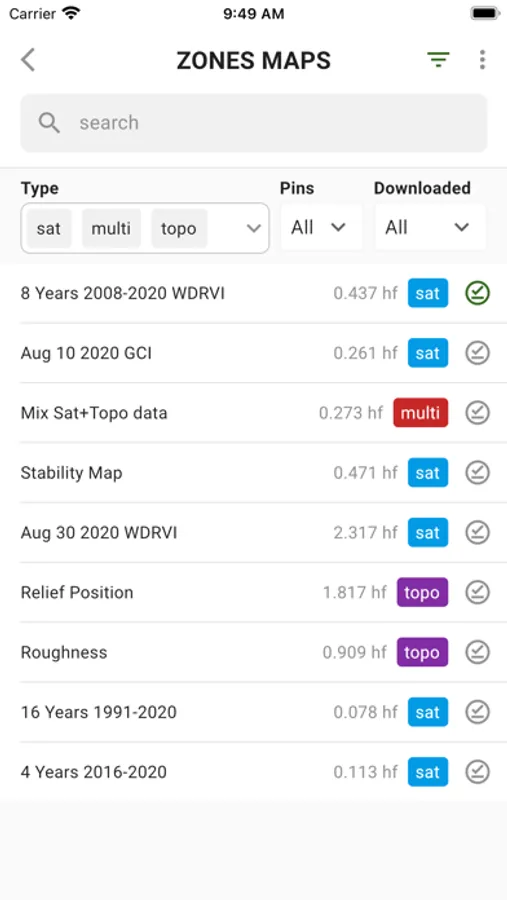
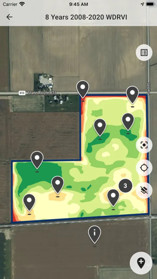
- Automated multi-year field potential zones (up to 32 years) and in-season field management zones
- Variable rate application (Prescription/Rx) maps
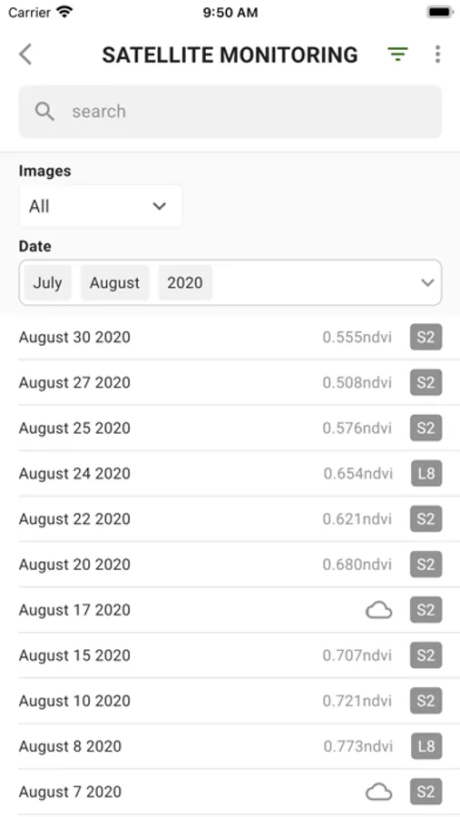
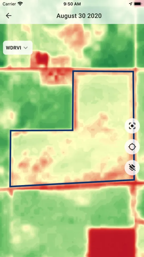
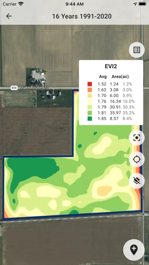
- Field and region level satellite monitoring (12 indices, incl. LAI, EVI, NDVI, NIR, etc.)
- Stability zones
- Management zones module to build your perfect VR map based on several data layers
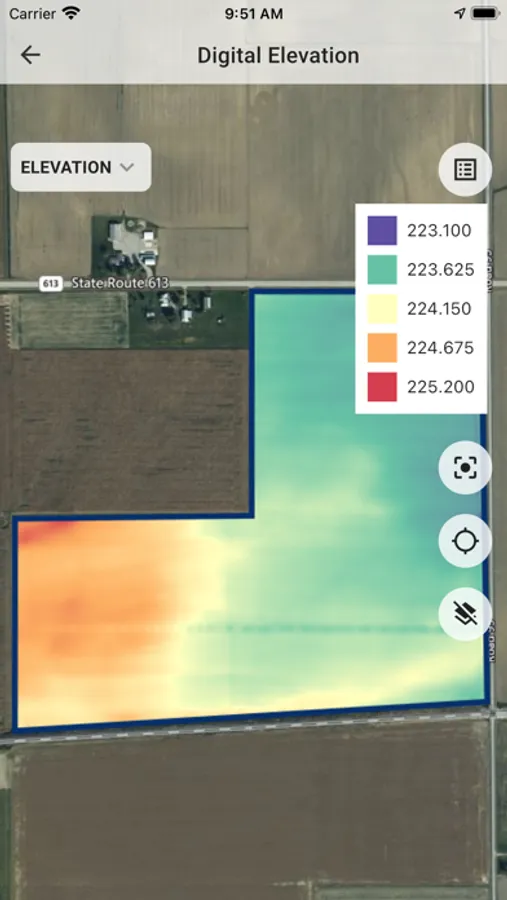
- Advanced Topography profile: Slope/Elevation/Aspect/Relief position based on remote sensing and machinery datasets
- Yield data analytics
- High-density sensor data analytics (EC, scanners)
- Detection of dependencies between data layers
More details in our blog https://geopard.tech/blog
GeoPard is a cloud-based powerhouse and mobile apps for precisionAg data with business intelligence capabilities.
GeoPard Variable Rate (VR) prescription maps are used for fertilizing, crop protection, seeding, irrigation, desiccation, optimization of crop inputs and yield while preserving resources.
The GeoPard engine is capable of processing satellite imagery, soil sampling, yield data, high-density sensor, and topography data.
GeoPard provides:
- Offline maps. See your farm data layers in the field without internet
- Soil sampling planning
- Soil sampling results analytics
- MyJohnDeere Ops center integration
- As-applied data visualization and analytics
- Automated multi-year field potential zones (up to 32 years) and in-season field management zones
- Variable rate application (Prescription/Rx) maps
- Field and region level satellite monitoring (12 indices, incl. LAI, EVI, NDVI, NIR, etc.)
- Stability zones
- Management zones module to build your perfect VR map based on several data layers
- Advanced Topography profile: Slope/Elevation/Aspect/Relief position based on remote sensing and machinery datasets
- Yield data analytics
- High-density sensor data analytics (EC, scanners)
- Detection of dependencies between data layers
More details in our blog https://geopard.tech/blog
GeoPard Agriculture Screenshots
Tap to Rate: