About SocialMind
SocialMind® is a Social Network, a communication and entertainment project integrated in a multimedia platform (Live Station) from which you can visit one of the world's largest collections of remotely controlled Over IP cameras, live from all over the world.
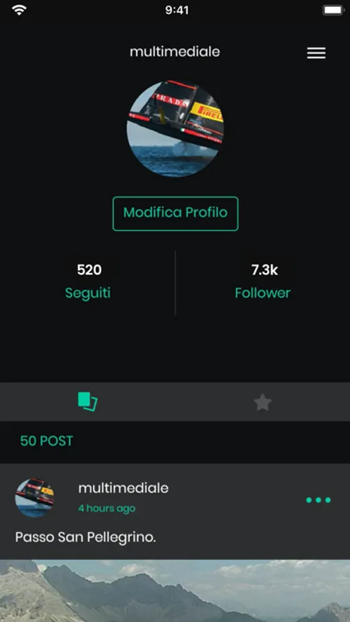
All these functions to "live" in real time you will find them day by day browsing on Social Mind®; you can "follow" a user, "share", "post", "comment", put a "like" within the same platform, using the classic language of the most advanced social networks.
The integration of the "Live Station" to the traditional SocialMind® platform, represented by the typical functions of social networks, is reproduced by multiple types of navigation.
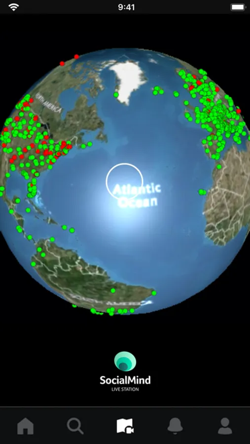
1. The first consists of a Terrestrial Globe implemented in 3D, divided into thousands of Pins, which gives access to the cameras distributed in all the states and regions of the world.
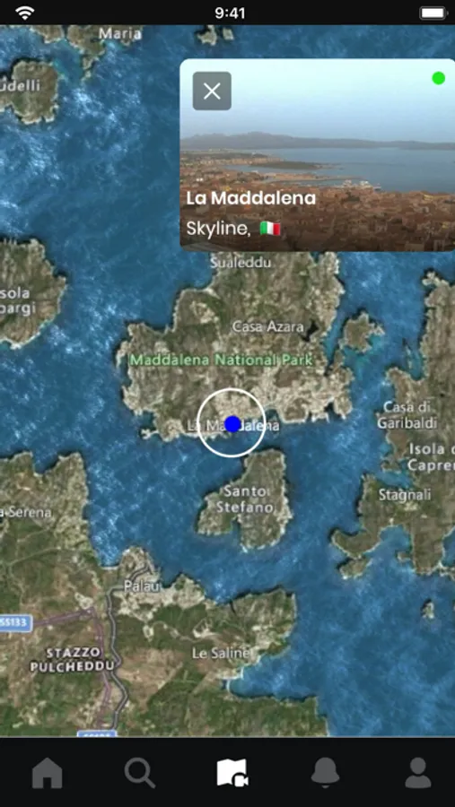
The 3D terrestrial globe is made up of a series of satellite maps that allow you to precisely examine the location where the camera was installed.
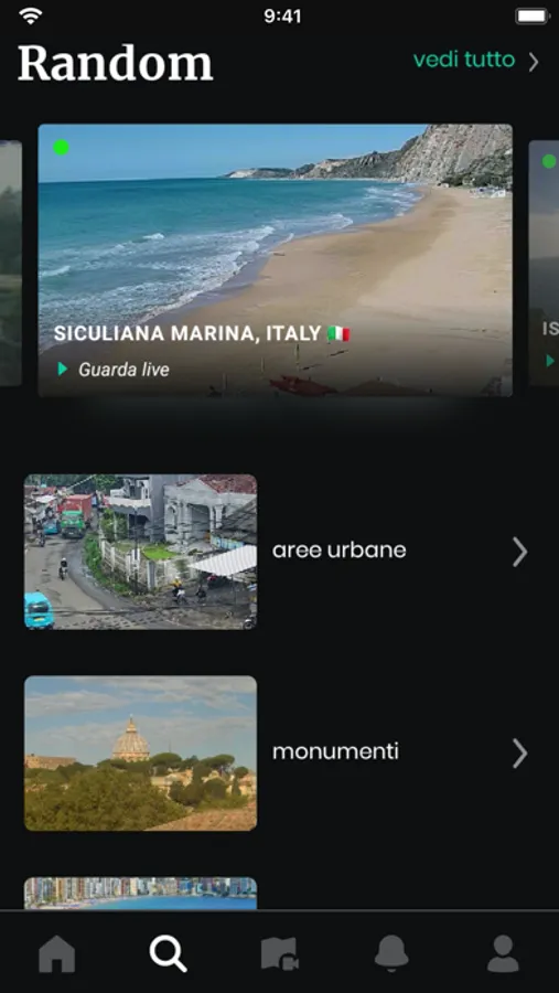
2. A second type of navigation consists of the thematic areas summarized below: Urban Areas, Roads, Monuments, Sea, Beaches, Mountains, Ski slopes, Countryside, Rivers, Lakes, Ports, Pools, Airports, Skyline, Sports, University , Railways, Animals, Interiors.
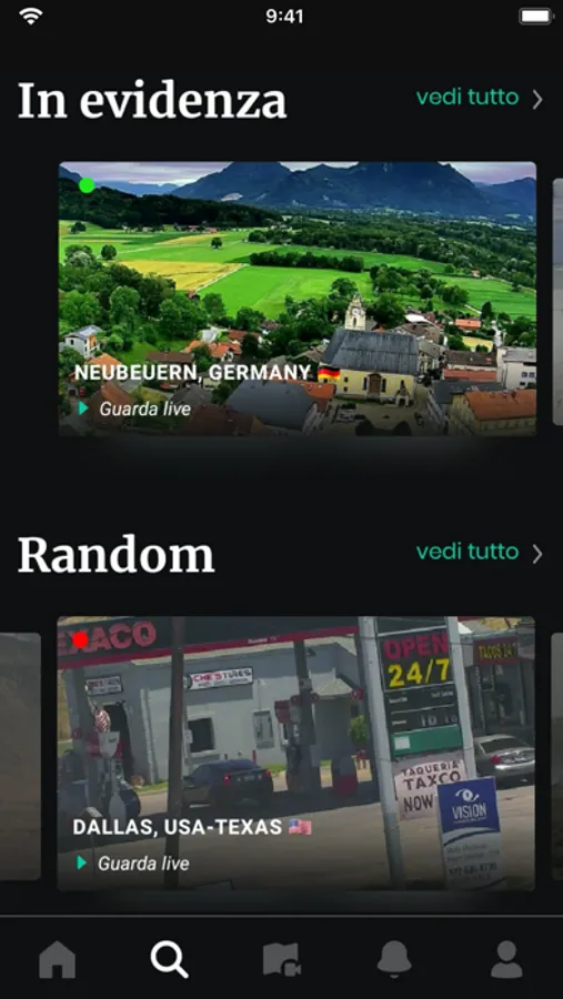
3. A third type of navigation is determined by an agile and useful navigation tool which consists of a latest generation search engine. With this tool it is possible to set searches for Cities, States, thematic areas, and it will be possible to search for the profiles of people present on SocialMind.®
4. Another dynamic and fast search tool is the Random, built specifically for quick, more emotional and playful navigation.
With the Live Station SocialMind® you are always live and at the center of the world, immersed in the social fabric of the global village: a journey without borders, unlimited in time and space.
Download for free Social Mind® and you will give yourself "the gift of ubiquity",
a real flight of the mind.
What is needed and what can you do by downloading the SocialMind® application for free?
You can give your partner an unforgettable sunset over the Pacific Ocean or play with sunrises and sunsets throughout the day, hour by hour according to different latitudes.
Or observe which products are displayed in the windows of a pharmacy or drugstore in any city in the world.
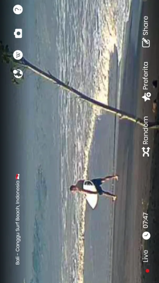
Or choose to watch the surprises of the surfers live from the beaches of Bali or Hawaii.
If, on the other hand, you deal with fashion, you could observe the new garments worn by people in the most famous metropolises, penetrating the social fabric of urban centers in all regions of the world.
With the SocialMind® platform it is possible to move from the crowded streets of Tokyo to the Finnish forests. '
And then the possibility of monitoring the situation of the seas or the approach of a hurricane. You will thus be able to contribute to the choice of a travel destination based on live and remotely controllable images.
A modern and technological tool also suitable for children who can learn geography while having fun, exploring the locations helped by a series of additional and detailed information.
For each selected location, it will be possible to consult: History, Literature, Territory, Climate, Monuments, places of greatest interest, Architecture, Demographic Evolution, Ethnic groups and Religions, Administration and Politics, Transport, Tourism , Economics, and finally the Administrative divisions.
