With this mapping app, you can view live wildfire locations across the US and access GPS navigation features. Includes hourly updates and real-time tracking data.
AppRecs review analysis
AppRecs rating 2.3. Trustworthiness 66 out of 100. Review manipulation risk 23 out of 100. Based on a review sample analyzed.
★★☆☆☆
2.3
AppRecs Rating
Ratings breakdown
5 star
15%
4 star
8%
3 star
8%
2 star
31%
1 star
38%
What to know
✓
Low review manipulation risk
23% review manipulation risk
⚠
Mixed user feedback
Average 2.3★ rating suggests room for improvement
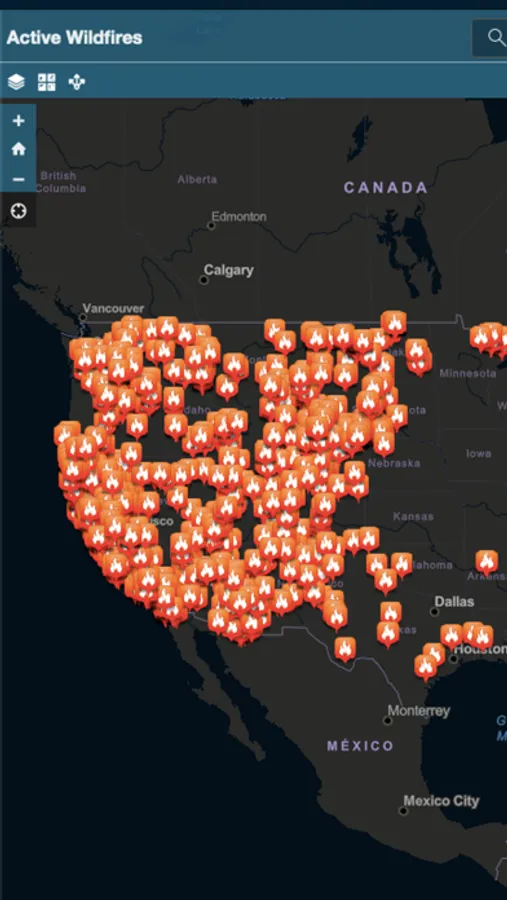
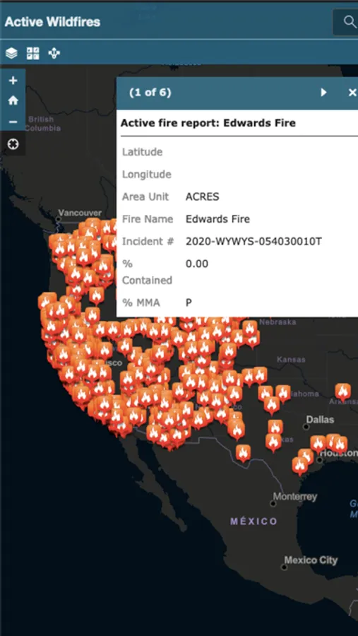
About Active Wildfire Tracker Map
Active Wildfire Tracker Map is an interactive mapping application that tracks the current active wildfires in the US. The data is updated hourly and offer GPS capabilities.
Active Wildfire Tracker Map Screenshots
Tap to Rate:
Reviews for Active Wildfire Tracker Map
BBHX
Broken?
Used to be a good app but now just shows up an ad page like a broken website so I don’t know what’s up
1st Woody
Help!
The app worked great at first until I received an ad that would not go away and was not in English. If it continues I can’t even use it!