About Rando Pyrénées
Rando is a simple app which let you download for free all necessary offline detailed maps for hiking required for your trail!
- No subscription, free offline maps
- Import your own GPX file
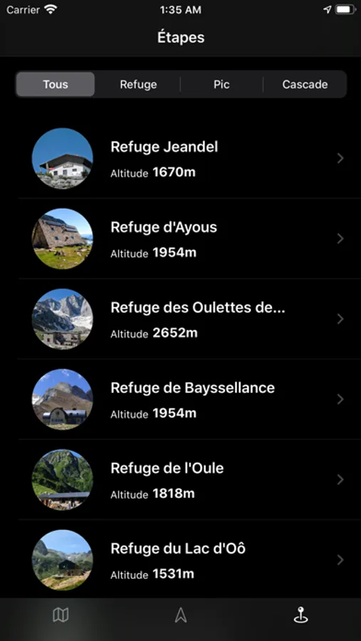
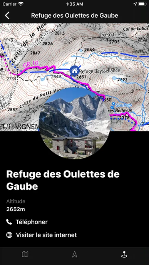
- Demo steps and trails provided in French Pyrénées (Go hiking in our lovely mountains!)
- Navigation with heading along your path
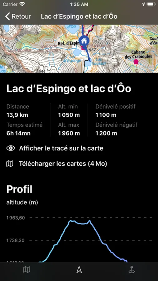
- ETA / distance / elevation of your GPX
- Elevation profile graph
- 3D tour to visualize your trail (require an internet connection)
- Import your Apple Watch workouts
- No subscription, free offline maps
- Import your own GPX file
- Demo steps and trails provided in French Pyrénées (Go hiking in our lovely mountains!)
- Navigation with heading along your path
- ETA / distance / elevation of your GPX
- Elevation profile graph
- 3D tour to visualize your trail (require an internet connection)
- Import your Apple Watch workouts
Rando Pyrénées Screenshots
Tap to Rate: