In this Earth visualization app, you can explore satellite images and visualize Earth data with overlays and time-lapse comparisons. Includes satellite image access, data visualization tools, and augmented reality features.
AppRecs review analysis
AppRecs rating 4.6. Trustworthiness 75 out of 100. Review manipulation risk 25 out of 100. Based on a review sample analyzed.
★★★★☆
4.6
AppRecs Rating
Ratings breakdown
5 star
85%
4 star
4%
3 star
4%
2 star
4%
1 star
4%
What to know
✓
Low review manipulation risk
25% review manipulation risk
✓
Credible reviews
75% trustworthiness score from analyzed reviews
✓
High user satisfaction
85% of sampled ratings are 5 stars
About Orbiter - Earth Visualizer
See planet Earth as never before. Using current and past data from satellites, Orbiter presents beautiful unfiltered satellite images and time-lapse overlays of Earth data. See invisible phenomena like atmospheric pollution, ozone, sea temperature, and more.
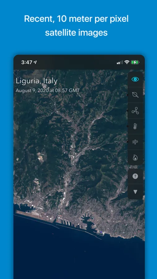
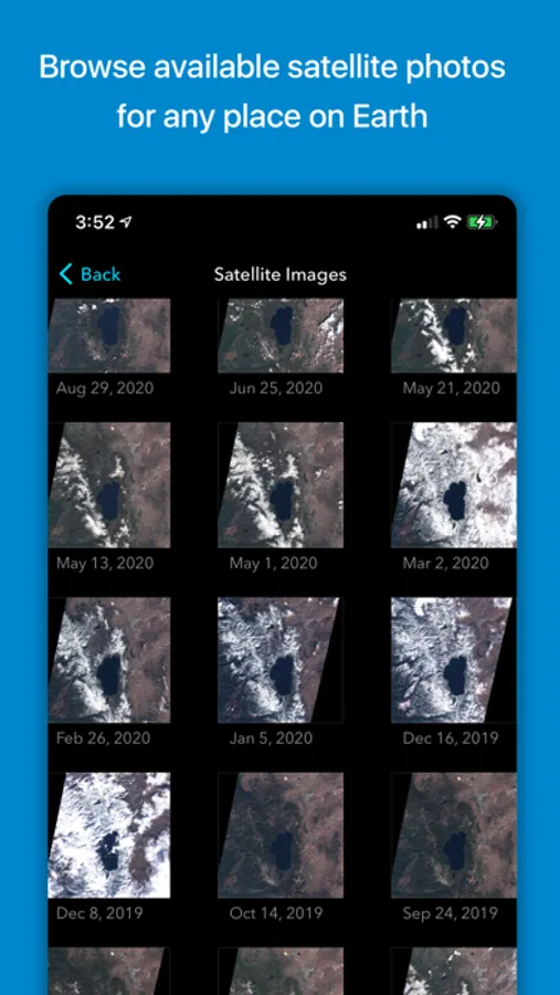
• RECENT SATELLITE IMAGES collected from the ESA’s Sentinel-2 satellites
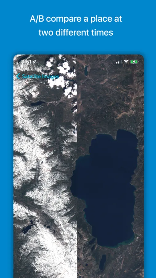
• COMPARE IMAGES with an A/B slider to see how landscapes change over time
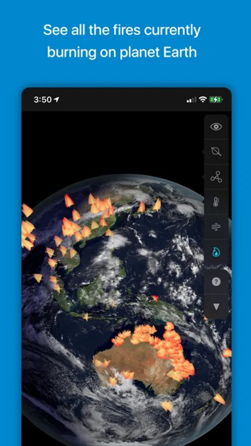
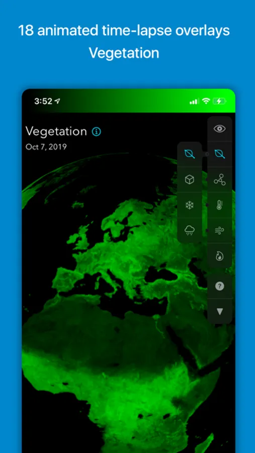
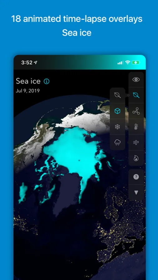
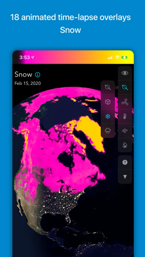
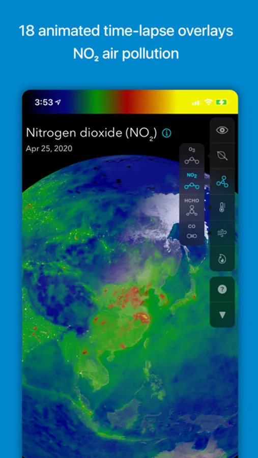
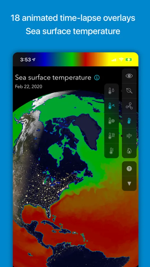
• VISUALIZE DATA including air pollution, vegetation, soil moisture, temperature, sea ice, snow, and more
• EXPLORE TRENDS in satellite-collected data, and see how an area changes throughout the seasons
• ANALYZE NATURAL AND HUMAN-MADE PATTERNS as reflected in Earth data. See how human activity affects air pollution, view before-and-after comparisons of major construction projects and see the effects of disasters such as the Beirut explosion of August 2020.
• AUGMENTED REALITY lets you project the globe as if it were in your room. Hold your phone and move around the see the world from all sides.
Orbiter is built atop a new data engine called OPIE (Orbiter Planetary Intelligence Engine.) This server-side system collects raw numeric data from satellites and converts them into human-friendly formats.
Orbiter’s data visualizations represent a new way of perceiving satellite-collected Earth data. Whereas this data traditionally had to be viewed using slow, technical tools, Orbiter presents it in the form of beautiful colored animated overlays wrapped around a globe.
Orbiter’s mission is to unlock the massive public investment in the field of Earth observation. The ESA and NASA have spent billions of dollars developing and launching their Earth observation programs. Until now, the data they collect has been used primarily within the domain of professional researchers. Orbiter makes the data accessible to everyone through a visual interface that encourages exploration and discovery.
The Orbiter app is built with Apple's Metal graphics API for maximum performance. Satellite data acquired from the European Space Agency’s Copernicus programme API. iOS exclusive.
• RECENT SATELLITE IMAGES collected from the ESA’s Sentinel-2 satellites
• COMPARE IMAGES with an A/B slider to see how landscapes change over time
• VISUALIZE DATA including air pollution, vegetation, soil moisture, temperature, sea ice, snow, and more
• EXPLORE TRENDS in satellite-collected data, and see how an area changes throughout the seasons
• ANALYZE NATURAL AND HUMAN-MADE PATTERNS as reflected in Earth data. See how human activity affects air pollution, view before-and-after comparisons of major construction projects and see the effects of disasters such as the Beirut explosion of August 2020.
• AUGMENTED REALITY lets you project the globe as if it were in your room. Hold your phone and move around the see the world from all sides.
Orbiter is built atop a new data engine called OPIE (Orbiter Planetary Intelligence Engine.) This server-side system collects raw numeric data from satellites and converts them into human-friendly formats.
Orbiter’s data visualizations represent a new way of perceiving satellite-collected Earth data. Whereas this data traditionally had to be viewed using slow, technical tools, Orbiter presents it in the form of beautiful colored animated overlays wrapped around a globe.
Orbiter’s mission is to unlock the massive public investment in the field of Earth observation. The ESA and NASA have spent billions of dollars developing and launching their Earth observation programs. Until now, the data they collect has been used primarily within the domain of professional researchers. Orbiter makes the data accessible to everyone through a visual interface that encourages exploration and discovery.
The Orbiter app is built with Apple's Metal graphics API for maximum performance. Satellite data acquired from the European Space Agency’s Copernicus programme API. iOS exclusive.
Orbiter - Earth Visualizer Screenshots
Tap to Rate:
Reviews for Orbiter - Earth Visualizer
Oxodozzgg
Terrible imagery
You can barely see a city, like Albuquerque. Useless to me.
steadystatic
Very cool
Love the AR and lots of great earth data - would like to see more controls