With this app, you can specify a location and capture an image to calculate surface type percentages using integrated mapping and machine learning. Includes features for analyzing impervious and pervious surfaces, and sharing results for research or environmental projects.
About Tar Print
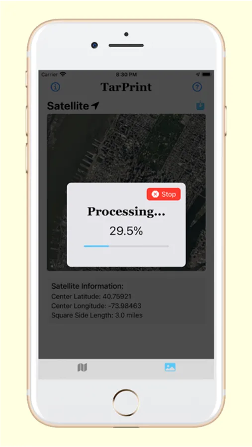
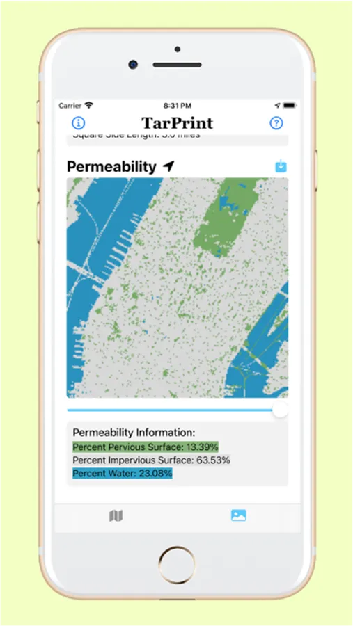
Tar Print streamlines the process of calculating pervious and impervious surface percentages by integrating Apple Maps with machine learning and novel computer vision algorithms. The user can easily analyze surface types without having to train any classifiers.
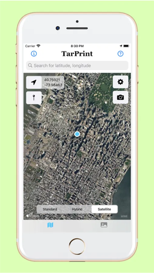
Simply specify a location and settings, and click the camera button to quantify impervious surface percentages.
Allowing more students and researchers easy access to a surface type analyzer increases the extent of citizen science and environmental stewardship efforts to mitigate the harmful impacts of urban development on local water quality and stream ecology.
• • •
Please Note: While we offer location services, we DO NOT collect or store any location data. This resource is intended for in-the-field research, environmental stewardship projects, urban development, stormwater management, or any other project for which surface percentage types are of benefit. Also, we are currently assessing the accuracy of Tar Print against well-known remote sensing tools such as ArcGIS, to obtain results which we will make public.
Tar Print Screenshots

Tap to Rate: