iTAK
United States Department of the Army, TAK Product Center
3.7 ★
144 ratings
Free
In this geospatial app, users can view team locations, share sensor data, and collaborate on maps. Includes offline mapping, live video streaming, chat, and file sharing features.
AppRecs review analysis
AppRecs rating 3.7. Trustworthiness 75 out of 100. Review manipulation risk 20 out of 100. Based on a review sample analyzed.
★★★☆☆
3.7
AppRecs Rating
Ratings breakdown
5 star
42%
4 star
17%
3 star
19%
2 star
7%
1 star
15%
What to know
✓
Low review manipulation risk
20% review manipulation risk
✓
Credible reviews
75% trustworthiness score from analyzed reviews
✓
Authentic reviews
Natural distribution, no red flags
About iTAK
The Team Awareness Kit (TAK) (known as the Tactical Assault Kit in the Department of Defense) application:
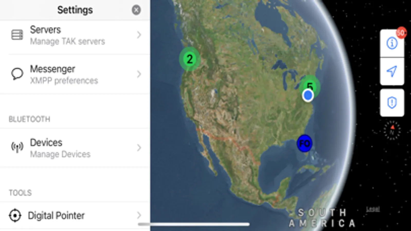
iTAK is a collaborative geospatial application to see your teams’ locations, sensor information, videos, chat, and more in real-time. iTAK supports Department of Defense (DoD) and commercial sector standards for icons, sensor information, and communication. Data can be pre-loaded into iTAK or downloaded from the network (via TAK Server) when available.
iTAK capabilities include:
• Online and offline mapping (most standard formats), download the maps right in the app
• Blue force / team tracking (BFT)
• Collaborative mapping, including points, drawings, locations of interest
• Import and display of KML, KMZ, GeoPDF overlays
• Location marking, sharing, with photo tagging
• Chat, file sharing, photo sharing
• Live video streaming with the ability to share video links
• Spotted map to mark and share multiple locations across your map
• Digital pointer to rapidly mark and share items on the map with your team
• Navigation-walking/hiking, driving, also useful flying and air-ground coordination
• Center on self or other objects (e.g. another person in the network)
• Range, bearing measurement tools
• Team Emergency Beacons
• Customizable toolbar
• 3D perspective
• All data is secured and fully compatibility with the TAK ecosystem (ATAK, TAK Server, WinTAK)
• Useful for law enforcement, first responders, hunting, fishing, ornithology, wildlife site survey
System Requirements
Operating System: iOS version 17 and later.
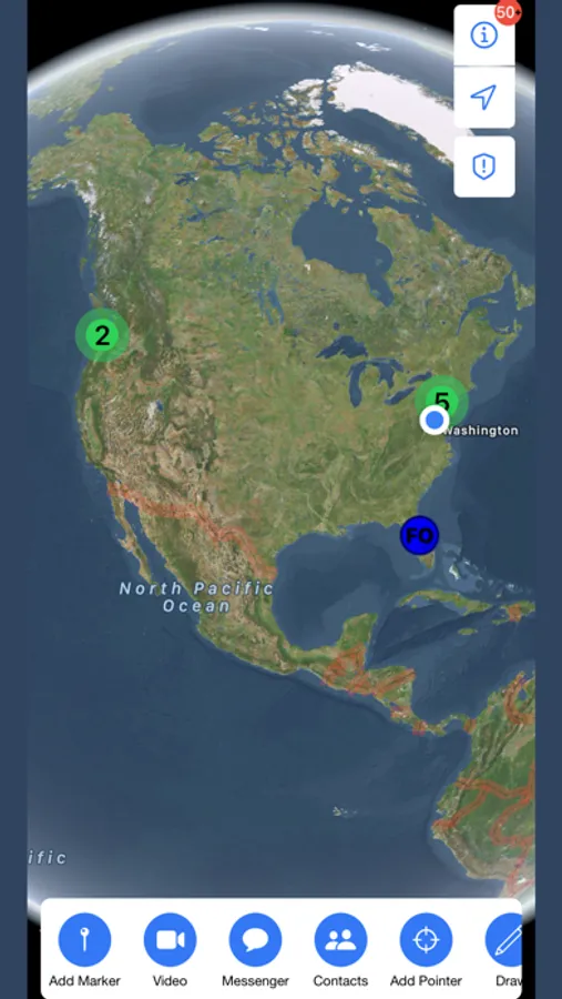
iTAK Screenshots
Tap to Rate:
Reviews for iTAK
SaintNicklas
ATAK
Why can’t it be more like the ATAK version utilized on Android devices. If it was the same but on iPhone, I would pay for it.
Umbra0372
Good luck trying to set it up
The app would’ve been good if the sign up process didn’t take a rocket science degree overall not streamlined and clunky. Make it where you can sign in and connect with the account you make on the website so that anyone can navigate it and use it