AppRecs review analysis
AppRecs rating 4.3. Trustworthiness 76 out of 100. Review manipulation risk 24 out of 100. Based on a review sample analyzed.
★★★★☆
4.3
AppRecs Rating
Ratings breakdown
5 star
62%
4 star
17%
3 star
7%
2 star
14%
1 star
0%
What to know
✓
Low review manipulation risk
24% review manipulation risk
✓
Credible reviews
76% trustworthiness score from analyzed reviews
✓
High user satisfaction
79% of sampled ratings are 4+ stars (4.3★ average)
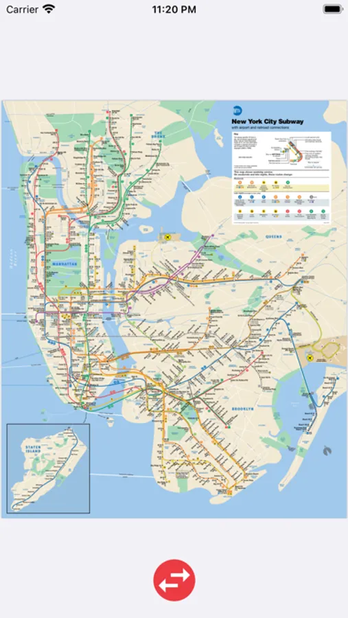
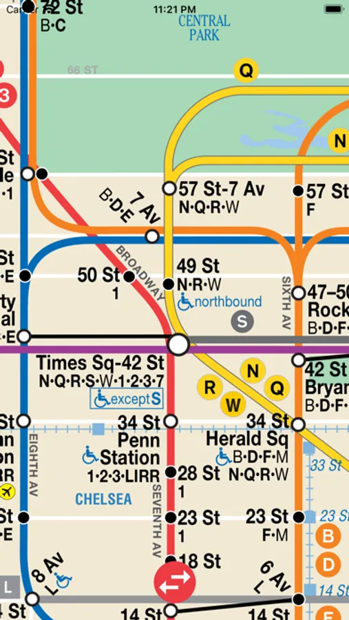
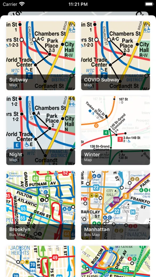
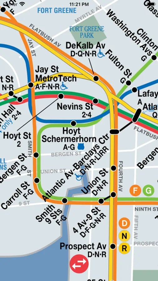
About NYC Maps – Subway, Bus, & LIRR
A simple New York City (NYC) subway map, along with bus maps for the Bronx, Manhattan, Brooklyn, Queens, and Staten Island, and a map of the LIRR. Zoom in as far as you'd like, the map stays crisp and clear.
NYC Maps – Subway, Bus, & LIRR Screenshots
Tap to Rate:
Reviews for NYC Maps – Subway, Bus, & LIRR
Carlitos1239
Ok but outdated
The subway map works, but some sections are outdated (Coney Island, local NR service, etc). Could be good to upgrade map to be up to date otherwise it becomes useless
Andy890108
Outdated
The maps are outdated