About HikeSim
This app interfaces with HealthKit and the Health app for collection and display of health metrics. Included in the metrics are heart rate, distance traveled, calories burned, exercise time, and the activity rings.
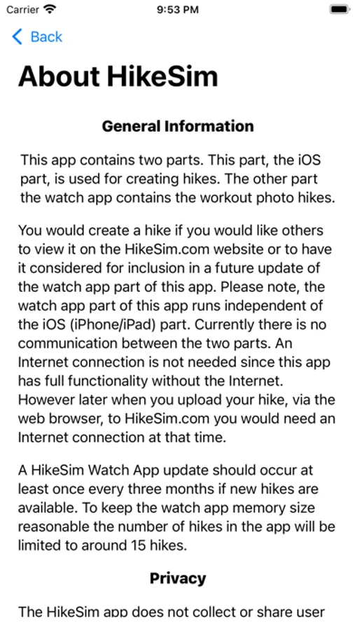
The app contains two parts. An Apple Watch workout app featuring simulated hikes and an iOS part for creating HikeSim Photo Hikes as well as accessing the HikeSim.com website to view the simulated hikes.
HikeSim Watch App
The Apple Watch workout part features walking, running and cycling workouts. During your workout your current distance, heart rate, calories burned, pace, a hike photo from the actual hike based on distance traveled, and your current altitude (for outdoor type hikes) are continuously displayed. Screen selections allow for viewing a larger photo, common watch media playback controls, and if an outdoor hike an altitude graph and GPS screen are available.
This watch app has full functionality regardless of Internet connectivity. It uses the built-in GPS for location and altitude information. The app use is completely anonymous.
Hike statistics can be viewed at hike completion and in the Apple iOS Fitness application.
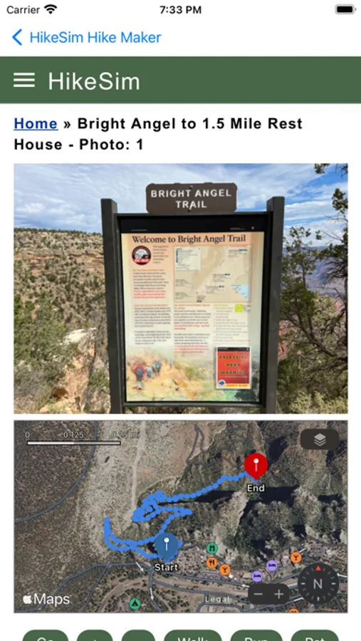
Simulated hikes are from Lassen Peak (Lassen Volcanic National Park), Wilderness Gardens Preserve in Southern California, Temecula, CA community hike, Rainbow Falls trail in Devils Postpile National Monument, Grand Canyon National Park, Petrified Forest National Park, and Bryce Canyon National Park, and various trails in Dead Horse Creek State Park in Arizona.
HikeSim Hike Maker (iOS)
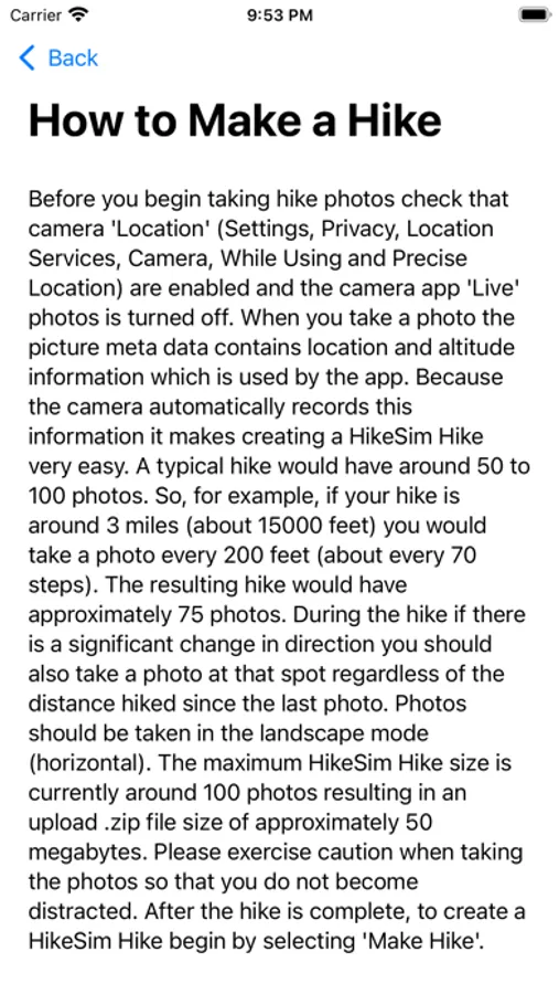
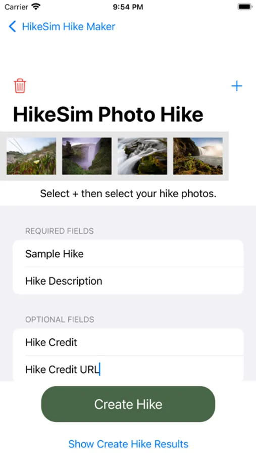
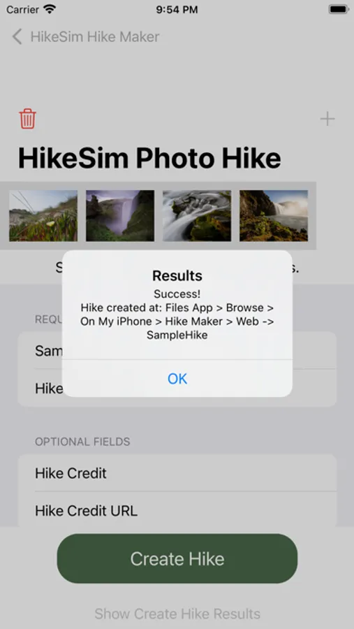
The iOS part of this app is used for creating HikeSim photo hikes. With it all you need to do is take out your iPhone, make sure location and Precise Location are enabled then start your hike. The camera does all the work recording your location and altitude. When you finish you hike use the app to create your hike for upload to the HikeSim.com server. After review your hike will be made available for all to view over the web. You can even request that your hike be included in the next update of the watch app part. The iOS app also allows you to connect to the hikesim.com server for runtime simulation of the various hikes.
