AppRecs review analysis
AppRecs rating 5.0. Trustworthiness 0 out of 100. Review manipulation risk 0 out of 100. Based on a review sample analyzed.
★★★★★
5.0
AppRecs Rating
Ratings breakdown
5 star
100%
4 star
0%
3 star
0%
2 star
0%
1 star
0%
What to know
✓
High user satisfaction
100% of sampled ratings are 5 stars
About Pocket Maps
Welcome to Pocket Maps, the app for safely exploring the outdoors on public access land in Aotearoa, New Zealand.
Pocket Maps is developed and owned by Herenga ā Nuku Aotearoa, the Outdoor Access Commission,
and displays a range of maps and layers that are also available on the Herenga ā Nuku mapping system.
Pocket Maps displays Public Access Areas derived by Herenga ā Nuku from cadastral information, which indicate what land is publicly accessible.
The app also contains tracks, recreation spots, huts and campsite layers which are maintained and owned by other government agencies.
Features include:
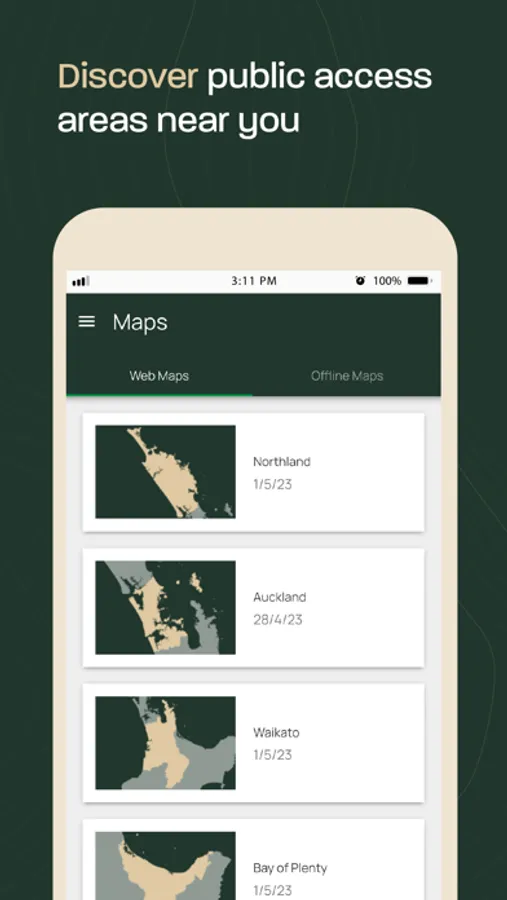
• Publicly accessible areas in Aotearoa, shown by type
• Range of map layers for outdoor recreation
• Ability to generate elevation profiles
• Get coordinates and share
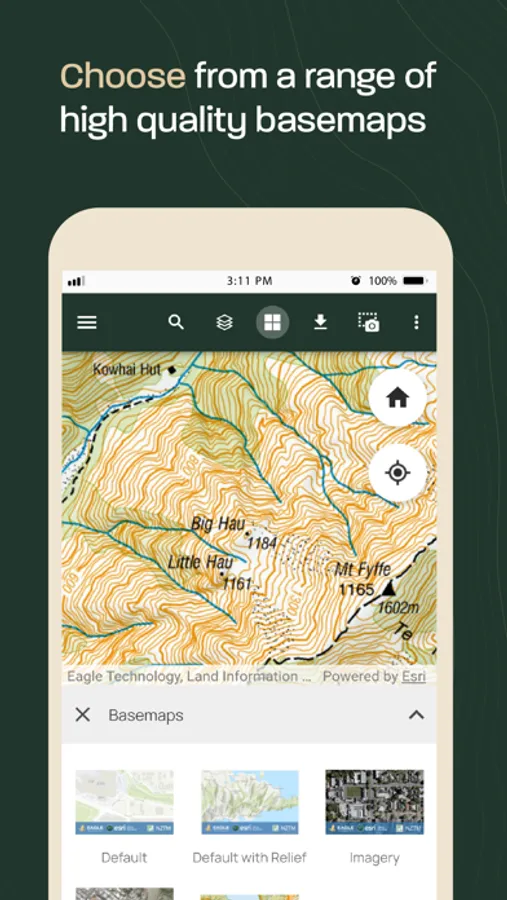
• Selection of high quality basemaps
• Offline map regions
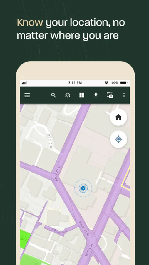
• Find your location
• Draw and measure routes
Pocket Maps is developed and owned by Herenga ā Nuku Aotearoa, the Outdoor Access Commission,
and displays a range of maps and layers that are also available on the Herenga ā Nuku mapping system.
Pocket Maps displays Public Access Areas derived by Herenga ā Nuku from cadastral information, which indicate what land is publicly accessible.
The app also contains tracks, recreation spots, huts and campsite layers which are maintained and owned by other government agencies.
Features include:
• Publicly accessible areas in Aotearoa, shown by type
• Range of map layers for outdoor recreation
• Ability to generate elevation profiles
• Get coordinates and share
• Selection of high quality basemaps
• Offline map regions
• Find your location
• Draw and measure routes
Pocket Maps Screenshots
Tap to Rate:
Reviews for Pocket Maps
Rodiddydogalog
very cool resource
helpful for finding unmarked areas where can walk / bike paper roads