About TempAqua
The TempAqua application facilitates mapping of intermittent streams. It is designed to make field work more efficient and less error-prone.
You collect the data in the field and then export it directly to the database. The application helps you navigating among mark-points, record the stream-related data, including photos and videos. The application is configurable; You import mark-points, stream network, and catchment shapes from geo-json files. We (the application developers) do not see or store your data.
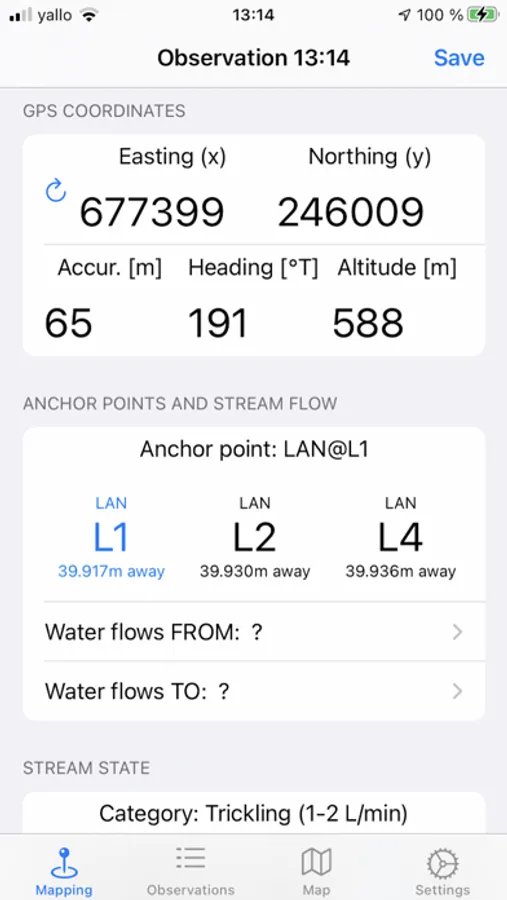
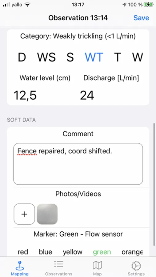
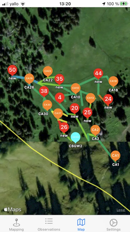
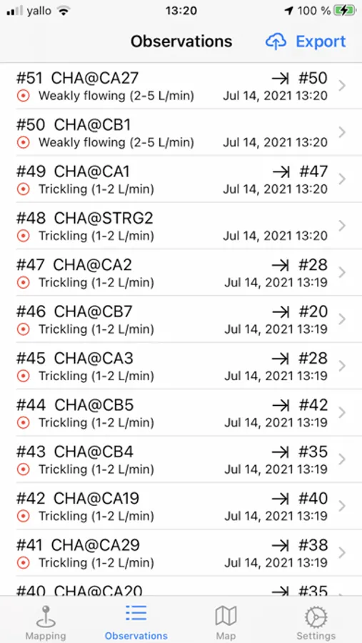
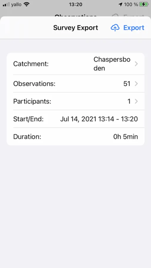
The mapping mechanics is fairly simple. You navigate to interested mark-points based on your current location and imported catchment definition. You enter in the app the the data collected in these locations, like current stream state, discharge, comment, photos, or even movies of the flowing stream. After all, you click a button to simply export the survey to the database.
This application was developed as part of the TempAqua research project conducted at EPFL. In this project we investigate intermittent streams. Contact us (izabela.bujak@epfl.ch or jana.vonfreyberg@epfl.ch) for more information.
You collect the data in the field and then export it directly to the database. The application helps you navigating among mark-points, record the stream-related data, including photos and videos. The application is configurable; You import mark-points, stream network, and catchment shapes from geo-json files. We (the application developers) do not see or store your data.
The mapping mechanics is fairly simple. You navigate to interested mark-points based on your current location and imported catchment definition. You enter in the app the the data collected in these locations, like current stream state, discharge, comment, photos, or even movies of the flowing stream. After all, you click a button to simply export the survey to the database.
This application was developed as part of the TempAqua research project conducted at EPFL. In this project we investigate intermittent streams. Contact us (izabela.bujak@epfl.ch or jana.vonfreyberg@epfl.ch) for more information.
TempAqua Screenshots
Tap to Rate: