About QC Ready
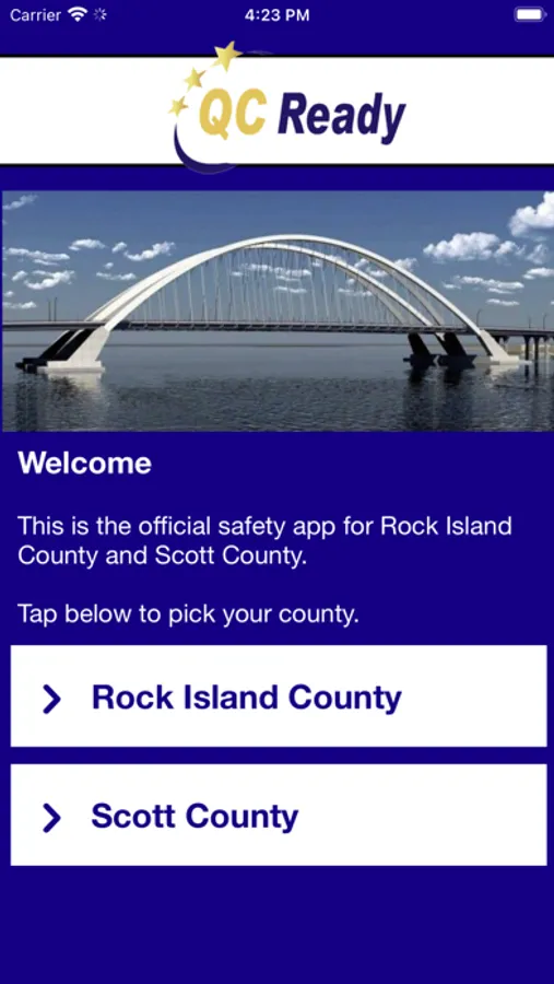
QC Ready is the official safety app of the Rock Island County and Scott County Emergency Management Agencies (EMA). The app will send you important safety alerts and provide instant access to local safety resources.
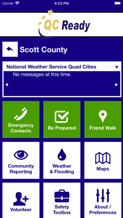
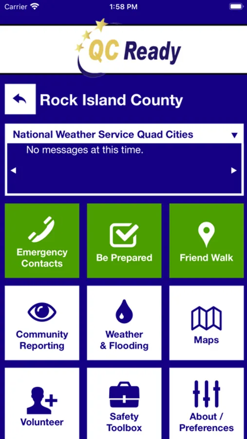
QC Ready features include:
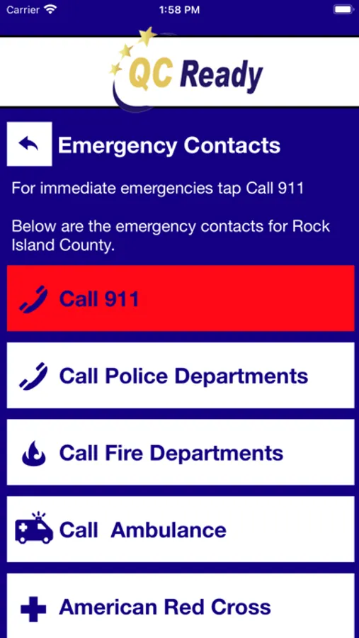
- Emergency Contacts: Contact local emergency services in case of an emergency or a non-emergency concern
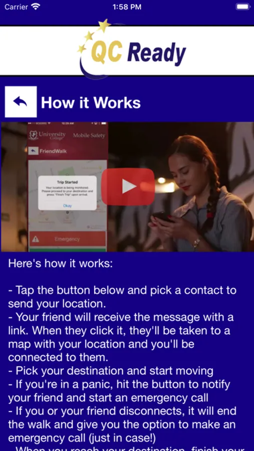
- Friend Walk: Send your location to a friend through email or SMS on your device. Once the friend accepts the Friend Walk request, the user picks their destination and their friend tracks their location in real time; they can keep an eye on them to make sure they make it safely to their destination.
- Community Reporting: Multiple ways to report a safety/security concern directly to specialty agencies, including weather, crime, and storm damage.
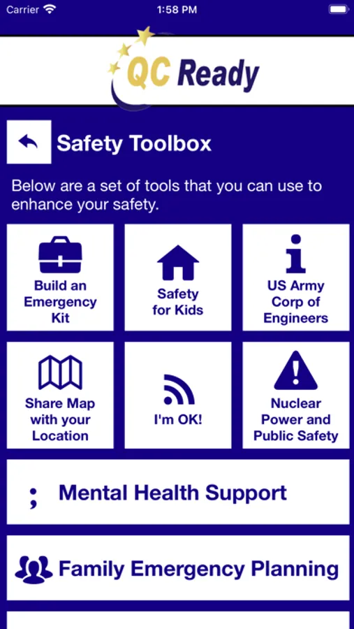
- Safety Toolbox: Enhance your safety with the set of tools provided in one convenient app.
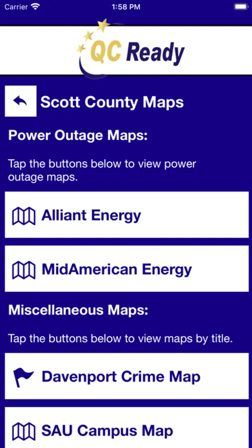
- Map: Public transportation, construction, power outages, and local maps.
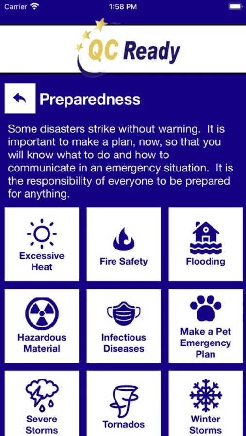
- Be Prepared: Emergency documentation that can prepare you for disasters or emergencies. This can be accessed even when users aren’t connected to Wi-Fi or cellular data.
-Weather and Flooding: Links to local river gauges, flood inundation models, storm reporting, and the national weather service radar.
- Safety Notifications: Receive instant notifications and instructions when emergencies occur.
Download today to ensure you’re prepared in the event of an emergency.
