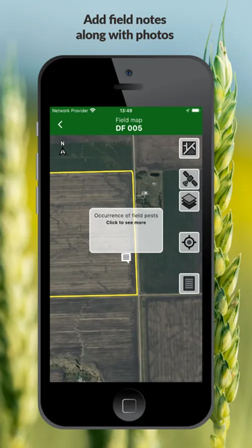
About SatAgro
SatAgro is an application specially designed for farmers and agronomists who want to use the most innovative techniques of precision and regenerative agriculture in their fields.
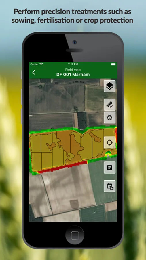
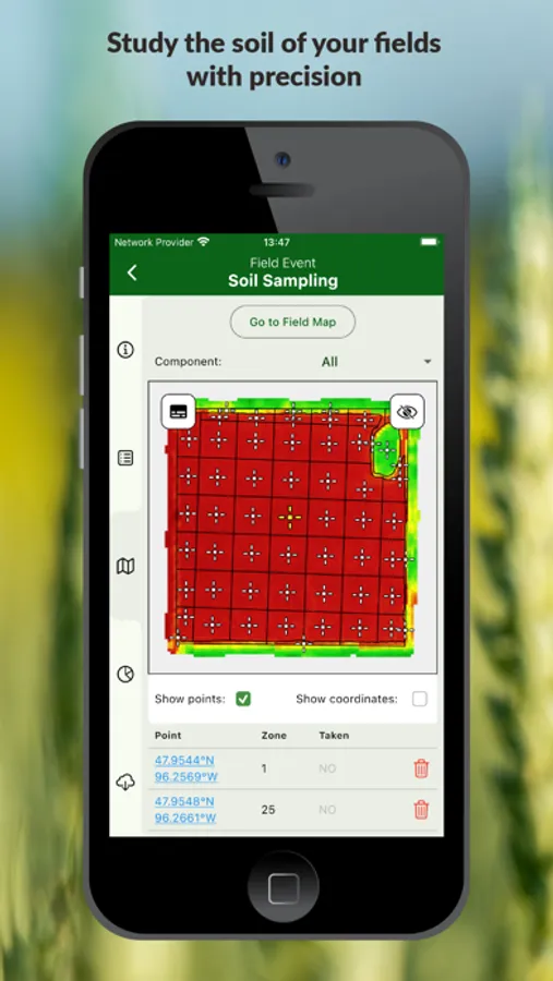
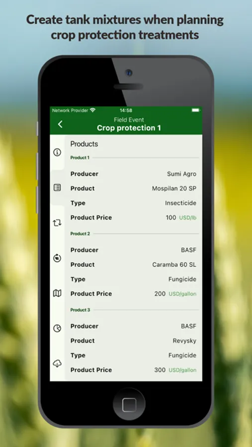
We offer a complete service of satellite monitoring of your crops. Thanks to the images available in SatAgro it is possible to perform different precision treatments such as sowing, fertilisation, crop protection, determine optimal soil sampling zones or the delimitation of management zones.
Variable rate prescription maps created in the application can be easily downloaded and used on most manufacturers’ terminals. With the help of SatAgro, you can maximise the potential of your fields, and save money on fertilisers and other inputs while taking care of the environment.
We provide open-access satellite observations (Sentinel, Landsat) as well as private operators imagery with a resolution of up to 3m per pixel. We process and treat the data individually for each of your fields and provide all the information you need to manage your farm more efficiently.
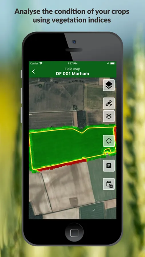
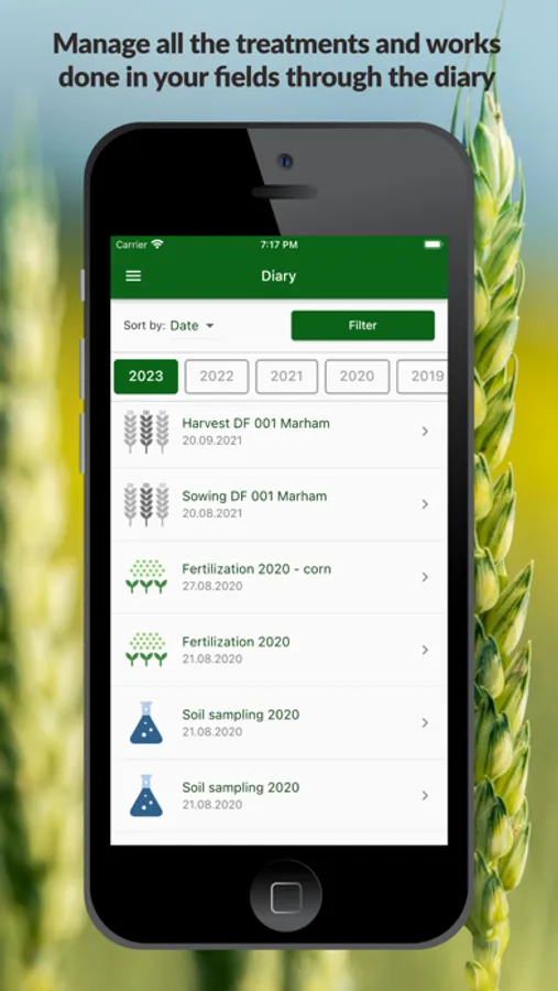
With SatAgro, you can follow the evolution of your crops, observe the effects of phytosanitary treatments, as well as draw conclusions from historical data. The mobile application provides easy access to all the mapping data offered by our service in a simple way so that it is useful in your daily work in the field.
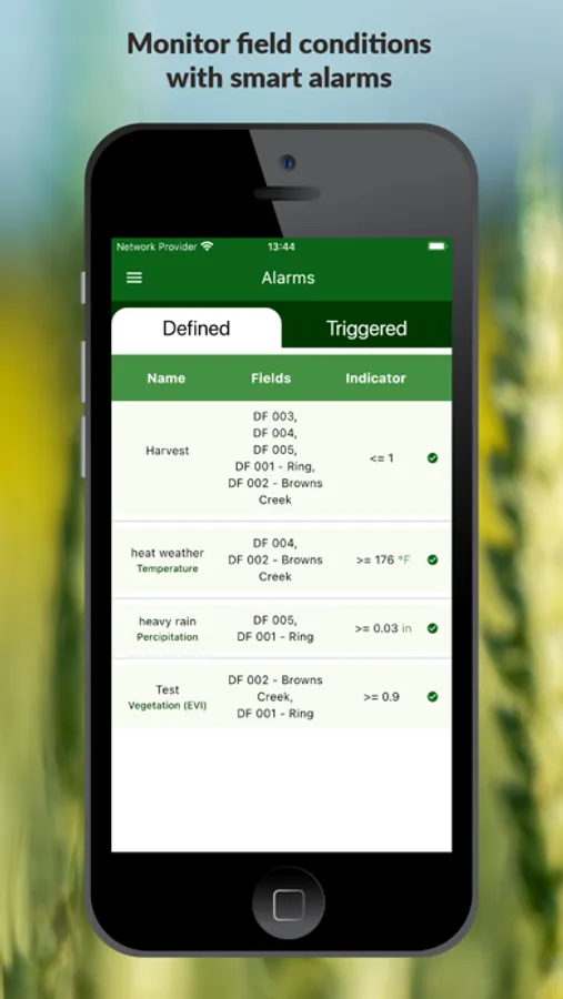
In addition, automatic alarms will warn you of sudden changes in crop and weather conditions.
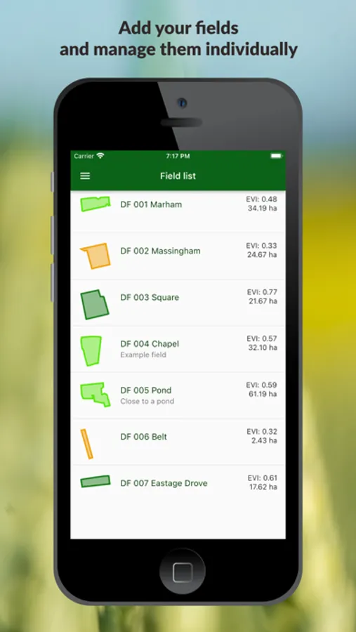
In order to use the mobile application you need to have an account in the SatAgro application and add at least one field to your account.
